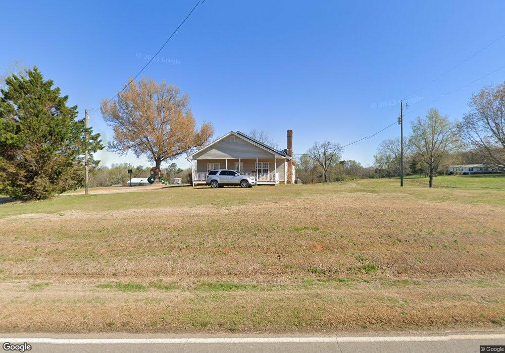
477 Sims Bridge Rd Commerce, GA 30530
Estimated Value: $240,529 - $499,000
3
Beds
2
Baths
1,502
Sq Ft
$249/Sq Ft
Est. Value
About This Home
This home is located at 477 Sims Bridge Rd, Commerce, GA 30530 and is currently estimated at $373,632, approximately $248 per square foot. 477 Sims Bridge Rd is a home located in Banks County with nearby schools including Banks County Primary School, Banks County Elementary School, and Banks County Middle School.
Ownership History
Date
Name
Owned For
Owner Type
Purchase Details
Closed on
Dec 11, 2019
Sold by
Hart Barry G
Bought by
Hart Gene
Current Estimated Value
Home Financials for this Owner
Home Financials are based on the most recent Mortgage that was taken out on this home.
Original Mortgage
$80,000
Outstanding Balance
$70,368
Interest Rate
3.7%
Mortgage Type
New Conventional
Estimated Equity
$303,264
Create a Home Valuation Report for This Property
The Home Valuation Report is an in-depth analysis detailing your home's value as well as a comparison with similar homes in the area
Home Values in the Area
Average Home Value in this Area
Purchase History
| Date | Buyer | Sale Price | Title Company |
|---|---|---|---|
| Hart Gene | -- | -- |
Source: Public Records
Mortgage History
| Date | Status | Borrower | Loan Amount |
|---|---|---|---|
| Open | Hart Gene | $80,000 |
Source: Public Records
Tax History
| Year | Tax Paid | Tax Assessment Tax Assessment Total Assessment is a certain percentage of the fair market value that is determined by local assessors to be the total taxable value of land and additions on the property. | Land | Improvement |
|---|---|---|---|---|
| 2025 | $1,395 | $73,081 | $9,548 | $63,533 |
| 2024 | $1,395 | $68,990 | $8,680 | $60,310 |
| 2023 | $1,042 | $51,196 | $6,918 | $44,278 |
| 2022 | $927 | $44,120 | $6,913 | $37,207 |
| 2021 | $864 | $38,666 | $4,612 | $34,054 |
| 2020 | $805 | $35,090 | $3,875 | $31,215 |
| 2019 | $694 | $30,099 | $3,875 | $26,224 |
| 2018 | $684 | $29,205 | $2,981 | $26,224 |
| 2017 | $704 | $28,816 | $2,592 | $26,224 |
| 2016 | $724 | $28,816 | $2,592 | $26,224 |
| 2015 | $741 | $28,816 | $2,592 | $26,224 |
| 2014 | $741 | $31,412 | $5,188 | $26,224 |
| 2013 | -- | $31,412 | $5,188 | $26,224 |
Source: Public Records
Map
Nearby Homes
- 333 Sims Bridge Rd
- 0 Freedom Ln Unit 9B
- 0 Freedom Ln Unit 18C 10380663
- 0 Freedom Ln Unit 9D
- 0 Freedom Ln Unit 9C
- 0 Freedom Ln Unit 18B 10379747
- 0 Freedom Ln Unit 9E
- 166 Freedom Ln
- 2015 Highway 59
- 224 Hebron Rd
- 119 Gordon Rd
- 731 Borders Rd
- 193 Wrights Mill Ln
- 161 Meadow Lake Dr
- 163 M t Trail
- 129 Meadow Brook Ln
- 144 Chestnut Trail
- 112 White Oak Trail
- 823 Highway 63
- 1183 Wilson Bridge Rd
- 627 Sims Bridge Rd
- 655 Sims Bridge Rd
- 692 Sims Bridge Rd
- 110 Rylee Rd
- 109 Rylee Rd
- 164 Rylee Rd
- 127 Rylee Rd
- 220 Wagon Dr
- 706 Sims Bridge Rd
- 712 Sims Bridge Rd
- 434 Sims Bridge Rd
- 165 Rylee Rd
- 728 Sims Bridge Rd
- 135 Rylee Rd
- 166 Mcelroy Ln
- 380 Sims Bridge Rd
- 367 Sims Bridge Rd
- 381 Sims Bridge Rd
- 381 Sims Bridge Rd
- 820 Sims Bridge Rd
Your Personal Tour Guide
Ask me questions while you tour the home.