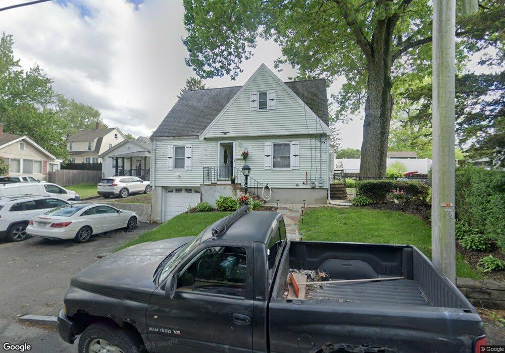
477 Walnut St Saugus, MA 01906
Lynnhurst NeighborhoodEstimated Value: $609,356 - $657,000
About This Home
This home is located at 477 Walnut St, Saugus, MA 01906 and is currently estimated at $624,339, approximately $434 per square foot. 477 Walnut St is a home located in Essex County with nearby schools including Saugus High School and Pioneer Charter School Of Science II.
Ownership History
We collect this data history from publicly available records. To have your information removed, we recommend requesting removal directly through your county’s website.
Purchase Details
Home Values in the Area
Average Home Value in this Area
Purchase History
We collect this data history from publicly available records. To have your information removed, we recommend requesting removal directly through your county’s website.
| Date | Buyer | Sale Price | Title Company |
|---|---|---|---|
| $275,000 | -- |
Mortgage History
We collect this data history from publicly available records. To have your information removed, we recommend requesting removal directly through your county’s website.
| Date | Status | Borrower | Loan Amount |
|---|---|---|---|
| Open | $65,000 | ||
| Open | $231,100 | ||
| Closed | $258,000 | ||
| Closed | $255,000 | ||
| Previous Owner | $55,000 | ||
| Previous Owner | $25,000 |
Tax History
We collect this data history from publicly available records. To have your information removed, we recommend requesting removal directly through your county’s website.
| Year | Tax Paid | Tax Assessment Tax Assessment Total Assessment is a certain percentage of the fair market value that is determined by local assessors to be the total taxable value of land and additions on the property. | Land | Improvement |
|---|---|---|---|---|
| 2025 | $5,464 | $511,600 | $285,700 | $225,900 |
| 2024 | $5,128 | $481,500 | $259,700 | $221,800 |
| 2023 | $5,010 | $444,900 | $233,700 | $211,200 |
| 2022 | $4,900 | $408,000 | $213,800 | $194,200 |
| 2021 | $4,607 | $373,300 | $186,100 | $187,200 |
| 2020 | $4,259 | $357,300 | $177,500 | $179,800 |
| 2019 | $4,075 | $334,600 | $160,100 | $174,500 |
| 2018 | $3,670 | $316,900 | $155,800 | $161,100 |
| 2017 | $3,417 | $283,600 | $145,400 | $138,200 |
| 2016 | $3,627 | $297,300 | $138,500 | $158,800 |
| 2015 | $3,404 | $283,200 | $131,900 | $151,300 |
| 2014 | $3,325 | $286,400 | $131,900 | $154,500 |
Map
- 479 Walnut St
- 475 Walnut St
- 481 Walnut St
- 483 Walnut St
- 5 Oakcrest St
- 12 Fairmount Ave
- 18 Fairmount Ave
- 469 Walnut St Unit 1
- 469 Walnut St Unit 471
- 20 Fairmount Ave
- 7 Oakcrest St
- 487 Walnut St
- 15 Fairmount Ave
- 11 Oakcrest St
- 8 Oakcrest St
- 5 Fairmount Ave
- 10 Fairchild Ave
- 3 Sterling Ave
- 10 Oakcrest St
- 491 Walnut St
Ask me questions while you tour the home.