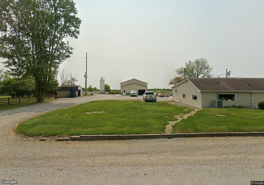
4770 W Us Highway 20 Lagrange, IN 46761
Estimated Value: $321,000 - $426,000
3
Beds
4
Baths
1,864
Sq Ft
$194/Sq Ft
Est. Value
About This Home
This home is located at 4770 W Us Highway 20, Lagrange, IN 46761 and is currently estimated at $361,462, approximately $193 per square foot. 4770 W Us Highway 20 is a home located in LaGrange County with nearby schools including Shipshewana-Scott Elementary School, Westview Elementary School, and Westview Junior/Senior High School.
Ownership History
Date
Name
Owned For
Owner Type
Purchase Details
Closed on
Jul 29, 2022
Sold by
Spade Herbert D
Bought by
Schwartz Menno E and Schwartz Carol R
Current Estimated Value
Home Financials for this Owner
Home Financials are based on the most recent Mortgage that was taken out on this home.
Original Mortgage
$144,000
Outstanding Balance
$137,649
Interest Rate
5.49%
Mortgage Type
New Conventional
Estimated Equity
$223,813
Create a Home Valuation Report for This Property
The Home Valuation Report is an in-depth analysis detailing your home's value as well as a comparison with similar homes in the area
Home Values in the Area
Average Home Value in this Area
Purchase History
| Date | Buyer | Sale Price | Title Company |
|---|---|---|---|
| Schwartz Menno E | $180,000 | New Title Company Name |
Source: Public Records
Mortgage History
| Date | Status | Borrower | Loan Amount |
|---|---|---|---|
| Open | Schwartz Menno E | $144,000 |
Source: Public Records
Tax History Compared to Growth
Tax History
| Year | Tax Paid | Tax Assessment Tax Assessment Total Assessment is a certain percentage of the fair market value that is determined by local assessors to be the total taxable value of land and additions on the property. | Land | Improvement |
|---|---|---|---|---|
| 2024 | $1,719 | $332,700 | $30,600 | $302,100 |
| 2023 | $1,032 | $226,600 | $31,600 | $195,000 |
| 2022 | $1,029 | $213,000 | $27,500 | $185,500 |
| 2021 | $903 | $179,000 | $25,000 | $154,000 |
| 2020 | $881 | $175,000 | $25,000 | $150,000 |
| 2019 | $864 | $173,000 | $25,000 | $148,000 |
| 2018 | $776 | $158,100 | $25,000 | $133,100 |
| 2017 | $817 | $165,800 | $24,000 | $141,800 |
| 2016 | $738 | $154,400 | $18,800 | $135,600 |
| 2014 | $549 | $119,000 | $18,800 | $100,200 |
| 2013 | $549 | $120,000 | $18,800 | $101,200 |
Source: Public Records
Map
Nearby Homes
- 1575 W 195 N
- 7260 W 350 N
- 365 Country Ln
- 7820 W 350 N
- 0 Corner of Factory St & Townline Rd Unit 202541800
- 217 N Sherman St
- 915 N 015 E
- 245 E 100 S
- 914 S Detroit St
- 207 S Poplar St
- 737 N Canal St
- 5145 N 290 W
- 306 N 100 E
- 4720 N State Road 5
- 3295 N 980 W
- 2930 N 080 E
- 1895 W 570 N
- 1770 W 570 N
- 310 Todd St
- 522 N Main St
- 4755 W Us Highway 20
- 4820 W Us Highway 20
- 4690 W Us Highway 20
- 4705 W Us Highway 20
- 4870 W Us Highway 20
- 55 S 500 W
- 55 S 500 W
- 4545 W Us Highway 20
- 0 S 500e Royer Lake
- 0 E 500e Royer Lake
- 00 S 500 E Royer Lake
- 5015 W Us Highway 20
- 30 S 500 W
- 220 N 450 W
- 5190 W Us Highway 20
- 360 N 450 W
- 4240 W Us Highway 20
- 4245 W Us Highway 20
- 470 N 450 W
- 4200 W Us Highway 20