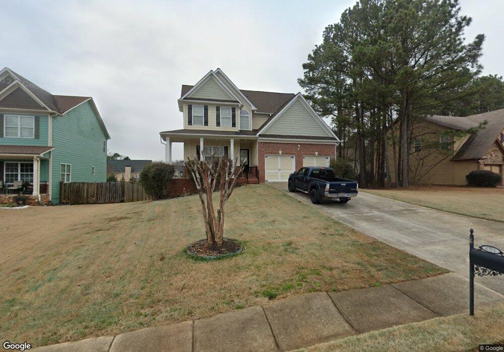
4771 Pauline Rd Douglasville, GA 30135
Bill Arp NeighborhoodEstimated Value: $380,310 - $424,000
4
Beds
3
Baths
2,842
Sq Ft
$142/Sq Ft
Est. Value
About This Home
This home is located at 4771 Pauline Rd, Douglasville, GA 30135 and is currently estimated at $403,328, approximately $141 per square foot. 4771 Pauline Rd is a home located in Douglas County with nearby schools including Bill Arp Elementary School, Yeager Middle School, and Alexander High School.
Ownership History
Date
Name
Owned For
Owner Type
Purchase Details
Closed on
Mar 7, 2016
Sold by
Guzman Sara
Bought by
Juarez Sara
Current Estimated Value
Purchase Details
Closed on
Jan 22, 2007
Sold by
Mason Ridge Builders Inc
Bought by
Guzman Sara
Purchase Details
Closed on
Mar 22, 2006
Sold by
Goldtree Properties Inc
Bought by
Mason Ridge Builders Inc
Create a Home Valuation Report for This Property
The Home Valuation Report is an in-depth analysis detailing your home's value as well as a comparison with similar homes in the area
Home Values in the Area
Average Home Value in this Area
Purchase History
| Date | Buyer | Sale Price | Title Company |
|---|---|---|---|
| Juarez Sara | -- | -- | |
| Guzman Sara | $217,500 | -- | |
| Mason Ridge Builders Inc | $570,000 | -- |
Source: Public Records
Tax History Compared to Growth
Tax History
| Year | Tax Paid | Tax Assessment Tax Assessment Total Assessment is a certain percentage of the fair market value that is determined by local assessors to be the total taxable value of land and additions on the property. | Land | Improvement |
|---|---|---|---|---|
| 2024 | $770 | $155,920 | $21,600 | $134,320 |
| 2023 | $770 | $137,400 | $13,600 | $123,800 |
| 2022 | $799 | $137,400 | $13,600 | $123,800 |
| 2021 | $799 | $111,520 | $12,360 | $99,160 |
| 2020 | $792 | $111,520 | $12,360 | $99,160 |
| 2019 | $653 | $108,720 | $12,360 | $96,360 |
| 2018 | $653 | $105,840 | $12,360 | $93,480 |
| 2017 | $685 | $93,640 | $12,360 | $81,280 |
| 2016 | $714 | $73,720 | $10,040 | $63,680 |
| 2015 | $2,180 | $64,440 | $10,040 | $54,400 |
| 2014 | $2,068 | $59,880 | $10,040 | $49,840 |
| 2013 | -- | $60,440 | $10,200 | $50,240 |
Source: Public Records
Map
Nearby Homes
- 0 Dorsett Shoals Rd Unit 20170850
- 0 Dorsett Shoals Rd Unit 7336228
- 6797 Greenoak Dr
- 6851 Alexander Pkwy
- 6755 Alexander Pkwy
- 6883 Lakeshore Dr
- 6867 Laurelwood Dr
- 4450 Poplar Ct Unit 3
- 4430 Poplar Ct
- 6560 Chickasaw Dr
- 3949 Georgia 5
- 7131 Banks Mill Rd
- 0 Big a Rd Unit 20169908
- 7215 Colony Ln
- 6590 Manor Creek Dr
- 6441 Michell Way
- 7212 Milam Rd
- 4619 S Seminole Dr
- 6374 Dorsett Shoals Rd
- 4781 Pauline Rd
- 4761 Pauline Rd
- 6797 Mason Creek Rd
- 4791 Pauline Rd
- 4671 Mason Ct
- 0 Pauline Rd Unit 7032517
- 0 Pauline Rd Unit 8897718
- 0 Pauline Rd Unit 8514761
- 0 Pauline Rd Unit 7641312
- 0 Pauline Rd Unit 7639467
- 0 Pauline Rd Unit 7540563
- 0 Pauline Rd Unit 7458842
- 0 Pauline Rd
- 4770 Pauline Rd
- 6807 Mason Creek Rd
- 6807 Mason Creek Rd
- 4661 Mason Ct
- 4675 Mason Ct
- 4801 Pauline Rd
- 4681 Mason Ct