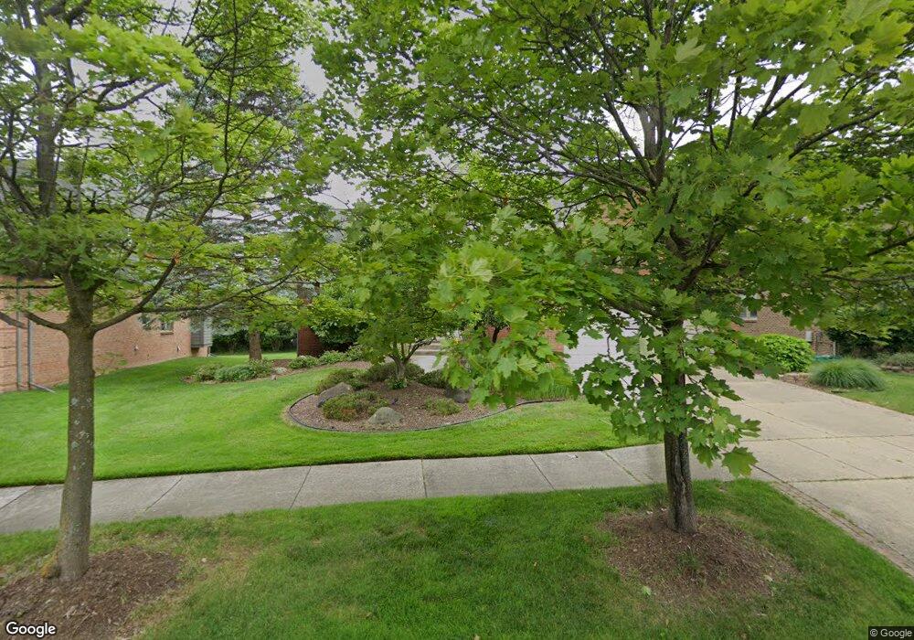
4771 Walnut Creek Cir West Bloomfield, MI 48322
Estimated Value: $582,000 - $600,000
4
Beds
3
Baths
2,898
Sq Ft
$204/Sq Ft
Est. Value
About This Home
This home is located at 4771 Walnut Creek Cir, West Bloomfield, MI 48322 and is currently estimated at $590,750, approximately $203 per square foot. 4771 Walnut Creek Cir is a home located in Oakland County with nearby schools including Sheiko Elementary School, West Bloomfield Middle School, and Bloomfield Maples Montessori.
Ownership History
Date
Name
Owned For
Owner Type
Purchase Details
Closed on
Aug 11, 2025
Sold by
Kovsky Anne and Berris Anne
Bought by
Shammas Brian and Shammas Chantal
Current Estimated Value
Home Financials for this Owner
Home Financials are based on the most recent Mortgage that was taken out on this home.
Original Mortgage
$396,000
Outstanding Balance
$395,654
Interest Rate
6.67%
Mortgage Type
New Conventional
Estimated Equity
$195,096
Purchase Details
Closed on
Sep 11, 1997
Sold by
Barris David J
Bought by
Berris David J
Home Financials for this Owner
Home Financials are based on the most recent Mortgage that was taken out on this home.
Original Mortgage
$205,000
Interest Rate
7.7%
Purchase Details
Closed on
Aug 29, 1996
Sold by
Selective Maple Creek In
Bought by
Berris David J
Create a Home Valuation Report for This Property
The Home Valuation Report is an in-depth analysis detailing your home's value as well as a comparison with similar homes in the area
Home Values in the Area
Average Home Value in this Area
Purchase History
| Date | Buyer | Sale Price | Title Company |
|---|---|---|---|
| Shammas Brian | $585,000 | None Listed On Document | |
| Berris David J | -- | -- | |
| Berris David J | -- | -- |
Source: Public Records
Mortgage History
| Date | Status | Borrower | Loan Amount |
|---|---|---|---|
| Open | Shammas Brian | $396,000 | |
| Previous Owner | Berris David J | $205,000 |
Source: Public Records
Tax History Compared to Growth
Tax History
| Year | Tax Paid | Tax Assessment Tax Assessment Total Assessment is a certain percentage of the fair market value that is determined by local assessors to be the total taxable value of land and additions on the property. | Land | Improvement |
|---|---|---|---|---|
| 2024 | $4,445 | $237,790 | $0 | $0 |
| 2022 | $4,256 | $198,440 | $13,250 | $185,190 |
| 2021 | $6,470 | $205,290 | $0 | $0 |
| 2020 | $4,171 | $178,900 | $13,250 | $165,650 |
| 2018 | $6,236 | $172,220 | $13,250 | $158,970 |
| 2015 | -- | $165,520 | $0 | $0 |
| 2014 | -- | $151,550 | $0 | $0 |
| 2011 | -- | $144,880 | $0 | $0 |
Source: Public Records
Map
Nearby Homes
- 6121 Westbrooke Dr Unit 7
- 6607 Westbrooke Ct
- 23617 Trailview Dr Unit 29
- 23601 Trailview Dr Unit 37
- 6323 Potomac Cir Unit 22
- 5106 Rock Run
- 5216 Brett Ct Unit 53
- 6906 Pebblecreek Woods Dr
- 6904 Pebble Park Cir
- 6614 Embers Ct
- 6621 Bellows Ct Unit 62
- 6651 Hearthside Ct Unit 1
- 6067 Charles Dr
- 5353 Wright Way W
- 6684 Stonebridge E
- 7118 Pebble Park Dr
- 5015 Langlewood Dr
- 4161 Breckenridge Dr
- 6783 Burtonwood Dr
- 5023 Meadowbrook Dr
- 4767 Walnut Creek Cir
- 4775 Walnut Creek Cir Unit 101
- 4763 Walnut Creek Cir Unit 104
- 4783 Walnut Creek Cir
- 4768 Walnut Creek Cir
- 4760 Walnut Creek Cir Unit 117
- 4776 Walnut Creek Cir
- 4759 Walnut Creek Cir
- 4789 Walnut Creek Cir
- 4752 Walnut Creek Cir
- 4793 Walnut Creek Dr
- 4755 Walnut Creek Cir
- 4795 Walnut Creek Cir
- 4967 Walnut Creek Dr
- 4744 Walnut Creek Cir
- 4981 Walnut Creek Dr Unit 93
- 4781 Walnut Creek Dr
- 4953 Walnut Creek Dr
- 4769 Walnut Creek Dr
- 4751 Walnut Creek Cir Unit 107