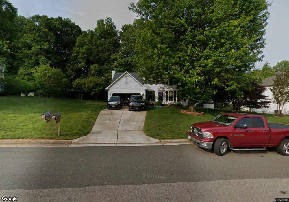
4772 Pearson Dr Woodbridge, VA 22193
Lindendale NeighborhoodEstimated Value: $564,000 - $667,000
4
Beds
4
Baths
2,180
Sq Ft
$285/Sq Ft
Est. Value
About This Home
This home is located at 4772 Pearson Dr, Woodbridge, VA 22193 and is currently estimated at $621,827, approximately $285 per square foot. 4772 Pearson Dr is a home located in Prince William County with nearby schools including Enterprise Elementary School, C.D. Hylton High School, and Stuart M. Beville Middle School.
Ownership History
Date
Name
Owned For
Owner Type
Purchase Details
Closed on
Dec 20, 1996
Sold by
Washington Homes Inc Of Va
Bought by
Wood Keith M and Wood Thomasa E
Current Estimated Value
Home Financials for this Owner
Home Financials are based on the most recent Mortgage that was taken out on this home.
Original Mortgage
$169,100
Outstanding Balance
$17,065
Interest Rate
7.62%
Mortgage Type
New Conventional
Estimated Equity
$604,762
Create a Home Valuation Report for This Property
The Home Valuation Report is an in-depth analysis detailing your home's value as well as a comparison with similar homes in the area
Home Values in the Area
Average Home Value in this Area
Purchase History
| Date | Buyer | Sale Price | Title Company |
|---|---|---|---|
| Wood Keith M | $178,000 | -- |
Source: Public Records
Mortgage History
| Date | Status | Borrower | Loan Amount |
|---|---|---|---|
| Open | Wood Keith M | $169,100 |
Source: Public Records
Tax History
| Year | Tax Paid | Tax Assessment Tax Assessment Total Assessment is a certain percentage of the fair market value that is determined by local assessors to be the total taxable value of land and additions on the property. | Land | Improvement |
|---|---|---|---|---|
| 2025 | $5,797 | $595,300 | $238,700 | $356,600 |
| 2024 | $5,797 | $582,900 | $234,000 | $348,900 |
| 2023 | $5,699 | $547,700 | $218,700 | $329,000 |
| 2022 | $5,649 | $499,800 | $198,800 | $301,000 |
| 2021 | $5,072 | $414,400 | $164,300 | $250,100 |
| 2020 | $6,485 | $418,400 | $161,000 | $257,400 |
| 2019 | $6,237 | $402,400 | $156,300 | $246,100 |
| 2018 | $4,733 | $392,000 | $150,400 | $241,600 |
| 2017 | $4,642 | $375,600 | $143,200 | $232,400 |
| 2016 | $4,764 | $389,500 | $147,500 | $242,000 |
| 2015 | $4,404 | $360,600 | $136,100 | $224,500 |
| 2014 | $4,404 | $351,800 | $132,200 | $219,600 |
Source: Public Records
Map
Nearby Homes
- 14212 Savannah Dr
- 4807 Korvett Dr
- 4802 Korvett Dr
- 4703 Hersand Ct
- 13860 Langstone Dr
- 14435 Delaney Rd
- 5242 Midway Ct
- 13509 Delaney Rd
- 4612 Charlton Ct
- 13790 Musket Ct
- 4518 Dale Blvd
- 4667 Charlton Ct
- 4812 Kentbury Ct
- 4612 Central Park Dr
- 4807 Kellogg Dr
- 5362 Mansfield Ct
- 5366 Mansfield Ct
- 4774 Dane Ridge Cir
- 4847 Dane Ridge Cir Unit 87
- 13475 Keytone Rd
- 4776 Pearson Dr
- 4768 Pearson Dr
- 4764 Pearson Dr
- 4775 Pearson Dr
- 4780 Pearson Dr
- 4771 Pearson Dr
- 13901 Mipalsal Ct
- 4756 Pearson Dr
- 4760 Pearson Dr
- 13905 Mipalsal Ct
- 4767 Pearson Dr
- 4788 Pearson Dr
- 4784 Pearson Dr
- 4846 Langer Ln
- 4759 Pearson Dr
- 13909 Mipalsal Ct
- 4752 Pearson Dr
- 13900 Mipalsal Ct
- 4748 Pearson Dr
- 4763 Pearson Dr
Your Personal Tour Guide
Ask me questions while you tour the home.