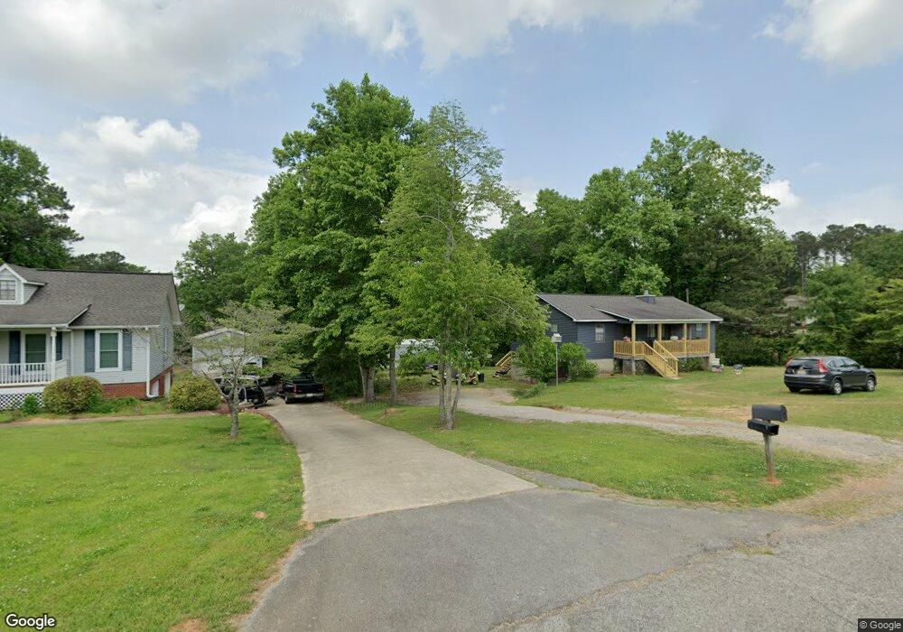
4773 Bob Brill Rd Bessemer, AL 35022
Estimated Value: $283,814 - $367,000
3
Beds
3
Baths
1,400
Sq Ft
$224/Sq Ft
Est. Value
About This Home
This home is located at 4773 Bob Brill Rd, Bessemer, AL 35022 and is currently estimated at $313,454, approximately $223 per square foot. 4773 Bob Brill Rd is a home located in Jefferson County with nearby schools including Mcadory Middle School and Mcadory High School.
Ownership History
Date
Name
Owned For
Owner Type
Purchase Details
Closed on
Nov 10, 2017
Sold by
Carlee Nancy Karen
Bought by
Woodson Larry S and Woodson Priscilla
Current Estimated Value
Home Financials for this Owner
Home Financials are based on the most recent Mortgage that was taken out on this home.
Original Mortgage
$209,000
Outstanding Balance
$175,409
Interest Rate
3.91%
Mortgage Type
New Conventional
Estimated Equity
$138,045
Purchase Details
Closed on
May 6, 1998
Sold by
Robinson Rhonda L
Bought by
Carlee Jackie P and Carlee Nancy Karen
Create a Home Valuation Report for This Property
The Home Valuation Report is an in-depth analysis detailing your home's value as well as a comparison with similar homes in the area
Home Values in the Area
Average Home Value in this Area
Purchase History
| Date | Buyer | Sale Price | Title Company |
|---|---|---|---|
| Woodson Larry S | $221,000 | -- | |
| Carlee Jackie P | $30,000 | -- |
Source: Public Records
Mortgage History
| Date | Status | Borrower | Loan Amount |
|---|---|---|---|
| Open | Woodson Larry S | $209,000 |
Source: Public Records
Tax History Compared to Growth
Tax History
| Year | Tax Paid | Tax Assessment Tax Assessment Total Assessment is a certain percentage of the fair market value that is determined by local assessors to be the total taxable value of land and additions on the property. | Land | Improvement |
|---|---|---|---|---|
| 2024 | $1,053 | $24,140 | -- | -- |
| 2022 | $984 | $19,750 | $1,560 | $18,190 |
| 2021 | $844 | $16,840 | $1,560 | $15,280 |
| 2020 | $1,017 | $15,610 | $1,560 | $14,050 |
| 2019 | $783 | $15,620 | $0 | $0 |
| 2018 | $626 | $14,980 | $0 | $0 |
| 2017 | $225 | $14,980 | $0 | $0 |
| 2016 | $698 | $14,980 | $0 | $0 |
| 2015 | -- | $14,980 | $0 | $0 |
| 2014 | $604 | $12,060 | $0 | $0 |
| 2013 | $604 | $12,060 | $0 | $0 |
Source: Public Records
Map
Nearby Homes
- 7865 Bluff Ridge Rd
- 5017 Creek Bluff Cir Unit 9
- 5991 Fletcher Rd Unit 5
- 5990 Fletcher Rd
- 4841 Monroe Dr
- 4485 Eaglewood Dr Unit 1.002
- 0 War Eagle Dr Unit 23479787
- 0 War Eagle Dr Unit 1 21415556
- 0 War Eagle Dr Unit 2 21398996
- 0 War Eagle Dr Unit 1 21398989
- 4550 Newbold Rd
- 4190 Brill Dr Unit 10.34
- 5395 Fletcher Rd
- 7538 Colonial Trace Cir Unit 9
- 7542 Colonial Trace Cir Unit 10
- 7546 Colonial Trace Cir Unit 11
- 7769 Indian Gap Trail Unit 20
- 7550 Colonial Trace Cir Unit 12
- 5497 Fletcher Rd
- 7554 Colonial Trace Cir Unit 13
- 4775 Bob Brill Rd
- 4763 Bob Brill Rd
- 4821 Bob Brill Rd
- 4757 Bob Brill Rd
- 4743 Bob Brill Rd Unit 3 AC
- 4743 Bob Brill Rd Unit 1
- 4755 Bob Brill Rd
- 4721 Bob Brill Rd
- 4772 Bob Brill Rd
- 4730 Bob Brill Rd
- 4872 Bob Brill Rd
- 4718 Bob Brill Rd
- 4682 Bob Brill Rd
- 4700 Bob Brill Rd
- 4826 Bob Brill Rd
- 4875 Bob Brill Rd
- 4880 Bob Brill Rd
- 4681 Bob Brill Rd
- 4921 Bob Brill Rd
- 4613 Bob Brill Rd