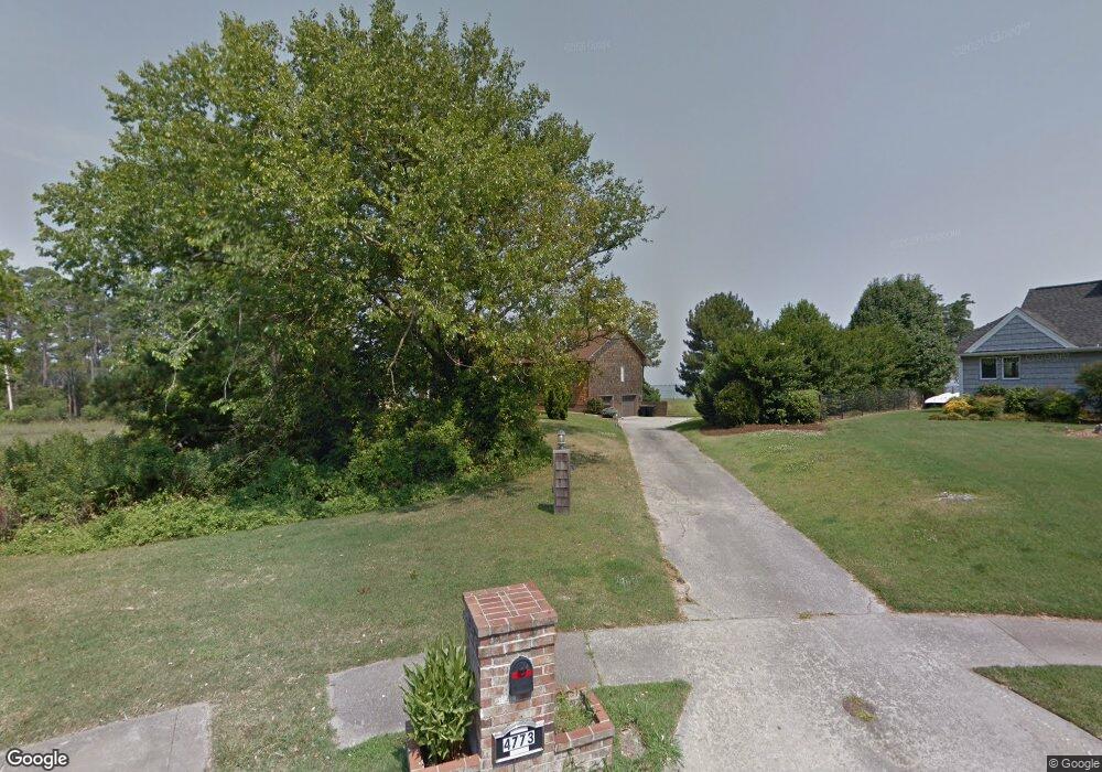
4773 River Shore Rd Portsmouth, VA 23703
Churchland NeighborhoodEstimated Value: $693,000 - $901,949
--
Bed
--
Bath
3,493
Sq Ft
$221/Sq Ft
Est. Value
About This Home
This home is located at 4773 River Shore Rd, Portsmouth, VA 23703 and is currently estimated at $770,983, approximately $220 per square foot. 4773 River Shore Rd is a home located in Portsmouth City with nearby schools including Churchland Primary/Intermediate School, Churchland Middle School, and Churchland High School.
Ownership History
Date
Name
Owned For
Owner Type
Purchase Details
Closed on
Sep 23, 2010
Sold by
Joseph George B
Bought by
Gardner William R
Current Estimated Value
Home Financials for this Owner
Home Financials are based on the most recent Mortgage that was taken out on this home.
Original Mortgage
$395,000
Outstanding Balance
$260,339
Interest Rate
4.48%
Mortgage Type
New Conventional
Estimated Equity
$510,644
Create a Home Valuation Report for This Property
The Home Valuation Report is an in-depth analysis detailing your home's value as well as a comparison with similar homes in the area
Home Values in the Area
Average Home Value in this Area
Purchase History
| Date | Buyer | Sale Price | Title Company |
|---|---|---|---|
| Gardner William R | $495,000 | -- |
Source: Public Records
Mortgage History
| Date | Status | Borrower | Loan Amount |
|---|---|---|---|
| Open | Gardner William R | $395,000 |
Source: Public Records
Tax History Compared to Growth
Tax History
| Year | Tax Paid | Tax Assessment Tax Assessment Total Assessment is a certain percentage of the fair market value that is determined by local assessors to be the total taxable value of land and additions on the property. | Land | Improvement |
|---|---|---|---|---|
| 2025 | $9,006 | $721,290 | $374,750 | $346,540 |
| 2024 | $9,006 | $718,290 | $374,750 | $343,540 |
| 2023 | $8,679 | $694,330 | $374,750 | $319,580 |
| 2022 | $9,266 | $712,770 | $372,220 | $340,550 |
| 2021 | $9,250 | $711,500 | $388,930 | $322,570 |
| 2020 | $9,009 | $692,980 | $370,410 | $322,570 |
| 2019 | $8,931 | $686,990 | $370,410 | $316,580 |
| 2018 | $8,544 | $657,240 | $370,410 | $286,830 |
| 2017 | $8,544 | $657,240 | $370,410 | $286,830 |
| 2016 | $8,544 | $657,240 | $370,410 | $286,830 |
| 2015 | $8,522 | $655,550 | $370,410 | $285,140 |
| 2014 | $8,325 | $655,550 | $370,410 | $285,140 |
Source: Public Records
Map
Nearby Homes
- 6602 James Point Ct
- 6750 Burbage Landing Cir
- 5028 Bay Cir
- 4726 River Shore Rd
- 6832 Ivanhoe Ct
- 5109 Hoffler St
- 4619 River Shore Rd
- 21 Windy Pines Crescent
- 4071 Long Point Blvd
- 4444 Southampton Arch
- 6446 Olde Bullocks Cir
- 8 Compass Ct
- 6417 Pelican Crescent N
- 17 Shoal Ct
- 5833 Hawthorne Ln
- 5728 Hawthorne Ln
- 6205 Glenrose Dr
- 4100 Mayfair Way
- 4224 Burnham Dr
- 6215 Cambridge Dr
- 4769 River Shore Rd
- 4765 River Shore Rd
- 4764 River Shore Rd
- 4762 River Shore Rd
- 4761 River Shore Rd
- 4760 River Shore Rd
- 4757 River Shore Rd
- 4758 River Shore Rd
- 4756 River Shore Rd
- 4753 River Shore Rd
- 4754 River Shore Rd
- 4752 River Shore Rd
- 4749 River Shore Rd
- 4750 River Shore Rd
- 4748 River Shore Rd
- 4745 River Shore Rd
- 4744 River Shore Rd
- 4743 River Shore Rd
- 6772 Burbage Landing Cir
- 6764 Burbage Landing Cir