4777 Bandy Rd Roanoke, VA 24014
Estimated Value: $421,000 - $805,000
3
Beds
2
Baths
1,896
Sq Ft
$339/Sq Ft
Est. Value
About This Home
This home is located at 4777 Bandy Rd, Roanoke, VA 24014 and is currently estimated at $642,660, approximately $338 per square foot. 4777 Bandy Rd is a home located in Roanoke County with nearby schools including Mt. Pleasant Elementary School, William Byrd Middle School, and William Byrd High School.
Ownership History
Date
Name
Owned For
Owner Type
Purchase Details
Closed on
Jan 19, 2018
Sold by
Hurt William A and Hurt Doris B
Bought by
Hurt William A and Hurt Doris B
Current Estimated Value
Purchase Details
Closed on
Apr 15, 2008
Sold by
Sarver Jacqueline Y and Estate Of Kathleen M Young
Bought by
Hurt William A
Purchase Details
Closed on
Feb 8, 2006
Sold by
Young Hazel L
Bought by
Hurt William A
Purchase Details
Closed on
Feb 6, 2006
Sold by
Young H Kenenth
Bought by
Hurt William A
Create a Home Valuation Report for This Property
The Home Valuation Report is an in-depth analysis detailing your home's value as well as a comparison with similar homes in the area
Home Values in the Area
Average Home Value in this Area
Purchase History
| Date | Buyer | Sale Price | Title Company |
|---|---|---|---|
| Hurt William A | -- | None Available | |
| Hurt William A | $33,571 | Land America Title | |
| Hurt William A | $33,571 | None Available | |
| Hurt William A | -- | None Available | |
| Hurt William A | -- | None Available |
Source: Public Records
Tax History Compared to Growth
Tax History
| Year | Tax Paid | Tax Assessment Tax Assessment Total Assessment is a certain percentage of the fair market value that is determined by local assessors to be the total taxable value of land and additions on the property. | Land | Improvement |
|---|---|---|---|---|
| 2025 | $5,075 | $492,700 | $358,200 | $134,500 |
| 2024 | $5,001 | $480,900 | $358,200 | $122,700 |
| 2023 | $1,713 | $463,600 | $355,000 | $108,600 |
| 2022 | $1,614 | $450,100 | $352,600 | $97,500 |
| 2021 | $1,429 | $433,100 | $345,000 | $88,100 |
| 2020 | $1,430 | $433,200 | $345,000 | $88,200 |
| 2019 | $1,408 | $431,200 | $345,000 | $86,200 |
| 2018 | $1,396 | $430,200 | $345,000 | $85,200 |
| 2017 | $1,396 | $430,100 | $345,000 | $85,100 |
| 2016 | $1,385 | $429,100 | $345,000 | $84,100 |
| 2015 | $1,396 | $430,100 | $345,000 | $85,100 |
| 2014 | $1,391 | $429,600 | $345,000 | $84,600 |
Source: Public Records
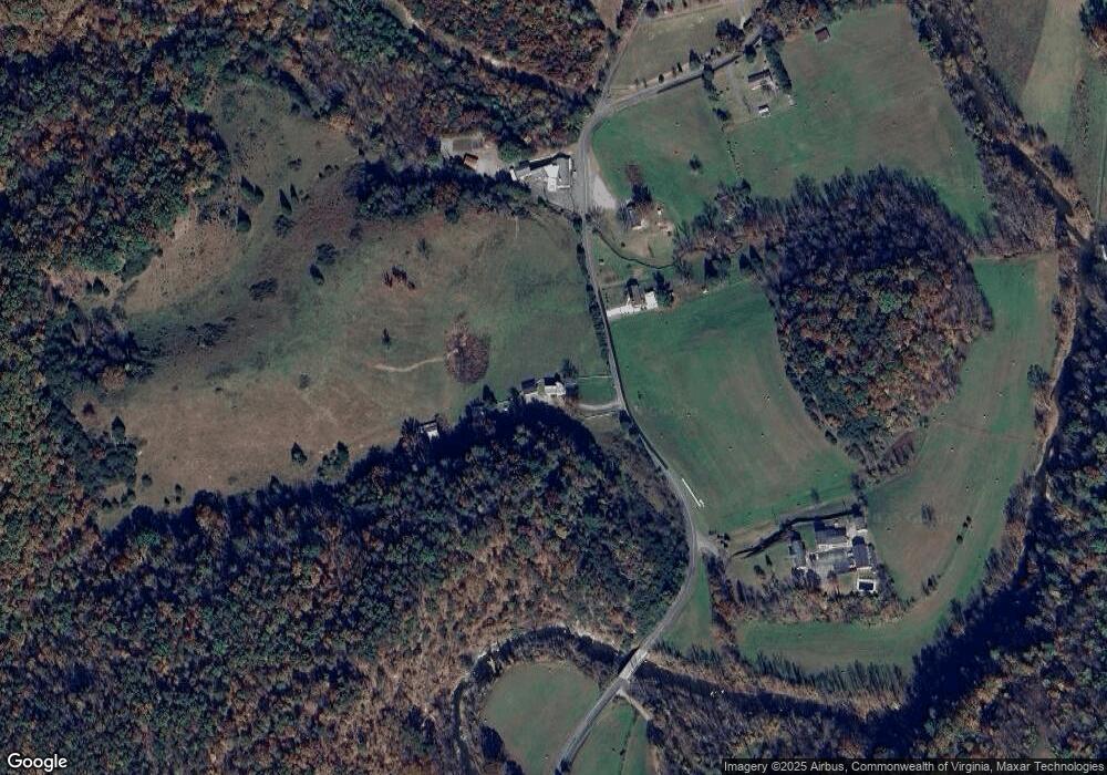
Map
Nearby Homes
- 5122 Old Virginia Springs Rd
- 0 Mayland Rd
- 0 Tall Pine Ln
- 965 Vista Pkwy
- 4515 Yellow Mountain Rd
- 1020 Overlook Pkwy
- 5565 Carons View Ln
- 8995 Jubal Early Hwy
- 4401 Yellow Mountain Rd
- 0 Crowell Gap Rd Unit LotWP001 21177269
- 30 Boulder Point Dr
- 5507 Franklin Rd
- 1631 Eanes Rd
- 5403 Clearbrook Ln
- 6177 Back Creek Rd
- 3523 Bandy Rd
- 3855 Saul Ln
- 3709 Garden City Blvd SE
- 1701 Mayfield Dr
- 533 Coopers Cove Rd
- 4758 Bandy Rd
- 4736 Bandy Rd
- 4725 Bandy Rd
- 4814 Bandy Rd Unit 11
- 4814 Bandy Rd Unit 8
- 4814 Bandy Rd Unit 6
- 4814 Bandy Rd Unit 9
- 4814 Bandy Rd Unit 5
- 4814 Bandy Rd
- 4686 Bandy Rd
- 4721 Bandy Rd
- 4625 Bandy Rd
- 4635 Bandy Rd
- 4619 Bandy Rd
- 4645 Bandy Rd
- 4615 Bandy Rd
- 4618 Bandy Rd
- 4581 Bandy Rd
- 5039 Bandy Rd