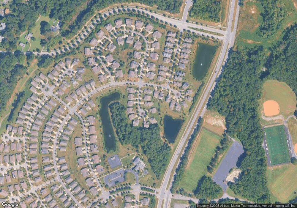
4778 Desert Rose Ct White Plains, MD 20695
Estimated Value: $514,000 - $552,000
4
Beds
3
Baths
2,996
Sq Ft
$177/Sq Ft
Est. Value
About This Home
This home is located at 4778 Desert Rose Ct, White Plains, MD 20695 and is currently estimated at $531,305, approximately $177 per square foot. 4778 Desert Rose Ct is a home located in Charles County with nearby schools including Mary B. Neal Elementary School, Milton M. Somers Middle School, and St. Charles High School.
Ownership History
Date
Name
Owned For
Owner Type
Purchase Details
Closed on
Aug 10, 2010
Sold by
Brown Raymond C and Brown Bonnie S
Bought by
Powers Michael F and Powers Carol A
Current Estimated Value
Purchase Details
Closed on
May 9, 2007
Sold by
Us Home Corporation
Bought by
Brown Raymond C and Brown Bonnie S
Home Financials for this Owner
Home Financials are based on the most recent Mortgage that was taken out on this home.
Original Mortgage
$237,000
Interest Rate
6.21%
Mortgage Type
Purchase Money Mortgage
Purchase Details
Closed on
Apr 27, 2007
Sold by
Us Home Corporation
Bought by
Brown Raymond C and Brown Bonnie S
Home Financials for this Owner
Home Financials are based on the most recent Mortgage that was taken out on this home.
Original Mortgage
$237,000
Interest Rate
6.21%
Mortgage Type
Purchase Money Mortgage
Create a Home Valuation Report for This Property
The Home Valuation Report is an in-depth analysis detailing your home's value as well as a comparison with similar homes in the area
Home Values in the Area
Average Home Value in this Area
Purchase History
| Date | Buyer | Sale Price | Title Company |
|---|---|---|---|
| Powers Michael F | $350,000 | -- | |
| Brown Raymond C | $377,990 | -- | |
| Brown Raymond C | $377,990 | -- |
Source: Public Records
Mortgage History
| Date | Status | Borrower | Loan Amount |
|---|---|---|---|
| Previous Owner | Brown Raymond C | $237,000 | |
| Previous Owner | Brown Raymond C | $237,000 |
Source: Public Records
Tax History Compared to Growth
Tax History
| Year | Tax Paid | Tax Assessment Tax Assessment Total Assessment is a certain percentage of the fair market value that is determined by local assessors to be the total taxable value of land and additions on the property. | Land | Improvement |
|---|---|---|---|---|
| 2025 | $12,765 | $430,700 | -- | -- |
| 2024 | $5,163 | $367,600 | $126,200 | $241,400 |
| 2023 | $5,187 | $362,967 | $0 | $0 |
| 2022 | $4,987 | $358,333 | $0 | $0 |
| 2021 | $4,737 | $353,700 | $96,200 | $257,500 |
| 2020 | $4,737 | $342,500 | $0 | $0 |
| 2019 | $4,575 | $331,300 | $0 | $0 |
| 2018 | $4,385 | $320,100 | $90,200 | $229,900 |
| 2017 | $4,377 | $320,100 | $0 | $0 |
| 2016 | -- | $320,100 | $0 | $0 |
| 2015 | $3,214 | $337,500 | $0 | $0 |
| 2014 | $3,214 | $313,800 | $0 | $0 |
Source: Public Records
Map
Nearby Homes
- 4909 Keswick Ct
- 10701 Millport St
- 4930 Shoal Creek Ln
- 11257 Yellowstone Ct
- 5096 Atlantis Ln
- 10918 Timothy Ct
- 4586 Scottsdale Place
- 6 Castletown Ct
- 4646 Scottsdale Place
- 4648 Scottsdale Place
- 610 University Dr
- 9 Wicklow Ct
- 5149 Atlantis Ln
- 712 University Dr
- 5165 Atlantis Ln
- 5084 Ottawa Park Place
- 5050 Royal Birkdale Ave
- 11771 Sunningdale Place
- 11150 Saint Christopher Dr
- 11839 Tower Hamlets Place
- 4782 Desert Rose Ct
- 4774 Desert Rose Ct
- 11052 Commanders Ln
- 4770 Desert Rose Ct
- 11048 Commanders Ln
- 4786 Desert Rose Ct
- 11044 Cambria Ct
- 4781 Desert Rose Ct
- 4785 Desert Rose Ct
- 4777 Desert Rose Ct
- 4790 Desert Rose Ct
- 4789 Desert Rose Ct
- 11040 Cambria Ct
- 4773 Desert Rose Ct
- 4793 Desert Rose Ct
- 4719 Diamond Ridge Ln
- 4769 Saint Brides St
- 11036 Cambria Ct
- 4715 Diamond Ridge Ln
- 4718 Diamond Ridge Ln
