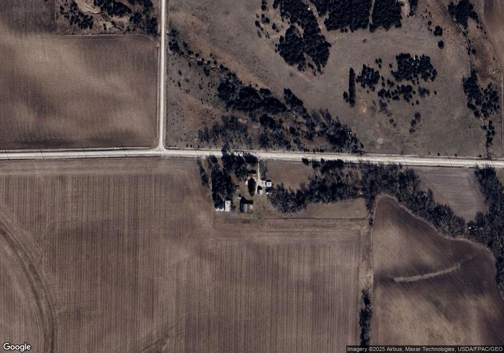
4778 Linn Buchanan Rd Walker, IA 52352
Estimated Value: $204,000 - $363,470
About This Home
This home is located at 4778 Linn Buchanan Rd, Walker, IA 52352 and is currently estimated at $278,157, approximately $200 per square foot. 4778 Linn Buchanan Rd is a home with nearby schools including North Linn Elementary School, North-Linn Middle School, and North-Linn Senior High School.
Ownership History
We collect this data history from publicly available records. To have your information removed, we recommend requesting removal directly through your county’s website.
Purchase Details
Purchase History
We collect this data history from publicly available records. To have your information removed, we recommend requesting removal directly through your county’s website.
| Date | Buyer | Sale Price | Title Company |
|---|---|---|---|
| -- | None Listed On Document |
Tax History
We collect this data history from publicly available records. To have your information removed, we recommend requesting removal directly through your county’s website.
| Year | Tax Paid | Tax Assessment Tax Assessment Total Assessment is a certain percentage of the fair market value that is determined by local assessors to be the total taxable value of land and additions on the property. | Land | Improvement |
|---|---|---|---|---|
| 2025 | $2,688 | $247,700 | $46,200 | $201,500 |
| 2024 | $2,530 | $228,300 | $38,100 | $190,200 |
| 2023 | $2,530 | $228,300 | $38,100 | $190,200 |
| 2022 | $2,508 | $173,600 | $30,600 | $143,000 |
| 2021 | $2,348 | $173,600 | $30,600 | $143,000 |
| 2020 | $2,348 | $162,400 | $30,500 | $131,900 |
| 2019 | $2,230 | $166,500 | $42,200 | $124,300 |
| 2018 | $2,248 | $166,500 | $42,200 | $124,300 |
| 2017 | $2,244 | $166,600 | $45,800 | $120,800 |
| 2016 | $2,369 | $166,600 | $45,800 | $120,800 |
| 2015 | $2,392 | $167,000 | $43,700 | $123,300 |
| 2014 | $2,208 | $167,000 | $43,700 | $123,300 |
| 2013 | $2,158 | $167,000 | $43,700 | $123,300 |
Map
- 3211 Nolen Ave
- 51st St Ln
- 14 Greene St
- 1952 330th St
- 5358 Hutton Dr
- 0 54th Street Trail
- 517 Oak St
- 4242 Ring Rd
- 410 W Main St Unit 1
- 140 Towne Centre Dr
- 122 Towne Centre Dr
- 410 South St
- 102 Richland Ave Unit 3
- 211 Brush Ave
- 106 Richland Ave
- 1114 Towne Centre Dr
- 105 Richland Ave
- 0 Stewart Ave
- 146 Towne Centre Dr
- 112 Shiloh Vista Ave
- 4702 Linn Buchanan Rd
- 2231 Benton Buchanan Rd
- 2321 Linn Buchanan Rd
- 3326 Michel Ave
- 0 Linn Buchanan Rd Unit 5609444
- 3321 Michel Ave
- 3319 Michel Ave
- 469 M/L Linn Buchanan Rd
- 3296 Linn Buchanan Rd
- 3369 Nolen Ave
- 5993 Moses Rd
- 2181 Benton Buchanan Rd
- 5941 Moses Rd
- 0 Moses Rd
- 3381 51st St
- 4717 Spencers Grove Rd
Ask me questions while you tour the home.