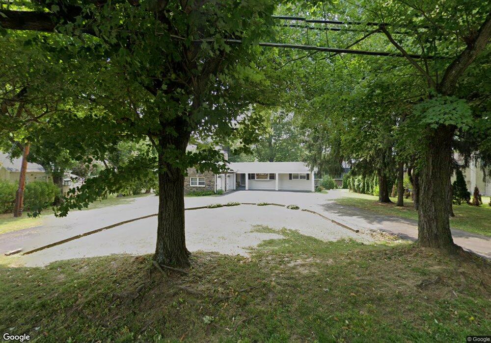
4779 Bensalem Blvd Bensalem, PA 19020
Estimated Value: $381,000 - $436,000
3
Beds
2
Baths
1,152
Sq Ft
$349/Sq Ft
Est. Value
About This Home
This home is located at 4779 Bensalem Blvd, Bensalem, PA 19020 and is currently estimated at $402,011, approximately $348 per square foot. 4779 Bensalem Blvd is a home located in Bucks County with nearby schools including School Lane Charter School, St. Ephrem School, and De La Salle Vocational School.
Ownership History
Date
Name
Owned For
Owner Type
Purchase Details
Closed on
Jun 16, 2008
Sold by
Pegram Marie E
Bought by
Ghias Aisha and Shah Ilyas M
Current Estimated Value
Home Financials for this Owner
Home Financials are based on the most recent Mortgage that was taken out on this home.
Original Mortgage
$167,200
Outstanding Balance
$107,730
Interest Rate
6.13%
Mortgage Type
Purchase Money Mortgage
Estimated Equity
$294,281
Purchase Details
Closed on
Dec 11, 2003
Sold by
Balkonis Joseph
Bought by
Balkonis Joseph and Pegram Marie E
Create a Home Valuation Report for This Property
The Home Valuation Report is an in-depth analysis detailing your home's value as well as a comparison with similar homes in the area
Home Values in the Area
Average Home Value in this Area
Purchase History
| Date | Buyer | Sale Price | Title Company |
|---|---|---|---|
| Ghias Aisha | $209,000 | None Available | |
| Balkonis Joseph | -- | -- |
Source: Public Records
Mortgage History
| Date | Status | Borrower | Loan Amount |
|---|---|---|---|
| Open | Ghias Aisha | $167,200 |
Source: Public Records
Tax History Compared to Growth
Tax History
| Year | Tax Paid | Tax Assessment Tax Assessment Total Assessment is a certain percentage of the fair market value that is determined by local assessors to be the total taxable value of land and additions on the property. | Land | Improvement |
|---|---|---|---|---|
| 2025 | $4,628 | $21,200 | $4,640 | $16,560 |
| 2024 | $4,628 | $21,200 | $4,640 | $16,560 |
| 2023 | $4,497 | $21,200 | $4,640 | $16,560 |
| 2022 | $4,471 | $21,200 | $4,640 | $16,560 |
| 2021 | $4,471 | $21,200 | $4,640 | $16,560 |
| 2020 | $4,426 | $21,200 | $4,640 | $16,560 |
| 2019 | $4,327 | $21,200 | $4,640 | $16,560 |
| 2018 | $4,227 | $21,200 | $4,640 | $16,560 |
| 2017 | $4,201 | $21,200 | $4,640 | $16,560 |
| 2016 | $4,201 | $21,200 | $4,640 | $16,560 |
| 2015 | -- | $21,200 | $4,640 | $16,560 |
| 2014 | -- | $21,200 | $4,640 | $16,560 |
Source: Public Records
Map
Nearby Homes
- 938 Ashton Rd
- 953 Farley Rd
- 1100 Wayland Ave
- 4783 Meeting Rd
- 580 S Mount Vernon Cir
- 446 N Mount Vernon Cir Unit 446
- 419 Rutgers Ct
- 393 Rutgers Ct Unit 393
- 435 N Mount Vernon Cir Unit 435
- 389 Rutgers Ct Unit 389
- 801 Cliff Rd
- 5110 Bay Rd
- 5107 Leeward Rd
- 5102 Lighthouse Ln
- 4744 Dunston Rd
- L:15 Dunston Rd
- 5217 Bay Rd
- 1440 Atterbury Way
- 0 Newportville Rd Unit PABU487252
- 906 Stephen Ave
- 989 Ashton Rd
- 973 Ashton Rd
- 4803 Bensalem Blvd
- 4760 Bensalem Blvd
- 4778 Bensalem Blvd
- 4786 Bensalem Blvd
- 4804 Bensalem Blvd
- 990 Ashton Rd
- 4823 Bensalem Blvd
- 959 Ashton Rd
- 4825 Bensalem Blvd
- 4814 Bensalem Blvd
- 1023 Harwood Rd
- 4737 Bensalem Blvd
- 945 Ashton Rd
- 4736 Bensalem Blvd
- 966 Ashton Rd
- 4832 Bensalem Blvd
- 1037 Harwood Rd
- 1036 Hawthorne Rd