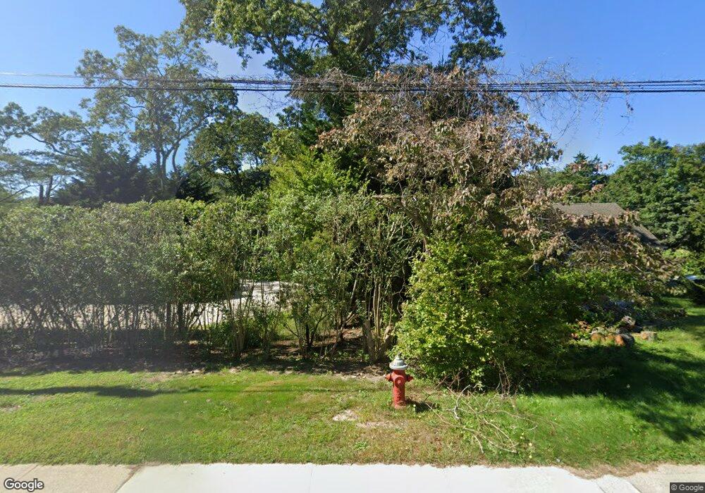
478 Abrahams Path Amagansett, NY 11930
East Hampton North NeighborhoodEstimated Value: $938,000 - $1,505,000
--
Bed
--
Bath
--
Sq Ft
0.42
Acres
About This Home
This home is located at 478 Abrahams Path, Amagansett, NY 11930 and is currently estimated at $1,165,952. 478 Abrahams Path is a home with nearby schools including John M. Marshall Elementary School, East Hampton Middle School, and East Hampton High School.
Ownership History
Date
Name
Owned For
Owner Type
Purchase Details
Closed on
Sep 13, 2019
Sold by
Tuscano Michael
Bought by
Baker Micholas and Fowler Georgina
Current Estimated Value
Home Financials for this Owner
Home Financials are based on the most recent Mortgage that was taken out on this home.
Original Mortgage
$715,000
Outstanding Balance
$611,626
Interest Rate
2.88%
Mortgage Type
Adjustable Rate Mortgage/ARM
Estimated Equity
$554,326
Purchase Details
Closed on
May 20, 2005
Sold by
Smudzinski Walter A
Bought by
Tuscano Michael
Purchase Details
Closed on
Apr 11, 2003
Sold by
King Thomas O and King Thomas Osborne
Bought by
Smudzinski Walter A and Smudzinski Victoria Ann H
Create a Home Valuation Report for This Property
The Home Valuation Report is an in-depth analysis detailing your home's value as well as a comparison with similar homes in the area
Home Values in the Area
Average Home Value in this Area
Purchase History
| Date | Buyer | Sale Price | Title Company |
|---|---|---|---|
| Baker Micholas | -- | -- | |
| Baker Micholas | -- | -- | |
| Tuscano Michael | $695,000 | Tina Piette Esq | |
| Tuscano Michael | $695,000 | Tina Piette Esq | |
| Smudzinski Walter A | $390,000 | -- | |
| Smudzinski Walter A | $390,000 | -- |
Source: Public Records
Mortgage History
| Date | Status | Borrower | Loan Amount |
|---|---|---|---|
| Open | Baker Micholas | $715,000 | |
| Closed | Baker Micholas | $715,000 |
Source: Public Records
Tax History Compared to Growth
Tax History
| Year | Tax Paid | Tax Assessment Tax Assessment Total Assessment is a certain percentage of the fair market value that is determined by local assessors to be the total taxable value of land and additions on the property. | Land | Improvement |
|---|---|---|---|---|
| 2024 | $5,086 | $4,650 | $200 | $4,450 |
| 2023 | $2,543 | $4,650 | $200 | $4,450 |
| 2022 | $3,864 | $4,650 | $200 | $4,450 |
| 2021 | $3,864 | $4,650 | $200 | $4,450 |
| 2020 | $4,168 | $4,450 | $200 | $4,250 |
| 2019 | $4,168 | $0 | $0 | $0 |
| 2018 | $4,018 | $4,200 | $200 | $4,000 |
| 2017 | $4,018 | $4,200 | $200 | $4,000 |
| 2016 | $3,934 | $4,200 | $200 | $4,000 |
| 2015 | -- | $4,200 | $200 | $4,000 |
| 2014 | -- | $4,200 | $200 | $4,000 |
Source: Public Records
Map
Nearby Homes
- 540 Abrahams Path
- 97 Oak Ln
- 75 Edwards Ave
- 228 Town Ln
- 151 and 155 Skimhampton Rd
- 251 Town Ln
- 6 Covey Ct
- 4 Issacs Path
- 97 Spring Close Hwy
- 256 Main St
- 344 Accabonac Rd
- 1 Dayton Ave
- 267 Accabonac Rd
- 10 Lauras Ln
- 8 Lauras Ln
- 6 Crystal Mews Ln
- 8 Dayton Ave
- 226 Pantigo Rd Unit 310
- 67 Hither Ln
- 14 Saint Marys Ln
- 484 Abrahams Path
- 474 Abrahams Path
- 468 Abrahams Path
- 460 Abrahams Path
- 7 Schellinger Rd
- 470 Abrahams Path
- 7 Schellinger Rd
- 492 Abrahams Path
- 492 Abrahams Path
- 492 Abrahams Path
- 467 Abrahams Path
- 493 Abrahams Path
- 496 Abrahams Path
- 498 Abrahams Path
- 524 Abrahams Path
- 501 Abrahams Path
- 459 Abrahams Path
- 23 Hump Path
- 15 Schellinger Rd
- 511 Abrahams Path
