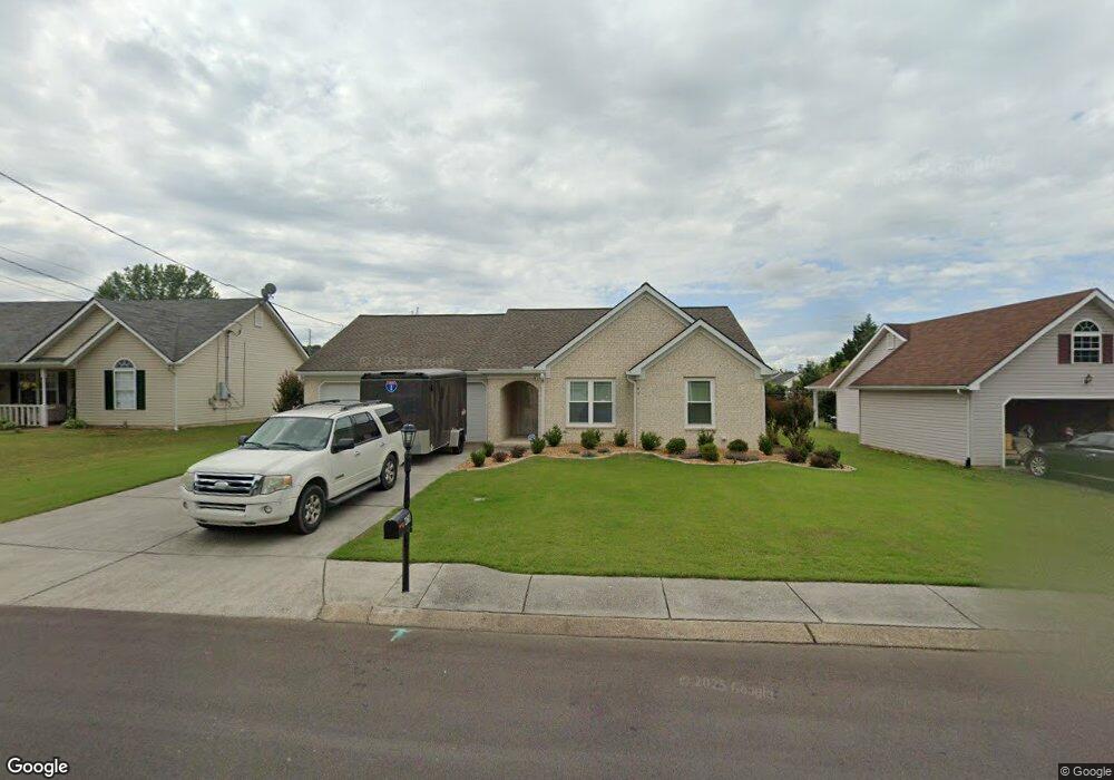
478 Colony Cir Fort Oglethorpe, GA 30742
Estimated Value: $250,256 - $282,000
3
Beds
2
Baths
1,150
Sq Ft
$232/Sq Ft
Est. Value
About This Home
This home is located at 478 Colony Cir, Fort Oglethorpe, GA 30742 and is currently estimated at $267,314, approximately $232 per square foot. 478 Colony Cir is a home located in Catoosa County with nearby schools including West Side Elementary School, Lakeview Middle School, and Lakeview-Fort Oglethorpe High School.
Ownership History
Date
Name
Owned For
Owner Type
Purchase Details
Closed on
Jul 22, 2025
Sold by
Haskin Kaye
Bought by
Haskin Jeffrey Mark and Haskin Kaye
Current Estimated Value
Purchase Details
Closed on
Oct 19, 2001
Bought by
Smith Kaye
Create a Home Valuation Report for This Property
The Home Valuation Report is an in-depth analysis detailing your home's value as well as a comparison with similar homes in the area
Home Values in the Area
Average Home Value in this Area
Purchase History
| Date | Buyer | Sale Price | Title Company |
|---|---|---|---|
| Haskin Jeffrey Mark | -- | -- | |
| Smith Kaye | $93,900 | -- |
Source: Public Records
Tax History
| Year | Tax Paid | Tax Assessment Tax Assessment Total Assessment is a certain percentage of the fair market value that is determined by local assessors to be the total taxable value of land and additions on the property. | Land | Improvement |
|---|---|---|---|---|
| 2025 | $1,337 | $88,969 | $11,000 | $77,969 |
| 2024 | $1,638 | $85,875 | $11,000 | $74,875 |
| 2023 | $1,805 | $67,893 | $11,000 | $56,893 |
| 2022 | $1,395 | $53,297 | $11,000 | $42,297 |
| 2021 | $1,320 | $53,297 | $11,000 | $42,297 |
| 2020 | $1,417 | $47,988 | $11,000 | $36,988 |
| 2019 | $1,261 | $45,988 | $9,000 | $36,988 |
| 2018 | $1,441 | $45,988 | $9,000 | $36,988 |
| 2017 | $1,240 | $43,272 | $7,200 | $36,072 |
| 2016 | $1,215 | $40,762 | $7,200 | $33,562 |
| 2015 | -- | $40,762 | $7,200 | $33,562 |
| 2014 | -- | $40,762 | $7,200 | $33,562 |
| 2013 | -- | $39,131 | $6,912 | $32,219 |
Source: Public Records
Map
Nearby Homes
- 47 Spring Place Dr
- 699 Colony Cir
- 128 Franklin Cir
- 351 Franklin Cir
- 180 Gem Dr
- 792 Colony Cir
- 425 Franklin Cir
- 54 Franklin Cir
- 2003 Cedar Creek Dr
- 304 Cedar Creek Dr
- 875 Colony Cir
- 74 Flagstone Dr
- 239 Flagstone Dr
- 344 Flagstone Dr
- 329 Flagstone Dr
- 250 Steele Rd
- 14 Evergreen Cir
- 72 Anchor Dr
- 265 S Cedar Ln
- 127 Evergreen Cir
- 490 Colony Cir
- 464 Colony Cir
- 48 Stone Edge Ct
- 504 Colony Cir
- 38 Stone Edge Ct
- 438 Colony Cir
- 489 Colony Cir
- 412 Colony Cir
- 503 Colony Cir
- 518 Colony Cir
- 45 Stone Edge Ct
- 455 Colony Cir
- 398 Colony Cir
- 28 Stone Edge Ct
- 517 Colony Cir
- 386 Colony Cir
- 546 Colony Cir
- 445 Colony Cir
- 33 Stone Edge Ct
- 529 Colony Cir
Your Personal Tour Guide
Ask me questions while you tour the home.