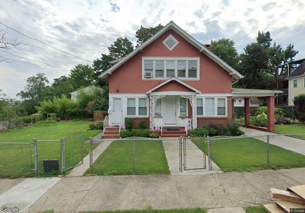
478 Davidson St Bridgeport, CT 06605
Black Rock NeighborhoodEstimated Value: $568,328 - $654,000
4
Beds
2
Baths
2,626
Sq Ft
$234/Sq Ft
Est. Value
About This Home
This home is located at 478 Davidson St, Bridgeport, CT 06605 and is currently estimated at $614,832, approximately $234 per square foot. 478 Davidson St is a home located in Fairfield County with nearby schools including Holland Hill Elementary, Fairfield Ludlowe High School, and Catholic Academy of Bridgeport-St. Ann Academy.
Ownership History
Date
Name
Owned For
Owner Type
Purchase Details
Closed on
Jun 22, 2021
Sold by
Wang Debbie and Wang Todd
Bought by
Pina Pugo A and Pugo Andrea P
Current Estimated Value
Purchase Details
Closed on
Sep 30, 2005
Sold by
Wang Frank
Bought by
Wang Todd and Wang Debbie
Create a Home Valuation Report for This Property
The Home Valuation Report is an in-depth analysis detailing your home's value as well as a comparison with similar homes in the area
Home Values in the Area
Average Home Value in this Area
Purchase History
| Date | Buyer | Sale Price | Title Company |
|---|---|---|---|
| Pina Pugo A | $387,000 | None Available | |
| Pina Pugo A | $387,000 | None Available | |
| Wang Todd | $280,000 | -- | |
| Wang Todd | $280,000 | -- |
Source: Public Records
Mortgage History
| Date | Status | Borrower | Loan Amount |
|---|---|---|---|
| Previous Owner | Wang Todd | $188,000 |
Source: Public Records
Tax History
| Year | Tax Paid | Tax Assessment Tax Assessment Total Assessment is a certain percentage of the fair market value that is determined by local assessors to be the total taxable value of land and additions on the property. | Land | Improvement |
|---|---|---|---|---|
| 2025 | $11,186 | $257,456 | $146,696 | $110,760 |
| 2024 | $11,186 | $257,456 | $146,696 | $110,760 |
| 2023 | $11,186 | $257,456 | $146,696 | $110,760 |
| 2022 | $11,186 | $257,456 | $146,696 | $110,760 |
| 2021 | $11,186 | $257,456 | $146,696 | $110,760 |
| 2020 | $9,268 | $171,660 | $80,060 | $91,600 |
| 2019 | $9,268 | $171,660 | $80,060 | $91,600 |
| 2018 | $9,333 | $171,660 | $80,060 | $91,600 |
| 2017 | $9,333 | $171,660 | $80,060 | $91,600 |
| 2016 | $9,333 | $171,660 | $80,060 | $91,600 |
| 2015 | $8,089 | $191,690 | $67,570 | $124,120 |
| 2014 | $8,089 | $191,690 | $67,570 | $124,120 |
Source: Public Records
Map
Nearby Homes
- 3250 Fairfield Ave Unit 302
- 165 Bennett St
- 90 Clarkson St
- 132 Gilman St
- 855 Brewster St Unit 857
- 315 Seaside Ave
- 377 Midland St
- 148 Alfred St
- 554 Brewster St Unit 4
- 27 Nash Ln Unit 5
- 37 Rowsley St Unit 6
- 20 Haddon St Unit 5
- 78 Rowsley St Unit 4
- 97 Fayerweather Terrace
- 117 Nash Ln
- 361 Riverside Dr
- 318 Grovers Ave
- 22 Monroe St Unit 24
- 287 Hansen Ave
- 65 Ellsworth St Unit 302
- 450 Davidson St Unit 452
- 450 Davidson St Unit 1st Floor
- 450 Davidson St Unit 2ND F
- 450 Davidson St Unit 3RD F
- 450 Davidson St Unit 1ST F
- 635 Canfield Ave Unit 641
- 641 Canfield Ave Unit 6005
- 444 Davidson St
- 151 Morehouse St
- 469 Davidson St
- 135 Morehouse St
- 461 Davidson St
- 434 Davidson St
- 430 Davidson St Unit 434
- 451 Davidson St Unit 453
- 475 Davidson St
- 121 Morehouse St
- 173 Morehouse St Unit 175
- 443 Davidson St Unit 445
- 435 Davidson St Unit 1
Your Personal Tour Guide
Ask me questions while you tour the home.