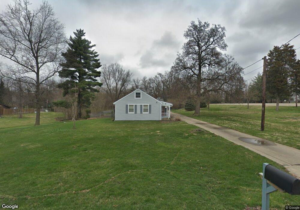
478 Fleming Rd Cincinnati, OH 45231
Estimated Value: $281,000 - $429,000
4
Beds
2
Baths
2,415
Sq Ft
$143/Sq Ft
Est. Value
About This Home
This home is located at 478 Fleming Rd, Cincinnati, OH 45231 and is currently estimated at $345,022, approximately $142 per square foot. 478 Fleming Rd is a home located in Hamilton County with nearby schools including John Paul II Catholic School.
Ownership History
Date
Name
Owned For
Owner Type
Purchase Details
Closed on
Dec 5, 2025
Sold by
Putnam Mark A and Joyce A Putnam Revocable Trust
Bought by
Peters Dean C and Peters Andrea R
Current Estimated Value
Home Financials for this Owner
Home Financials are based on the most recent Mortgage that was taken out on this home.
Original Mortgage
$75,000
Outstanding Balance
$74,856
Interest Rate
6.19%
Mortgage Type
New Conventional
Estimated Equity
$270,166
Purchase Details
Closed on
Sep 17, 2013
Sold by
Putnam Joyce A
Bought by
Putnam Joyce A and Putnam Mark A
Purchase Details
Closed on
May 10, 2005
Sold by
Putnam Joyce A
Bought by
Putnam John E
Purchase Details
Closed on
Nov 19, 1993
Sold by
Anton Edward C and Anton Judith F
Bought by
Putnam John E and Putnam Joyce A
Create a Home Valuation Report for This Property
The Home Valuation Report is an in-depth analysis detailing your home's value as well as a comparison with similar homes in the area
Home Values in the Area
Average Home Value in this Area
Purchase History
| Date | Buyer | Sale Price | Title Company |
|---|---|---|---|
| Peters Dean C | $280,000 | Lawyers Title (Ltoc) | |
| Putnam Joyce A | -- | None Available | |
| Putnam John E | -- | None Available | |
| Putnam John E | $125,000 | -- |
Source: Public Records
Mortgage History
| Date | Status | Borrower | Loan Amount |
|---|---|---|---|
| Open | Peters Dean C | $75,000 |
Source: Public Records
Tax History
| Year | Tax Paid | Tax Assessment Tax Assessment Total Assessment is a certain percentage of the fair market value that is determined by local assessors to be the total taxable value of land and additions on the property. | Land | Improvement |
|---|---|---|---|---|
| 2025 | $5,164 | $86,492 | $16,835 | $69,657 |
| 2023 | $4,896 | $86,492 | $16,835 | $69,657 |
| 2022 | $5,109 | $69,266 | $15,894 | $53,372 |
| 2021 | $4,992 | $69,266 | $15,894 | $53,372 |
| 2020 | $5,062 | $69,266 | $15,894 | $53,372 |
| 2019 | $4,537 | $58,699 | $13,468 | $45,231 |
| 2018 | $4,547 | $58,699 | $13,468 | $45,231 |
| 2017 | $4,377 | $58,699 | $13,468 | $45,231 |
| 2016 | $4,027 | $53,767 | $13,601 | $40,166 |
| 2015 | $3,758 | $53,767 | $13,601 | $40,166 |
| 2014 | $3,744 | $53,767 | $13,601 | $40,166 |
| 2013 | $4,469 | $53,235 | $13,468 | $39,767 |
Source: Public Records
Map
Nearby Homes
- 9441 Wyoming Point Place
- 429 Mccreary Ct
- 357 Meadowcrest Rd
- 513 Chisholm Trail
- 343 Ashley Ln
- 650 Allencrest Ct
- 311 Ritchie Ave
- 9458 Leebrook Dr
- 9606 Millbrook Dr
- 9197 Long Ln
- 377 Compton Rd
- 1012 Mary Ln
- 155 Bonham Rd
- 9319 Winton Rd
- 9315 Winton Rd
- 320 Reily Rd
- 350 Pleasant Hill Dr
- 204 Brocdorf Dr
- 10133 Leacrest Rd
- 860 Sarbrook Dr
- 490 Fleming Rd
- 9448 Wyoming Point Place
- 477 Fleming Rd
- 498 Fleming Rd
- 483 Fleming Rd
- 469 Fleming Rd
- 448 Fleming Rd
- 465 Fleming Rd
- 9444 Wyoming Point Place
- 489 Fleming Rd
- 9449 Wyoming Point Place
- 9397 Flemington Dr
- 497 Fleming Rd
- 488 Flemridge Ct
- 510 Fleming Rd
- 9440 Wyoming Point Place
- 484 Flemridge Ct
- 9445 Wyoming Point Place
- 9389 Flemington Dr
- 442 Fleming Rd
Your Personal Tour Guide
Ask me questions while you tour the home.