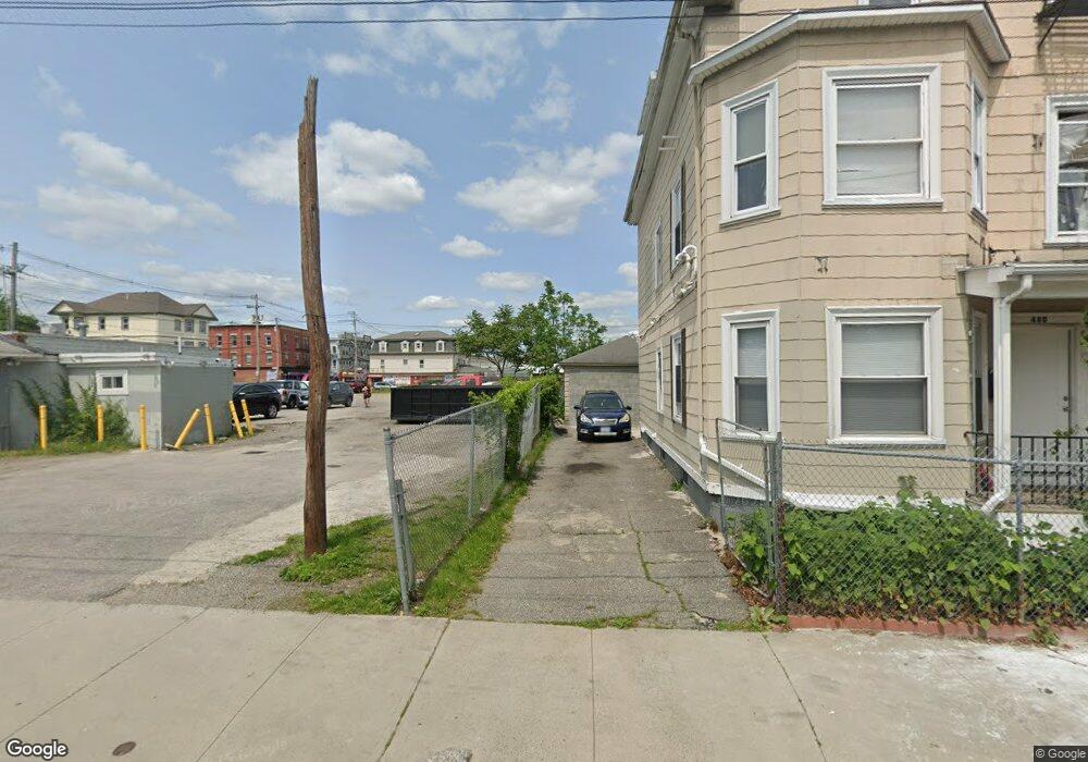
478 Huntington Ave Providence, RI 02907
West End NeighborhoodEstimated Value: $108,663 - $470,000
--
Bed
--
Bath
--
Sq Ft
3,485
Sq Ft Lot
About This Home
This home is located at 478 Huntington Ave, Providence, RI 02907 and is currently estimated at $289,332. 478 Huntington Ave is a home located in Providence County with nearby schools including Asa Messer Elementary School, Charles N. Fortes Elementary School, and Alfred Lima Sr. Elementary School.
Ownership History
Date
Name
Owned For
Owner Type
Purchase Details
Closed on
Sep 2, 2016
Sold by
Downes Lawrence D
Bought by
Franco Edward
Current Estimated Value
Purchase Details
Closed on
Sep 19, 1997
Sold by
Kimball Joyce A
Bought by
Downes Olga B
Create a Home Valuation Report for This Property
The Home Valuation Report is an in-depth analysis detailing your home's value as well as a comparison with similar homes in the area
Home Values in the Area
Average Home Value in this Area
Purchase History
| Date | Buyer | Sale Price | Title Company |
|---|---|---|---|
| Franco Edward | $1,075,000 | -- | |
| Downes Olga B | $25,000 | -- |
Source: Public Records
Mortgage History
| Date | Status | Borrower | Loan Amount |
|---|---|---|---|
| Previous Owner | Downes Olga B | $135,000 |
Source: Public Records
Tax History Compared to Growth
Tax History
| Year | Tax Paid | Tax Assessment Tax Assessment Total Assessment is a certain percentage of the fair market value that is determined by local assessors to be the total taxable value of land and additions on the property. | Land | Improvement |
|---|---|---|---|---|
| 2025 | $1,758 | $120,400 | $120,400 | $0 |
| 2024 | $1,281 | $36,500 | $36,500 | $0 |
| 2023 | $1,281 | $36,500 | $36,500 | $0 |
| 2022 | $1,292 | $36,500 | $36,500 | $0 |
| 2021 | $980 | $26,700 | $26,700 | $0 |
| 2020 | $980 | $26,700 | $26,700 | $0 |
| 2019 | $980 | $26,700 | $26,700 | $0 |
| 2018 | $1,020 | $27,800 | $26,700 | $1,100 |
| 2017 | $1,020 | $27,800 | $26,700 | $1,100 |
| 2016 | $1,020 | $27,800 | $26,700 | $1,100 |
| 2015 | $974 | $26,500 | $25,400 | $1,100 |
| 2014 | $974 | $26,500 | $25,400 | $1,100 |
| 2013 | $974 | $26,500 | $25,400 | $1,100 |
Source: Public Records
Map
Nearby Homes
- 13 Halton St
- 10 Calhoun Ave
- 42 Chambers St
- 716 Potters Ave
- 14 Seabury St
- 10 Seabury St
- 116 Waldo St
- 654 Cranston St
- 133 Burnett St Unit 135
- 690 Potters Ave
- 63 Lincoln Ave
- 111 Waverly St
- 31 Carter St Unit 33
- 561 Potters Ave
- 283 Waldo St
- 271 Althea St
- 269 Althea St
- 16 Ruzzi St
- 166 Whitmarsh St
- 78 Ford St
- 44 Noyes Ave
- 40 Homestead Ave
- 41 Homestead Ave
- 12 Anthony Ave
- 10 Anthony Ave Unit 2
- 51 Noyes Ave
- 582 Huntington Ave
- 47 Noyes Ave
- 32 Noyes Ave
- 43 Noyes Ave
- 42 Calhoun Ave
- 46 Calhoun Ave
- 39 Noyes Ave
- 37 Noyes Ave
- 54 Ninigret Ave
- 48 Ninigret Ave
- 586 Huntington Ave
- 17 Anthony Ave
- 28 Anthony Ave
- 34 Calhoun Ave