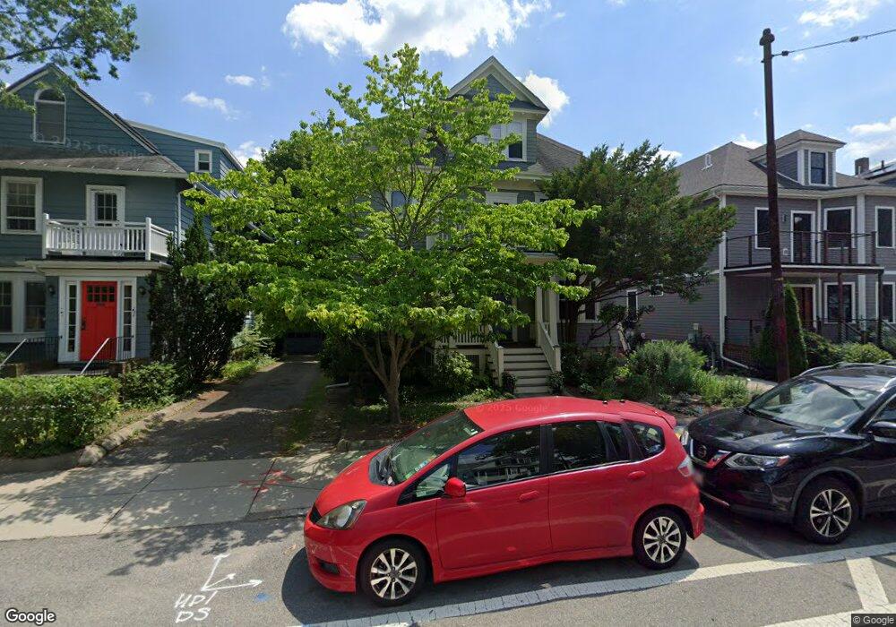
478 Huron Ave Unit 2 Cambridge, MA 02138
West Cambridge NeighborhoodEstimated Value: $1,118,253 - $1,313,000
3
Beds
1
Bath
1,517
Sq Ft
$796/Sq Ft
Est. Value
About This Home
This home is located at 478 Huron Ave Unit 2, Cambridge, MA 02138 and is currently estimated at $1,207,563, approximately $796 per square foot. 478 Huron Ave Unit 2 is a home located in Middlesex County with nearby schools including Cambridge Montessori School, St Peter School, and Cambridge Friends School.
Ownership History
Date
Name
Owned For
Owner Type
Purchase Details
Closed on
Jul 22, 2008
Sold by
Eddy-Spicer David Henning and Murphy-Spicer Nancy Jean
Bought by
Randall Elizabeth W and Hartman Michael P
Current Estimated Value
Purchase Details
Closed on
Jun 24, 1999
Sold by
Nelson Robert B
Bought by
Spicer David H and Spicer Nancy J
Create a Home Valuation Report for This Property
The Home Valuation Report is an in-depth analysis detailing your home's value as well as a comparison with similar homes in the area
Home Values in the Area
Average Home Value in this Area
Purchase History
| Date | Buyer | Sale Price | Title Company |
|---|---|---|---|
| Randall Elizabeth W | $535,000 | -- | |
| Spicer David H | $362,000 | -- |
Source: Public Records
Mortgage History
| Date | Status | Borrower | Loan Amount |
|---|---|---|---|
| Open | Spicer David H | $404,000 | |
| Closed | Spicer David H | $411,000 | |
| Closed | Spicer David H | $417,000 |
Source: Public Records
Tax History
| Year | Tax Paid | Tax Assessment Tax Assessment Total Assessment is a certain percentage of the fair market value that is determined by local assessors to be the total taxable value of land and additions on the property. | Land | Improvement |
|---|---|---|---|---|
| 2025 | $6,593 | $1,038,300 | $0 | $1,038,300 |
| 2024 | $6,208 | $1,048,700 | $0 | $1,048,700 |
| 2023 | $5,783 | $986,800 | $0 | $986,800 |
| 2022 | $5,765 | $973,900 | $0 | $973,900 |
| 2021 | $5,542 | $947,400 | $0 | $947,400 |
| 2020 | $5,273 | $917,000 | $0 | $917,000 |
| 2019 | $5,115 | $861,100 | $0 | $861,100 |
| 2018 | $5,035 | $800,500 | $0 | $800,500 |
| 2017 | $4,968 | $765,500 | $0 | $765,500 |
| 2016 | $4,941 | $706,900 | $0 | $706,900 |
| 2015 | $4,899 | $626,500 | $0 | $626,500 |
| 2014 | $4,855 | $579,400 | $0 | $579,400 |
Source: Public Records
Map
Nearby Homes
- 180 Larch Rd
- 65 Fresh Pond Pkwy
- 252 Lexington Ave Unit 2
- 252 Lexington Ave Unit 4
- 252 Lexington Ave Unit 1
- 252 Lexington Ave Unit 3
- 1 Aberdeen Way Unit 102
- 497 Mount Auburn St
- 59-61 Reservoir St Unit 2
- 35 Homer Ave Unit 7
- 133 Fayerweather St Unit 133
- 119 Appleton St
- 172 Brattle St
- 87 Holworthy St
- 159 Brattle St
- 316 Concord Ave
- 161 Cushing St
- 157 Brattle St
- 66 Holworthy St
- 32 Copley St Unit 2
- 478 Huron Ave Unit 1
- 478 Huron Ave Unit 2 478
- 474 Huron Ave Unit 2
- 474 Huron Ave Unit 1
- 482 Huron Ave
- 149 Larch Rd
- 486 Huron Ave
- 92 Grozier Rd
- 90 Grozier Rd Unit 92
- 88 Grozier Rd
- 86 Grozier Rd
- 483 Huron Ave
- 84 Grozier Rd
- 145 Larch Rd
- 145 Larch Rd Unit 2
- 145 Larch Rd Unit 1
- 481 Huron Ave
- 80 Grozier Rd Unit 2
- 80 Grozier Rd Unit 1
- 479 Huron Ave
Your Personal Tour Guide
Ask me questions while you tour the home.