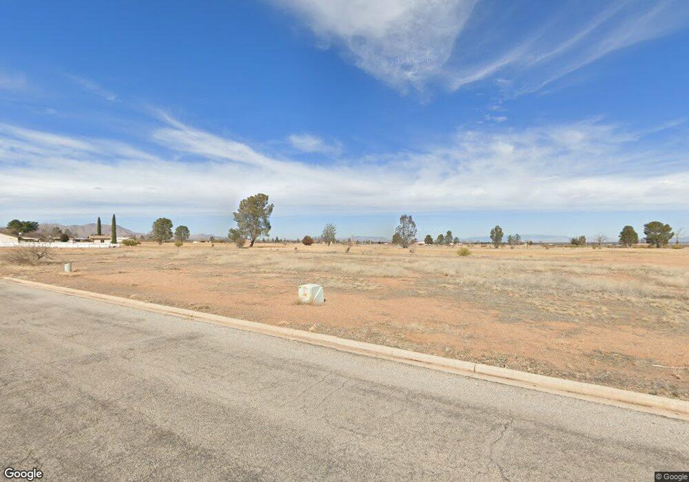
478 N Burnies St Pearce, AZ 85625
Estimated Value: $240,000 - $464,000
3
Beds
3
Baths
2,460
Sq Ft
$128/Sq Ft
Est. Value
About This Home
This home is located at 478 N Burnies St, Pearce, AZ 85625 and is currently estimated at $315,998, approximately $128 per square foot. 478 N Burnies St is a home located in Cochise County with nearby schools including Pearce Elementary School and Valley Union High School.
Ownership History
Date
Name
Owned For
Owner Type
Purchase Details
Closed on
Oct 12, 2016
Sold by
Howe Philip M and Howe Karen Jane
Bought by
Beyer Diane J and Beyer Kevin D
Current Estimated Value
Home Financials for this Owner
Home Financials are based on the most recent Mortgage that was taken out on this home.
Original Mortgage
$190,000
Interest Rate
3.52%
Mortgage Type
New Conventional
Purchase Details
Closed on
Jun 27, 2011
Sold by
Howe Philip M and Howe Karen J
Bought by
Howe Philip M and Howe Karen Jane
Purchase Details
Closed on
Jun 17, 2011
Sold by
Federal National Mortgage Association
Bought by
Howe Philip M and Howe Karen J
Purchase Details
Closed on
Feb 1, 2011
Sold by
Kolpack Richard W and Kolpack Barbara M
Bought by
Aurora Loan Services Llc
Create a Home Valuation Report for This Property
The Home Valuation Report is an in-depth analysis detailing your home's value as well as a comparison with similar homes in the area
Home Values in the Area
Average Home Value in this Area
Purchase History
| Date | Buyer | Sale Price | Title Company |
|---|---|---|---|
| Beyer Diane J | -- | Pioneer Title Agency | |
| Howe Philip M | -- | Pioneer Title Agency | |
| Howe Philip M | $132,000 | Pioneer Title Agency | |
| Aurora Loan Services Llc | $240,134 | Accommodation |
Source: Public Records
Mortgage History
| Date | Status | Borrower | Loan Amount |
|---|---|---|---|
| Previous Owner | Beyer Diane J | $190,000 |
Source: Public Records
Tax History Compared to Growth
Tax History
| Year | Tax Paid | Tax Assessment Tax Assessment Total Assessment is a certain percentage of the fair market value that is determined by local assessors to be the total taxable value of land and additions on the property. | Land | Improvement |
|---|---|---|---|---|
| 2025 | $2,535 | $22,323 | $2,880 | $19,443 |
| 2024 | $2,535 | $22,165 | $2,880 | $19,285 |
| 2023 | $2,372 | $17,994 | $1,720 | $16,274 |
| 2022 | $2,247 | $14,681 | $1,720 | $12,961 |
| 2021 | $2,142 | $14,468 | $1,720 | $12,748 |
| 2020 | $2,047 | $0 | $0 | $0 |
| 2019 | $1,946 | $0 | $0 | $0 |
| 2018 | $1,938 | $0 | $0 | $0 |
| 2017 | $2,311 | $0 | $0 | $0 |
| 2016 | $2,335 | $0 | $0 | $0 |
| 2015 | -- | $0 | $0 | $0 |
Source: Public Records
Map
Nearby Homes
- 6.6 Acres Geneva St
- 1 Acre Allen St Unit 6
- 0 Ironwood Rd Unit 22423216
- 389 N Shadow Mountain Ct
- 4.13A N Burnies Ln
- TBD E Geneva St Unit 12
- 1027 E Geneva St Unit 23
- TBD E Geneva St Unit 15
- 1006 E Geneva St
- 496 N Shadow Mountain Ct
- 1029 E Geneva St Unit 26
- 924 E Saguaro Dr
- 1018 E Geneva St
- 0 E Irene St Unit 22423251
- 1021 E Geneva St
- TBD N Cholla Dr Unit 93
- TBD N Cholla Dr Unit 94
- TBD N Cholla Dr Unit 131
- 1033 E Irene Cir
- 66 Lots Ironwood Rd Unit 66
- 478 N Burnies Ln Unit 4
- 2 Ironwood -- Unit 13 & 14
- 0 W Ironwood Rd Unit 20810245
- 0 W Ironwood Rd Unit 20813743
- 0 W Ironwood Rd Unit 21206510
- 0 W Ironwood Rd Unit 21206507
- 0 Ironwood & Burnies Rd Unit 2 LOTS 20820763
- 1 7 Acre On Ironwood & Ripley Rd
- 168 E Geneva St
- 0 W Dowing St Unit 21314177
- .86 Acre E Downing St Unit 471
- .86 Acre E Downing St Unit 11
- 0 3rd Lot E of Sidney & Ironwood Rd Unit 21510030
- 2 Lots On Ironwood & Sidney
- 0 Burnies & Geneva St NW Unit .825ac 20925617
- 0 Lot 9 Downing St Unit 20906983
- 0 Lot 8 Downing St Unit 20907110
- 1 65 Ac Parcel Ironwood Rd
- 5 ACRES N Bernies Ln
- 10 ACRES N Bernies Ln
