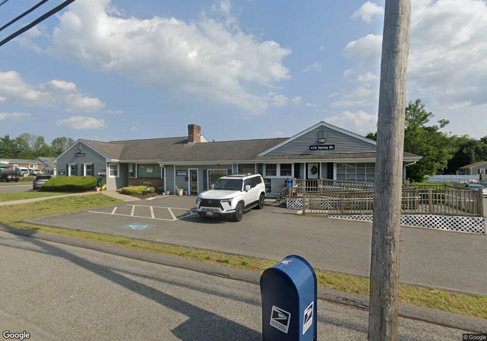
478 Torrey St Unit 1 Brockton, MA 02301
Estimated Value: $251,525
--
Bed
1
Bath
705
Sq Ft
$357/Sq Ft
Est. Value
About This Home
This home is located at 478 Torrey St Unit 1, Brockton, MA 02301 and is currently priced at $251,525, approximately $356 per square foot. 478 Torrey St Unit 1 is a home located in Plymouth County with nearby schools including Hancock Elementary School, Manthala George Jr. School, and Louis F Angelo Elementary School.
Ownership History
Date
Name
Owned For
Owner Type
Purchase Details
Closed on
Apr 28, 2015
Sold by
Dental Office Of Brock
Bought by
Jazz Realty Llc
Current Estimated Value
Home Financials for this Owner
Home Financials are based on the most recent Mortgage that was taken out on this home.
Original Mortgage
$140,000
Outstanding Balance
$108,551
Interest Rate
3.86%
Mortgage Type
Commercial
Estimated Equity
$142,974
Purchase Details
Closed on
Sep 20, 2013
Sold by
Cohen Morris B and Cohen Ina Lou
Bought by
Dental Office Of Brock
Create a Home Valuation Report for This Property
The Home Valuation Report is an in-depth analysis detailing your home's value as well as a comparison with similar homes in the area
Home Values in the Area
Average Home Value in this Area
Purchase History
| Date | Buyer | Sale Price | Title Company |
|---|---|---|---|
| Jazz Realty Llc | $130,000 | -- | |
| Dental Office Of Brock | $90,000 | -- |
Source: Public Records
Mortgage History
| Date | Status | Borrower | Loan Amount |
|---|---|---|---|
| Open | Jazz Realty Llc | $140,000 |
Source: Public Records
Tax History Compared to Growth
Tax History
| Year | Tax Paid | Tax Assessment Tax Assessment Total Assessment is a certain percentage of the fair market value that is determined by local assessors to be the total taxable value of land and additions on the property. | Land | Improvement |
|---|---|---|---|---|
| 2025 | $4,162 | $172,000 | $0 | $172,000 |
| 2024 | $3,939 | $163,800 | $0 | $163,800 |
| 2023 | $3,874 | $148,900 | $0 | $148,900 |
| 2022 | $4,117 | $146,100 | $0 | $146,100 |
| 2021 | $4,111 | $138,700 | $0 | $138,700 |
| 2020 | $4,218 | $138,700 | $0 | $138,700 |
| 2019 | $4,184 | $132,100 | $0 | $132,100 |
| 2018 | $4,287 | $129,000 | $0 | $129,000 |
| 2017 | $3,867 | $117,400 | $0 | $117,400 |
| 2016 | $3,141 | $98,100 | $0 | $98,100 |
| 2015 | $3,324 | $98,100 | $0 | $98,100 |
| 2014 | $3,634 | $107,000 | $0 | $107,000 |
Source: Public Records
Map
Nearby Homes
- 478 Torrey St Unit 3
- 478 Torrey St Unit 4
- 478 Torrey St Unit 4
- 478 Torrey St Unit 9A
- 478 Torrey St
- 478 Torrey St Unit 6
- 550 Pearl St
- 550 Pearl St Unit 550
- 556 Pearl St
- 560 Pearl St
- 543 Pearl St
- 73 Richard St
- 77 Richard St
- 67 Richard St
- 519 Pearl St
- 519 Pearl St Unit 1
- 59 Richard St
- 515 Torrey St
- 867 Pearl St
- 72 Richard St