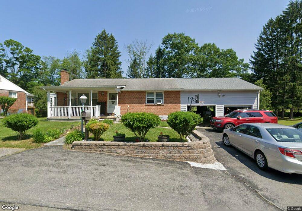
478 Youngwood Dr East Stroudsburg, PA 18301
Estimated Value: $241,389 - $280,000
2
Beds
1
Bath
1,000
Sq Ft
$264/Sq Ft
Est. Value
About This Home
This home is located at 478 Youngwood Dr, East Stroudsburg, PA 18301 and is currently estimated at $264,097, approximately $264 per square foot. 478 Youngwood Dr is a home located in Monroe County with nearby schools including Stroudsburg Junior High School, Stroudsburg High School, and Summit School Of The Poconos.
Ownership History
Date
Name
Owned For
Owner Type
Purchase Details
Closed on
Oct 12, 2007
Sold by
Lasnier Oscar E and Lasnier Madeline
Bought by
Konduzov Plamen Davidov and Konduzova Rumyana
Current Estimated Value
Home Financials for this Owner
Home Financials are based on the most recent Mortgage that was taken out on this home.
Original Mortgage
$173,700
Interest Rate
6.39%
Mortgage Type
New Conventional
Create a Home Valuation Report for This Property
The Home Valuation Report is an in-depth analysis detailing your home's value as well as a comparison with similar homes in the area
Home Values in the Area
Average Home Value in this Area
Purchase History
| Date | Buyer | Sale Price | Title Company |
|---|---|---|---|
| Konduzov Plamen Davidov | $193,000 | None Available |
Source: Public Records
Mortgage History
| Date | Status | Borrower | Loan Amount |
|---|---|---|---|
| Previous Owner | Konduzov Plamen Davidov | $173,700 |
Source: Public Records
Tax History Compared to Growth
Tax History
| Year | Tax Paid | Tax Assessment Tax Assessment Total Assessment is a certain percentage of the fair market value that is determined by local assessors to be the total taxable value of land and additions on the property. | Land | Improvement |
|---|---|---|---|---|
| 2025 | $977 | $118,490 | $22,920 | $95,570 |
| 2024 | $799 | $118,490 | $22,920 | $95,570 |
| 2023 | $3,955 | $118,490 | $22,920 | $95,570 |
| 2022 | $4,039 | $118,490 | $22,920 | $95,570 |
| 2021 | $3,914 | $118,490 | $22,920 | $95,570 |
| 2020 | $3,480 | $118,490 | $22,920 | $95,570 |
| 2019 | $3,345 | $17,740 | $3,660 | $14,080 |
| 2018 | $3,568 | $17,740 | $3,660 | $14,080 |
| 2017 | $3,568 | $17,740 | $3,660 | $14,080 |
| 2016 | $671 | $17,740 | $3,660 | $14,080 |
| 2015 | -- | $17,740 | $3,660 | $14,080 |
| 2014 | -- | $17,740 | $3,660 | $14,080 |
Source: Public Records
Map
Nearby Homes
- 0 Seneca Way
- 118 Burgoon Rd
- 720 Stokes Mill Rd
- 0 Monroe-Heights Rd
- 179 King St
- 0 Eagle Drive (Bush) Ct
- 137 Berwick Heights Rd
- 1191 Appenzeller Ave
- 1184 Appenzeller Ave
- 3 Oakland Ave
- 1 Oakland Ave
- 144 W Broad St
- 916 Mt Zion Ave
- 727 Milford Rd
- 198 Grove St
- 0 Marshall Dr
- 202 N Courtland St Unit 1 & 2
- 202 N Courtland St
- 197 Meyers St
- 204 Lackawanna Ave
- 480 Youngwood Dr
- 468 Youngwood Dr
- 469 Youngwood Dr
- 484 Youngwood Dr
- 479 Youngwood Dr
- 464 Youngwood Dr
- 467 Youngwood Dr
- 481 Youngwood Dr
- 483 Youngwood Dr
- 465 Youngwood Dr
- 485 Youngwood Dr
- 471 Youngwood Cir
- 606 Circle Dr
- 486 Youngwood Dr
- 608 Circle Dr
- 560 Circle Dr
- 475 Toby Ct
- 556 Circle Dr
- 477 Youngwood Cir
- 473 Toby Ct