4780 Maynard Rd Delaware, OH 43015
Concord NeighborhoodEstimated Value: $580,000 - $622,000
4
Beds
3
Baths
2,500
Sq Ft
$242/Sq Ft
Est. Value
About This Home
This home is located at 4780 Maynard Rd, Delaware, OH 43015 and is currently estimated at $604,810, approximately $241 per square foot. 4780 Maynard Rd is a home located in Delaware County with nearby schools including Buckeye Valley High School.
Ownership History
Date
Name
Owned For
Owner Type
Purchase Details
Closed on
Jan 18, 2008
Sold by
Walker Jeff A and Walker Colleen P
Bought by
Penick Shane H and Penick Debra M
Current Estimated Value
Home Financials for this Owner
Home Financials are based on the most recent Mortgage that was taken out on this home.
Original Mortgage
$28,200
Outstanding Balance
$13,100
Interest Rate
6.22%
Mortgage Type
Credit Line Revolving
Estimated Equity
$591,710
Purchase Details
Closed on
Sep 19, 2001
Sold by
Chrystal John M
Bought by
Walker Jeff A and Walker Colleen P
Home Financials for this Owner
Home Financials are based on the most recent Mortgage that was taken out on this home.
Original Mortgage
$188,000
Interest Rate
7.06%
Mortgage Type
New Conventional
Create a Home Valuation Report for This Property
The Home Valuation Report is an in-depth analysis detailing your home's value as well as a comparison with similar homes in the area
Home Values in the Area
Average Home Value in this Area
Purchase History
| Date | Buyer | Sale Price | Title Company |
|---|---|---|---|
| Penick Shane H | $282,000 | Title Link | |
| Walker Jeff A | $235,500 | -- |
Source: Public Records
Mortgage History
| Date | Status | Borrower | Loan Amount |
|---|---|---|---|
| Open | Penick Shane H | $28,200 | |
| Open | Penick Shane H | $225,600 | |
| Closed | Walker Jeff A | $188,000 |
Source: Public Records
Tax History
| Year | Tax Paid | Tax Assessment Tax Assessment Total Assessment is a certain percentage of the fair market value that is determined by local assessors to be the total taxable value of land and additions on the property. | Land | Improvement |
|---|---|---|---|---|
| 2024 | $5,621 | $161,460 | $72,910 | $88,550 |
| 2023 | $5,615 | $161,460 | $72,910 | $88,550 |
| 2022 | $4,660 | $121,030 | $45,570 | $75,460 |
| 2021 | $4,661 | $121,030 | $45,570 | $75,460 |
| 2020 | $4,691 | $121,030 | $45,570 | $75,460 |
| 2019 | $4,083 | $96,470 | $37,980 | $58,490 |
| 2018 | $4,148 | $96,470 | $37,980 | $58,490 |
| 2017 | $3,952 | $95,270 | $30,030 | $65,240 |
| 2016 | $3,840 | $95,270 | $30,030 | $65,240 |
| 2015 | $4,044 | $95,270 | $30,030 | $65,240 |
| 2014 | $3,812 | $95,270 | $30,030 | $65,240 |
| 2013 | $3,818 | $92,160 | $30,030 | $62,130 |
Source: Public Records
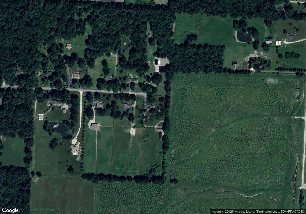
Map
Nearby Homes
- 2036 Ford Rd
- 2028 Ford Rd
- 2004 Ford Rd
- 2000 Ford Rd
- 3226 Bean Oller Rd
- 3516 US Highway 42 S
- 0 Ford Rd Unit 2 225010580
- 0 Ford Rd Unit Tract 6 225010615
- 0 Ford Rd Unit 1 225010573
- 0 Clark-Shaw Rd Unit 225020834
- 3867 Crowberry Ct
- 3102 Clark Shaw Rd
- 5507 Winterglow Dr
- 3441 Crimson Stone Dr
- 3080 Clark Shaw Rd
- 3761 Colts Reign Dr
- 3967 Colts Reign Dr
- 3979 Colts Reign Dr
- 3907 Colts Reign Dr
- 3711 Colts Reign Dr
- 4785 Maynard Rd
- 4730 Maynard Rd
- 4735 Maynard Rd
- 4061 Klondike Rd
- 4685 Maynard Rd
- 4680 Maynard Rd
- 4635 Maynard Rd
- 4640 Maynard Rd
- 4560 Maynard Rd
- 4575 Maynard Rd
- 2263 Ford Rd
- 4520 Maynard Rd
- 4519 Maynard Rd
- 2287 Ford Rd
- 4462 Maynard Rd
- 4461 Maynard Rd
- 2309 Ford Rd
- 2234 Ford Rd
- 2315 Ford Rd
- 2325 Ford Rd
Your Personal Tour Guide
Ask me questions while you tour the home.