4783 Highway N Robertsville, MO 63072
Estimated Value: $198,091 - $265,000
2
Beds
1
Bath
1,364
Sq Ft
$171/Sq Ft
Est. Value
About This Home
This home is located at 4783 Highway N, Robertsville, MO 63072 and is currently estimated at $233,523, approximately $171 per square foot. 4783 Highway N is a home located in Franklin County with nearby schools including Pacific High School.
Ownership History
Date
Name
Owned For
Owner Type
Purchase Details
Closed on
Jan 21, 2016
Sold by
Stiern Robin C
Bought by
Stiern Kurtis J
Current Estimated Value
Home Financials for this Owner
Home Financials are based on the most recent Mortgage that was taken out on this home.
Original Mortgage
$98,000
Outstanding Balance
$77,963
Interest Rate
4.05%
Mortgage Type
New Conventional
Estimated Equity
$155,560
Purchase Details
Closed on
Jan 30, 2008
Sold by
Stiern Kurtis J and Stiern Deborah J
Bought by
Stiern Kurtis J and Stiern Robin C
Home Financials for this Owner
Home Financials are based on the most recent Mortgage that was taken out on this home.
Original Mortgage
$76,793
Interest Rate
6.15%
Mortgage Type
New Conventional
Create a Home Valuation Report for This Property
The Home Valuation Report is an in-depth analysis detailing your home's value as well as a comparison with similar homes in the area
Home Values in the Area
Average Home Value in this Area
Purchase History
| Date | Buyer | Sale Price | Title Company |
|---|---|---|---|
| Stiern Kurtis J | -- | -- | |
| Stiern Kurtis J | -- | None Available |
Source: Public Records
Mortgage History
| Date | Status | Borrower | Loan Amount |
|---|---|---|---|
| Open | Stiern Kurtis J | $98,000 | |
| Closed | Stiern Kurtis J | $76,793 |
Source: Public Records
Tax History Compared to Growth
Tax History
| Year | Tax Paid | Tax Assessment Tax Assessment Total Assessment is a certain percentage of the fair market value that is determined by local assessors to be the total taxable value of land and additions on the property. | Land | Improvement |
|---|---|---|---|---|
| 2025 | $1,639 | $24,903 | $0 | $0 |
| 2024 | $1,639 | $22,420 | $0 | $0 |
| 2023 | $1,603 | $22,420 | $0 | $0 |
| 2022 | $1,437 | $22,004 | $0 | $0 |
| 2021 | $1,469 | $22,601 | $0 | $0 |
| 2020 | $1,348 | $20,790 | $0 | $0 |
| 2019 | $1,346 | $20,790 | $0 | $0 |
| 2018 | $1,334 | $20,203 | $0 | $0 |
| 2017 | $1,325 | $20,203 | $0 | $0 |
| 2016 | $1,253 | $18,907 | $0 | $0 |
| 2015 | $1,217 | $18,907 | $0 | $0 |
| 2014 | $1,235 | $19,500 | $0 | $0 |
Source: Public Records
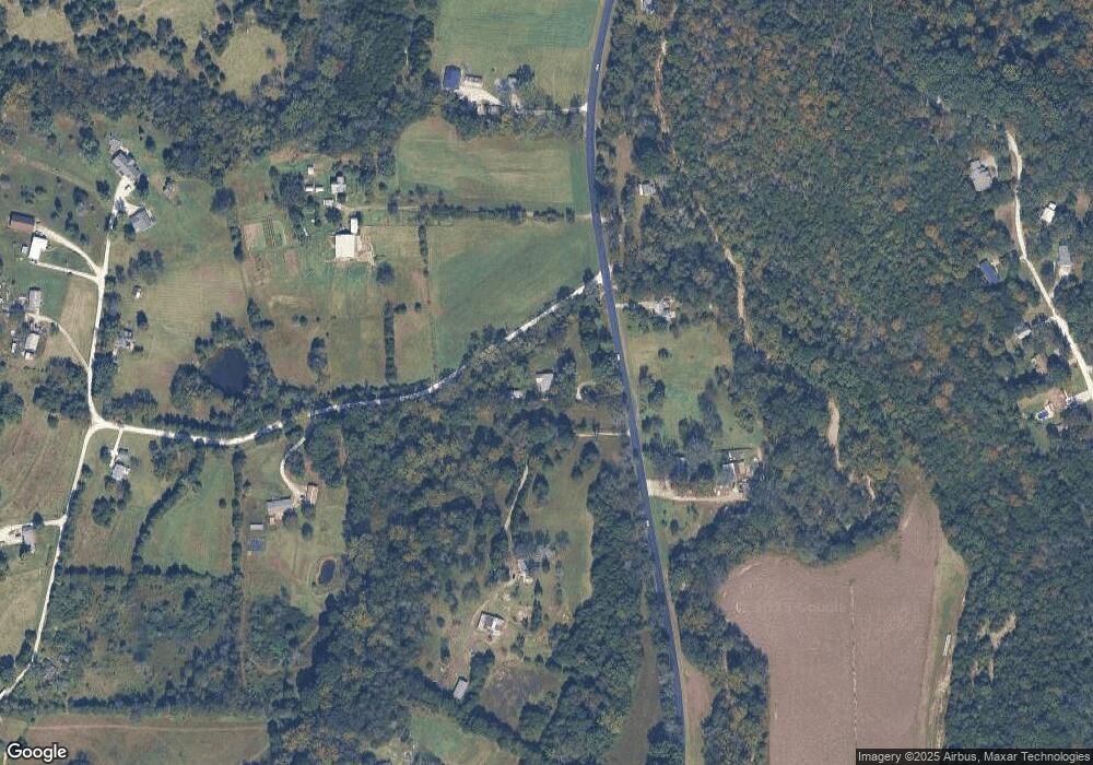
Map
Nearby Homes
- 0 Woodland Valley Dr Unit MAR25002747
- 563 Calvey Heights Ct
- 0 Watts Ridge Dr
- 4143 Highway N
- 5199 Highway N
- 175 Enchanted Oak Ct
- 0 Stone Ridge Rd Unit MAR25025168
- 1320 & 1330 Lake Shore Dr
- 4114 Evergreen St
- 4123 Evergreen St
- 4134 Evergreen St
- Lots 14&15 Evergreen St
- 4150 S Shore Dr
- 4420 & 4424 S Shore Dr
- 4412 & 4416 S Shore Dr
- 4268 & 4272 S Shore Dr
- 4284 & 4288 S Shore Dr
- 4276 & 4280 S Shore Dr
- 4186 S Shore Dr
- 4061 Elm Dr
- 4780 Highway N
- 4796 Highway N
- 4758 Highway N
- 4773 Highway N
- 4793 Highway N
- 4737 Highway N
- 4737 Highway N
- 644 Hillview Dr
- 4714 Highway N
- 4908 Tammy Ln
- 647 Robbie Ln
- 4922 Tammy Ln
- 4930 Tammy Ln
- 837 Woodland Hills Dr
- 4857 Highway N
- 4900 Tammy Ln
- 847 Woodland Hills Dr
- 819 Woodland Hills Dr
- 0 Woodland Hills Dr
- 853 Woodland Hills Dr