Estimated Value: $390,000 - $701,000
4
Beds
2
Baths
2,800
Sq Ft
$169/Sq Ft
Est. Value
About This Home
This home is located at 47835 Ke Rd, Mesa, CO 81643 and is currently estimated at $472,376, approximately $168 per square foot. 47835 Ke Rd is a home located in Mesa County with nearby schools including Plateau Valley Elementary School, Plateau Valley Middle School, and Plateau Valley High School.
Ownership History
Date
Name
Owned For
Owner Type
Purchase Details
Closed on
Jan 19, 2021
Sold by
Harvey Judith Ann
Bought by
Harvey Ethan
Current Estimated Value
Home Financials for this Owner
Home Financials are based on the most recent Mortgage that was taken out on this home.
Original Mortgage
$277,233
Outstanding Balance
$247,431
Interest Rate
2.71%
Mortgage Type
VA
Estimated Equity
$224,945
Purchase Details
Closed on
Mar 29, 2001
Sold by
Ann Harold R Harvey Judith
Bought by
Harvey Harold R and Harvey Judith Ann
Create a Home Valuation Report for This Property
The Home Valuation Report is an in-depth analysis detailing your home's value as well as a comparison with similar homes in the area
Purchase History
| Date | Buyer | Sale Price | Title Company |
|---|---|---|---|
| Harvey Ethan | $271,000 | Land Title Guarantee Co | |
| Harvey Harold R | -- | -- |
Source: Public Records
Mortgage History
| Date | Status | Borrower | Loan Amount |
|---|---|---|---|
| Open | Harvey Ethan | $277,233 |
Source: Public Records
Tax History
| Year | Tax Paid | Tax Assessment Tax Assessment Total Assessment is a certain percentage of the fair market value that is determined by local assessors to be the total taxable value of land and additions on the property. | Land | Improvement |
|---|---|---|---|---|
| 2024 | $242 | $4,320 | $90 | $4,230 |
| 2023 | $242 | $4,320 | $90 | $4,230 |
| 2022 | $425 | $9,560 | $90 | $9,470 |
| 2021 | $238 | $9,840 | $100 | $9,740 |
| 2020 | $224 | $9,570 | $100 | $9,470 |
| 2019 | $199 | $9,570 | $100 | $9,470 |
| 2018 | $308 | $12,230 | $90 | $12,140 |
| 2017 | $297 | $12,230 | $90 | $12,140 |
| 2016 | $320 | $13,100 | $80 | $13,020 |
Source: Public Records
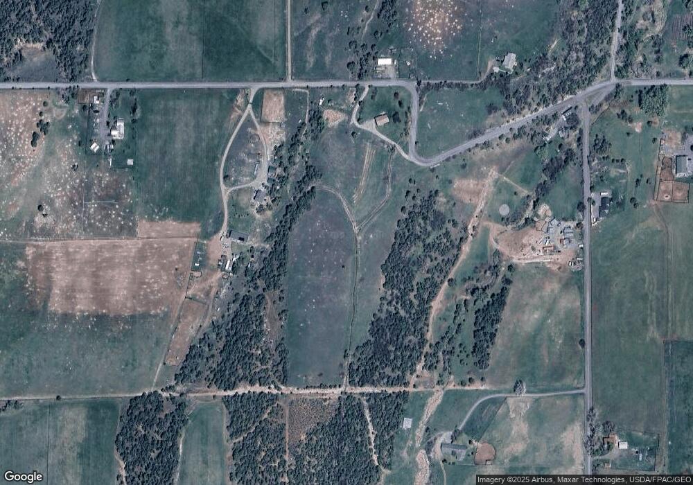
Map
Nearby Homes
- 48751 Cool Creek Dr
- 48933 Gaia Dr
- 48989 Gaia Dr
- 10959 Mesa St
- (Parcel 7) TBD Colorado 65
- (Parcel 6) TBD Colorado 65
- 10008 Colorado 65
- 11055 Colorado 65
- 49067 Ke Rd
- 49091 Ke Rd
- 9440 48 2 10 Rd
- 51755 Ke Rd
- 49594 Ke Rd
- 10479 50 Rd
- 49131 Rd
- 50200 Eagles Way
- 50158 Eagles Way
- TBD Lot 4 Tbd Unit 4
- TBD Ke Rd
- tbd Tbd
- 47920 Ke Rd
- 47637 Ke Rd
- 10389 Ke Rd Unit 48
- 48055 Ke Rd
- 47607 Ke Rd
- 48024 Not Assigned
- 10253 Ke Rd Unit 48
- 48011 Ke Rd
- 10253-10248 48 Rd
- 47754 Ke Rd
- 48086 Ke Rd
- 10253 48 Rd
- 10198 Ke Rd Unit 48
- 10077 48 Rd
- 47417 Ke Rd
- 47417 Ke Rd Unit 40 acres
- 48231 Ke Rd
- 48177 Ke Rd
- 10077 Ke Rd Unit 48
- 10075 Ke Rd Unit 48
Your Personal Tour Guide
Ask me questions while you tour the home.