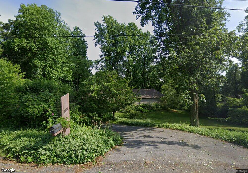
4784 S Mountain Dr Emmaus, PA 18049
Upper Milford Township NeighborhoodEstimated Value: $346,000 - $398,189
3
Beds
2
Baths
1,554
Sq Ft
$244/Sq Ft
Est. Value
About This Home
This home is located at 4784 S Mountain Dr, Emmaus, PA 18049 and is currently estimated at $379,797, approximately $244 per square foot. 4784 S Mountain Dr is a home located in Lehigh County with nearby schools including Lincoln Elementary School, Lower Macungie Middle School, and Emmaus High School.
Ownership History
Date
Name
Owned For
Owner Type
Purchase Details
Closed on
Dec 10, 2002
Sold by
Salasky Robert and Salasky Melanie J
Bought by
Barker Charles A and Barker Donna G
Current Estimated Value
Home Financials for this Owner
Home Financials are based on the most recent Mortgage that was taken out on this home.
Original Mortgage
$165,000
Outstanding Balance
$70,518
Interest Rate
6.17%
Mortgage Type
Purchase Money Mortgage
Estimated Equity
$309,279
Purchase Details
Closed on
Aug 15, 1986
Sold by
Reinhart James and Labaty Linda M
Bought by
Slaky Robert and Slaky Melanie J
Purchase Details
Closed on
Jun 10, 1981
Bought by
Reinhart James and Labaty Linda M
Create a Home Valuation Report for This Property
The Home Valuation Report is an in-depth analysis detailing your home's value as well as a comparison with similar homes in the area
Home Values in the Area
Average Home Value in this Area
Purchase History
| Date | Buyer | Sale Price | Title Company |
|---|---|---|---|
| Barker Charles A | $265,000 | -- | |
| Slaky Robert | $156,000 | -- | |
| Reinhart James | $18,900 | -- |
Source: Public Records
Mortgage History
| Date | Status | Borrower | Loan Amount |
|---|---|---|---|
| Open | Barker Charles A | $165,000 |
Source: Public Records
Tax History Compared to Growth
Tax History
| Year | Tax Paid | Tax Assessment Tax Assessment Total Assessment is a certain percentage of the fair market value that is determined by local assessors to be the total taxable value of land and additions on the property. | Land | Improvement |
|---|---|---|---|---|
| 2025 | $5,175 | $202,700 | $68,300 | $134,400 |
| 2024 | $4,946 | $202,700 | $68,300 | $134,400 |
| 2023 | $4,846 | $202,700 | $68,300 | $134,400 |
| 2022 | $4,730 | $202,700 | $134,400 | $68,300 |
| 2021 | $4,628 | $202,700 | $68,300 | $134,400 |
| 2020 | $4,583 | $202,700 | $68,300 | $134,400 |
| 2019 | $4,555 | $202,700 | $68,300 | $134,400 |
| 2018 | $4,438 | $202,700 | $68,300 | $134,400 |
| 2017 | $4,360 | $202,700 | $68,300 | $134,400 |
| 2016 | -- | $202,700 | $68,300 | $134,400 |
| 2015 | -- | $202,700 | $68,300 | $134,400 |
| 2014 | -- | $202,700 | $68,300 | $134,400 |
Source: Public Records
Map
Nearby Homes
- 97 Chestnut Hill Rd
- 339 Delong Ave Unit 343
- 521 Wood St
- 618 Broad St
- 659 Broad St
- 4160 Newport Dr
- 4285 Taviston Ct E
- 4290 Taviston Ct E
- 2571 Brunner Rd
- 4314 Taviston Ct E
- 569 Chestnut St Unit 571
- 4338 Taviston Ct E Unit Homesite 26
- 5065 Maple Ridge Way
- 657 Walnut St
- 5095 Maple Ridge Way Unit Homesite 13
- 4109 Eveningstar Rd
- 3430 Gentlewind Way Unit IC 109
- 4441 Taviston Ct E
- Helena Plan at The Estates at Maple Ridge - Estate Series
- Anderson Plan at The Estates at Maple Ridge - Estate Series
- 4802 S Mountain Dr
- 4758 S Mountain Dr
- 4785 S Mountain Dr
- 4826 S Mountain Dr
- 4706 S Mountain Dr
- 4732 S Mountain Dr
- 4862 S Mountain Dr
- 4745 S Mountain Dr
- 4811 S Mountain Dr
- 4886 S Mountain Dr
- 4678 S Mountain Dr
- 4650 S Mountain Dr
- 4888 S Mountain Dr
- 4894 S Mountain Dr
- 4701 S Mountain Dr
- 4951 S Mountain Dr
- 4892 S Mountain Dr
- 4615 S Mountain Dr
- 4981 S Mountain Dr
- 3827 Quarry Dr