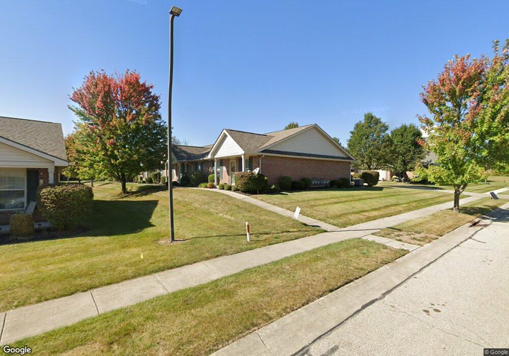
4785 Cornell St Springfield, OH 45503
Estimated Value: $168,000 - $174,472
2
Beds
2
Baths
1,124
Sq Ft
$153/Sq Ft
Est. Value
About This Home
This home is located at 4785 Cornell St, Springfield, OH 45503 and is currently estimated at $171,618, approximately $152 per square foot. 4785 Cornell St is a home located in Clark County with nearby schools including Northridge Elementary School, Kenton Ridge Middle & High School, and Emmanuel Christian Academy.
Ownership History
Date
Name
Owned For
Owner Type
Purchase Details
Closed on
Jul 20, 2016
Sold by
Sowards Caleb Joseph and Sowards Nancy
Bought by
Smith Roger H and Smith Sally A
Current Estimated Value
Purchase Details
Closed on
Dec 21, 2011
Sold by
Sowards Nancy
Bought by
Sowards Caleb Joseph
Purchase Details
Closed on
Jul 18, 2007
Sold by
Hoppes Builders & Development Co
Bought by
Sowards Nancy and Caleb Joseph Sowards Trust
Create a Home Valuation Report for This Property
The Home Valuation Report is an in-depth analysis detailing your home's value as well as a comparison with similar homes in the area
Home Values in the Area
Average Home Value in this Area
Purchase History
| Date | Buyer | Sale Price | Title Company |
|---|---|---|---|
| Smith Roger H | $89,000 | Ohio Real Estate Title | |
| Sowards Caleb Joseph | -- | None Available | |
| Sowards Nancy | $104,900 | Attorney |
Source: Public Records
Tax History
| Year | Tax Paid | Tax Assessment Tax Assessment Total Assessment is a certain percentage of the fair market value that is determined by local assessors to be the total taxable value of land and additions on the property. | Land | Improvement |
|---|---|---|---|---|
| 2025 | $1,558 | $58,580 | $9,630 | $48,950 |
| 2024 | $1,533 | $45,420 | $6,830 | $38,590 |
| 2023 | $1,533 | $45,420 | $6,830 | $38,590 |
| 2022 | $1,556 | $45,420 | $6,830 | $38,590 |
| 2021 | $1,098 | $30,670 | $5,250 | $25,420 |
| 2020 | $1,099 | $30,670 | $5,250 | $25,420 |
| 2019 | $1,120 | $30,670 | $5,250 | $25,420 |
| 2018 | $1,085 | $29,130 | $6,090 | $23,040 |
| 2017 | $929 | $35,252 | $6,090 | $29,162 |
| 2016 | $1,356 | $35,252 | $6,090 | $29,162 |
| 2015 | $800 | $36,162 | $7,000 | $29,162 |
| 2014 | $641 | $36,162 | $7,000 | $29,162 |
| 2013 | $843 | $36,162 | $7,000 | $29,162 |
Source: Public Records
Map
Nearby Homes
- 4802 Willowbrook Dr
- 1709 Thomas Dr
- 5033 Ridgewood Rd E
- 4741 Cullen Ave
- 4652 Reno Ln Unit 15
- 4577 Reno Ln Unit 2
- 4446 Ridgewood Rd E Unit 3
- 1521 Erika Dr
- 1341 Student Ave
- 4256 Midfield St Unit 9
- 4343 Burchill St
- 862 Brendle Trace Unit 20
- 5564 Ridgewood Rd E Unit 7
- 5564 Ridgewood Rd W
- 1707 Berwick Dr
- 5722 Victorian Way Unit 31
- 593 Hiser Ave
- 1836 Dunseth Ln
- 1812 Willow Lakes Dr
- 4500 Bosart Rd
- 4787 Cornell St
- 4783 Cornell St Unit 4783
- 4789 Cornell St Unit 4789
- 4791 Cornell St Unit 4791
- 4773 Cornell St
- 4773 Cornell St
- 4773 Cornell St Unit 4773
- 4773 Cornell St
- 4771 Cornell St Unit 4771
- 4775 Cornell St Unit 4775
- 4777 Cornell St Unit 4777
- 4777 Cornell St
- 4777 Cornell St
- 4793 Cornell St Unit 4793
- 4779 Cornell St Unit 4779
- 4779 Cornell St
- 4781 Cornell St
- 4769 Cornell St Unit 4769
- 4769 Cornell St
- 4815 Cornell St
Your Personal Tour Guide
Ask me questions while you tour the home.