478544 Highway 95 Sandpoint, ID 83864
Estimated Value: $509,856
--
Bed
--
Bath
3,800
Sq Ft
$134/Sq Ft
Est. Value
About This Home
This home is located at 478544 Highway 95, Sandpoint, ID 83864 and is currently estimated at $509,856, approximately $134 per square foot. 478544 Highway 95 is a home located in Bonner County with nearby schools including Farmin Stidwell Elementary School, Sandpoint Middle School, and Sandpoint High School.
Ownership History
Date
Name
Owned For
Owner Type
Purchase Details
Closed on
Dec 3, 2024
Sold by
Hardacre Family Trust and Hardacre Pamela Anne
Bought by
Hardacre Pam
Current Estimated Value
Purchase Details
Closed on
Mar 14, 2019
Sold by
Mcginn Carrie
Bought by
630 North Llc
Home Financials for this Owner
Home Financials are based on the most recent Mortgage that was taken out on this home.
Original Mortgage
$250,000
Interest Rate
4.3%
Mortgage Type
Commercial
Purchase Details
Closed on
Dec 21, 2017
Sold by
Cen Properties Usa Llc
Bought by
Mcginn Carrie
Purchase Details
Closed on
Aug 15, 2013
Sold by
Birkhimer Onward L and Birkhimer Ann H
Bought by
Cen Properties Usa Llc
Purchase Details
Closed on
Jan 31, 2007
Sold by
Birkhimer Onward L and Birkhimer Ann H
Bought by
Birkhimer Onward L and Birkhimer Living Trust
Create a Home Valuation Report for This Property
The Home Valuation Report is an in-depth analysis detailing your home's value as well as a comparison with similar homes in the area
Home Values in the Area
Average Home Value in this Area
Purchase History
| Date | Buyer | Sale Price | Title Company |
|---|---|---|---|
| Hardacre Pam | -- | Alliance Title | |
| 630 North Llc | -- | Alliance Title Sandpoint | |
| Mcginn Carrie | $68,420 | None Available | |
| Cen Properties Usa Llc | -- | Sandpoint Title Insurance | |
| Birkhimer Onward L | -- | -- |
Source: Public Records
Mortgage History
| Date | Status | Borrower | Loan Amount |
|---|---|---|---|
| Previous Owner | 630 North Llc | $250,000 |
Source: Public Records
Tax History Compared to Growth
Tax History
| Year | Tax Paid | Tax Assessment Tax Assessment Total Assessment is a certain percentage of the fair market value that is determined by local assessors to be the total taxable value of land and additions on the property. | Land | Improvement |
|---|---|---|---|---|
| 2025 | $3,675 | $563,482 | $269,856 | $293,626 |
| 2024 | $3,818 | $564,162 | $269,856 | $294,306 |
| 2023 | $3,879 | $538,164 | $269,856 | $268,308 |
| 2022 | $3,209 | $417,589 | $269,856 | $147,733 |
| 2021 | $3,143 | $309,825 | $179,904 | $129,921 |
| 2020 | $3,304 | $306,673 | $179,904 | $126,769 |
| 2019 | $3,562 | $307,513 | $179,904 | $127,609 |
| 2018 | $3,208 | $307,345 | $179,904 | $127,441 |
| 2017 | $3,208 | $268,372 | $0 | $0 |
| 2016 | $3,253 | $268,372 | $0 | $0 |
| 2015 | -- | $270,382 | $0 | $0 |
| 2014 | -- | $270,382 | $0 | $0 |
Source: Public Records
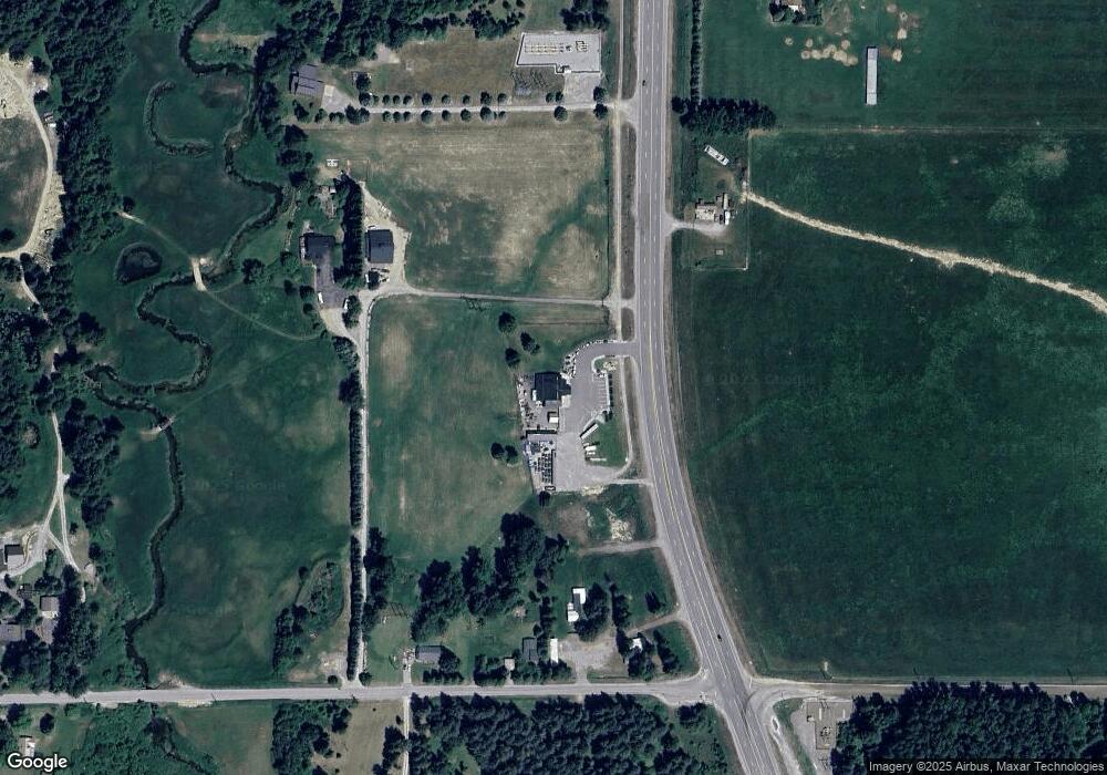
Map
Nearby Homes
- 478338 Highway 95
- 114 Shadow Mountain Rd
- 35 Shadow Mountain Rd
- 477545 U S Route 95
- 94 Alpine Dr
- 466 Rincon
- 228 Snowgoose Ln Unit 8
- 294 Rincon Dr
- Lot 1 Starr Ln
- 4310 Burns Ct
- 4303 Burns Ct
- 0 Nna Rogers Rd
- 0 Cottage Island Unit 25-8394
- 0 Cottage Island Unit 20252173
- 116 Dustarr Ln
- Lot 13 Dustarr Ln
- 4110 Burns Ct
- LOT 2 Dustarr Ln
- LOT 10 Dustarr Ln
- Lot 3 Dustarr Ln
- 157 W Bronx Rd
- 59 Bronx
- 89 W Bronx Rd
- 59 W Bronx Rd
- 135 W Bronx Rd
- 478654 Highway 95
- 47865 8 Highway 95
- 0 Nna Hwy 95 N Unit 16-7826
- 478658 Highway 95
- 478658 Highway 95
- 478658 Highway 95
- 478653 U S Route 95
- 478338 Highway 95
- 478338 Highway 95
- 478724 Highway 95
- 136 W Bronx Rd
- 478278 Highway 95
- 299 W Bronx Rd
- NKA Highway 95
- 334 W Bronx Rd