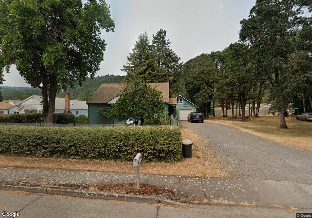
47869 W Commercial St Unit VRM Oakridge, OR 97463
Estimated Value: $276,000 - $287,000
3
Beds
1
Bath
1,428
Sq Ft
$199/Sq Ft
Est. Value
About This Home
This home is located at 47869 W Commercial St Unit VRM, Oakridge, OR 97463 and is currently estimated at $284,000, approximately $198 per square foot. 47869 W Commercial St Unit VRM is a home located in Lane County with nearby schools including Oakridge Elementary School, Oakridge Junior High School, and Oakridge High School.
Ownership History
Date
Name
Owned For
Owner Type
Purchase Details
Closed on
Jul 3, 2006
Sold by
Kiefer Gary R and Kiefer Glenda
Bought by
Dexpro Llc
Current Estimated Value
Purchase Details
Closed on
Jul 13, 2005
Sold by
Purvis William W and Purvis Judy A
Bought by
Kiefer Gary R and Kiefer Glenda
Purchase Details
Closed on
Mar 4, 2002
Sold by
Westling John and Bost Carol
Bought by
Purvis William W and Purvis Judy A
Purchase Details
Closed on
Feb 17, 1998
Sold by
Westling John and Bost Carol
Bought by
Westling John and Bost Carol
Create a Home Valuation Report for This Property
The Home Valuation Report is an in-depth analysis detailing your home's value as well as a comparison with similar homes in the area
Home Values in the Area
Average Home Value in this Area
Purchase History
| Date | Buyer | Sale Price | Title Company |
|---|---|---|---|
| Dexpro Llc | $142,000 | Cascade Title Co | |
| Kiefer Gary R | $110,000 | Cascade Title Co | |
| Purvis William W | $78,000 | Cascade Title Co | |
| Westling John | -- | -- |
Source: Public Records
Tax History Compared to Growth
Tax History
| Year | Tax Paid | Tax Assessment Tax Assessment Total Assessment is a certain percentage of the fair market value that is determined by local assessors to be the total taxable value of land and additions on the property. | Land | Improvement |
|---|---|---|---|---|
| 2024 | $2,028 | $122,908 | -- | -- |
| 2023 | $2,028 | $119,329 | $0 | $0 |
| 2022 | $1,888 | $115,854 | $0 | $0 |
| 2021 | $1,833 | $112,480 | $0 | $0 |
| 2020 | $1,770 | $109,204 | $0 | $0 |
| 2019 | $1,705 | $106,024 | $0 | $0 |
| 2018 | $1,643 | $99,938 | $0 | $0 |
| 2017 | $1,574 | $99,938 | $0 | $0 |
| 2016 | $1,543 | $97,027 | $0 | $0 |
| 2015 | $1,498 | $94,201 | $0 | $0 |
| 2014 | $1,499 | $91,457 | $0 | $0 |
Source: Public Records
Map
Nearby Homes
- 47861 Commercial St
- 47880 W 2nd St
- 47947 Commercial St
- 47785 Chubb Ct
- 0 W 2nd St Unit 500 220207638
- 0 W 2nd St
- 47711 Commercial St
- 48015 W 2nd St
- 47706 Highway 58
- 48017 Oregon 58
- 47696 W 1st St
- 0 Christel Ln Unit 16675180
- 0 Christel Ln Unit 16539284
- 0 Christel Ln Unit 16441517
- 0 Christel Ln Unit 16367961
- 0 Christel Ln Unit 16224102
- 0 Christel Ln Unit 16081525
- 76348 Christel Ln
- 47666 W 1st St
- 47775 Berry St Unit D6
- 47869 Commercial St
- 47887 Commercial St
- 47874 W 1st St
- 47880 W 1st St
- 76463 Poplar St
- 47866 W 1st St
- 47886 W 1st St
- 76475 Poplar St
- 47896 W 1st St
- 47899 Commercial St
- 47841 Commercial St
- 47904 W 1st St
- 76476 Poplar St
- 47877 W 1st St
- 47871 W 1st St
- 47885 W 1st St
- 47865 W 1st St
- 76482 Poplar St
- 47833 Commercial St
- 47910 W 1st St