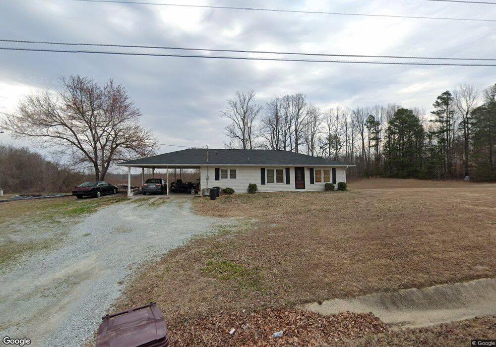
479 Allie Clay Rd Roxboro, NC 27573
Estimated Value: $160,000 - $205,000
3
Beds
1
Bath
1,260
Sq Ft
$148/Sq Ft
Est. Value
About This Home
This home is located at 479 Allie Clay Rd, Roxboro, NC 27573 and is currently estimated at $186,292, approximately $147 per square foot. 479 Allie Clay Rd is a home located in Person County with nearby schools including Person High School, Roxboro Community School, and Roxboro Christian Academy.
Ownership History
Date
Name
Owned For
Owner Type
Purchase Details
Closed on
Nov 11, 2011
Sold by
Morris Jonathan E
Bought by
Morris Tracy S
Current Estimated Value
Purchase Details
Closed on
Nov 17, 2009
Sold by
Rockwell Kenneth Ray and Rockwell Carol
Bought by
Morris Tracy S and Morris Jonathan E
Home Financials for this Owner
Home Financials are based on the most recent Mortgage that was taken out on this home.
Original Mortgage
$95,377
Outstanding Balance
$62,054
Interest Rate
4.93%
Mortgage Type
New Conventional
Estimated Equity
$124,238
Create a Home Valuation Report for This Property
The Home Valuation Report is an in-depth analysis detailing your home's value as well as a comparison with similar homes in the area
Home Values in the Area
Average Home Value in this Area
Purchase History
| Date | Buyer | Sale Price | Title Company |
|---|---|---|---|
| Morris Tracy S | -- | None Available | |
| Morris Tracy S | $94,000 | -- |
Source: Public Records
Mortgage History
| Date | Status | Borrower | Loan Amount |
|---|---|---|---|
| Open | Morris Tracy S | $95,377 |
Source: Public Records
Tax History Compared to Growth
Tax History
| Year | Tax Paid | Tax Assessment Tax Assessment Total Assessment is a certain percentage of the fair market value that is determined by local assessors to be the total taxable value of land and additions on the property. | Land | Improvement |
|---|---|---|---|---|
| 2025 | $1,256 | $186,521 | $0 | $0 |
| 2024 | $837 | $107,533 | $0 | $0 |
| 2023 | $837 | $107,533 | $0 | $0 |
| 2022 | $834 | $107,533 | $0 | $0 |
| 2021 | $810 | $107,533 | $0 | $0 |
| 2020 | $679 | $90,037 | $0 | $0 |
| 2019 | $688 | $90,037 | $0 | $0 |
| 2018 | $645 | $90,037 | $0 | $0 |
| 2017 | $636 | $90,037 | $0 | $0 |
| 2016 | $636 | $90,037 | $0 | $0 |
| 2015 | $636 | $90,037 | $0 | $0 |
| 2014 | $636 | $90,037 | $0 | $0 |
Source: Public Records
Map
Nearby Homes
- Lot 24 Turtle Hill Ct
- 125 James and McGhees Dr
- 137 Lillian Ct
- 140 Lillian Ct
- 129 Lillian Ct
- 234 Lillian Ct
- 209 Lillian Ct
- 191 Lillian Ct
- 176 Lillian Ct
- 245 Lillian Ct
- 248 Lillian Ct
- 155 Lillian Ct
- 227 Lillian Ct
- 15 Lillian Ct
- Sequoia Plan at Highland Place - Freedom Series
- Everglades Plan at Highland Place - Freedom Series
- Yosemite Plan at Highland Place - Freedom Series
- Shenandoah Plan at Highland Place - Freedom Series
- Glacier Plan at Highland Place - Freedom Series
- Redwood Plan at Highland Place - Freedom Series
- 276 Allie Clay Rd
- 400 Allie Clay Rd
- 90 Turtle Hill Ct
- 24 Turtle Hill Ct
- 35 Trickling Branch Rd
- 591 Allie Clay Rd
- 320 Allie Clay Rd
- 610 Allie Clay Rd
- Lot 27 Turtle Hill Ct
- 27 Turtle Hill Ct
- 0 Turtle Hill Ct Unit TR2132745
- 0 Turtle Hill Ct
- 0 Turtle Hill Ln Unit 1605997
- 0 Turtle Hill Ln Unit 18 TR1605997
- 170 Turtle Hill Ct
- 88 Red Clay Rd
- 156 Red Clay Rd
- 82 Community Vale Rd
- 730 Allie Clay Rd
- 247 Turtle Hill Ct