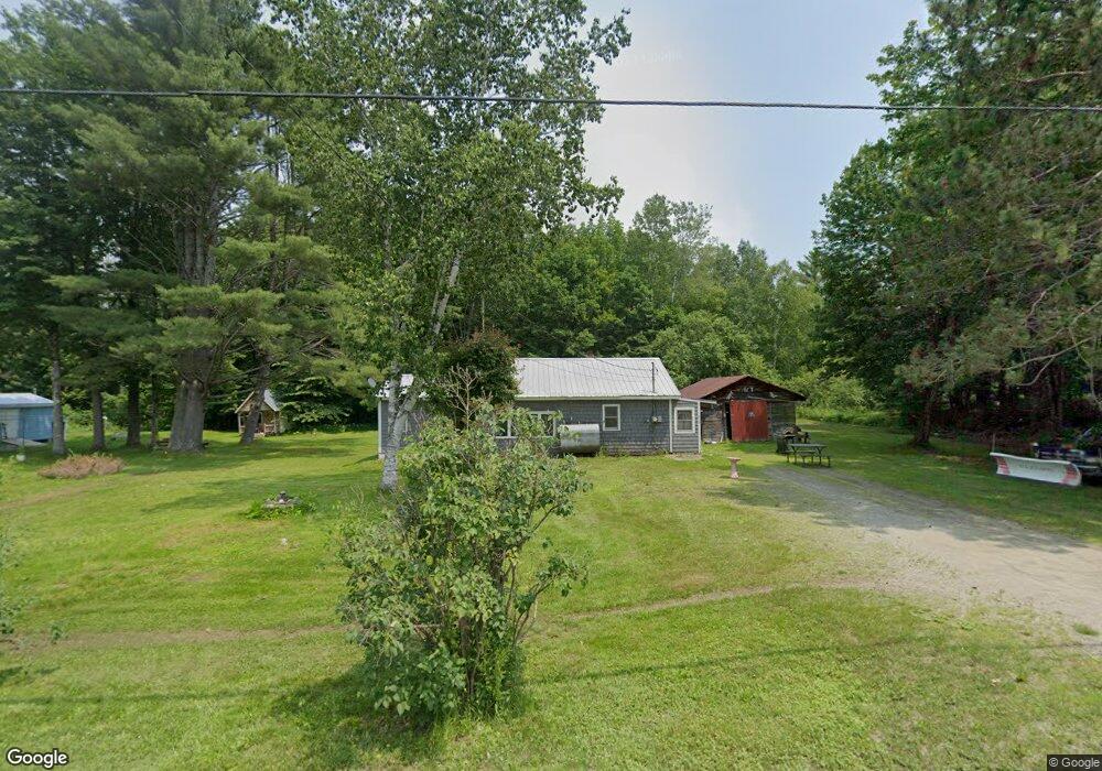
479 Campground Rd North Anson, ME 04958
Estimated Value: $100,733 - $253,000
--
Bed
--
Bath
--
Sq Ft
0.42
Acres
About This Home
This home is located at 479 Campground Rd, North Anson, ME 04958 and is currently estimated at $188,933. 479 Campground Rd is a home.
Create a Home Valuation Report for This Property
The Home Valuation Report is an in-depth analysis detailing your home's value as well as a comparison with similar homes in the area
Home Values in the Area
Average Home Value in this Area
Tax History Compared to Growth
Tax History
| Year | Tax Paid | Tax Assessment Tax Assessment Total Assessment is a certain percentage of the fair market value that is determined by local assessors to be the total taxable value of land and additions on the property. | Land | Improvement |
|---|---|---|---|---|
| 2024 | $896 | $54,610 | $19,820 | $34,790 |
| 2023 | $780 | $41,060 | $14,900 | $26,160 |
| 2022 | $739 | $41,060 | $14,900 | $26,160 |
| 2021 | $741 | $35,710 | $12,960 | $22,750 |
| 2020 | $795 | $35,710 | $12,960 | $22,750 |
| 2019 | $786 | $35,710 | $12,960 | $22,750 |
| 2018 | $749 | $35,710 | $12,960 | $22,750 |
| 2017 | $714 | $35,710 | $12,960 | $22,750 |
| 2016 | $675 | $35,710 | $12,960 | $22,750 |
| 2015 | $714 | $35,710 | $12,960 | $22,750 |
| 2014 | $714 | $35,710 | $12,960 | $22,750 |
| 2013 | $700 | $35,710 | $12,960 | $22,750 |
Source: Public Records
Map
Nearby Homes
- 483 Campground Rd
- 476 Campground Rd
- 469 Campground Rd
- 488 Campground Rd
- 457 Campground Rd
- 503 Campground Rd
- 456 Campground Rd
- 511 Campground Rd
- 8 Dover Ln
- 30 Dover Ln
- M18 L14-4 Jones Ln
- 417 Campground Rd
- tbd Pullen Corner Rd
- 396 Campground Rd
- 395 Campground Rd
- 561 Campground Rd
- 370 Campground Rd
- 190 Pullen Corner Rd
- M15 L44D Pullen Corner Rd
- 175 Pullen Corner Rd