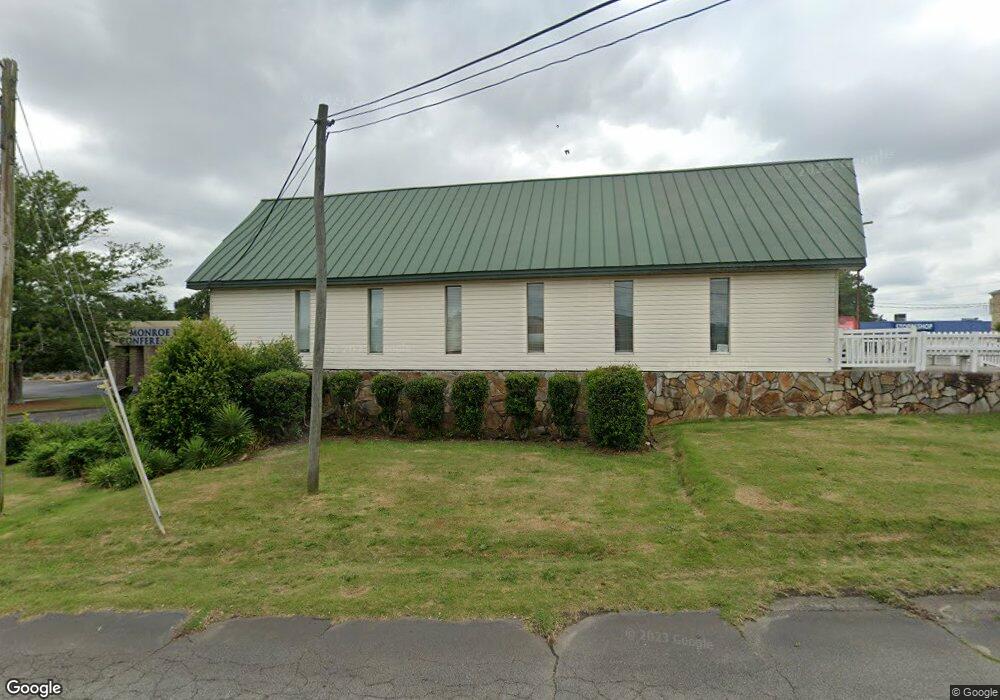
479 Holiday Cir Forsyth, GA 31029
Estimated Value: $227,131
--
Bed
--
Bath
3,600
Sq Ft
$63/Sq Ft
Est. Value
About This Home
This home is located at 479 Holiday Cir, Forsyth, GA 31029 and is currently estimated at $227,131, approximately $63 per square foot. 479 Holiday Cir is a home located in Monroe County with nearby schools including T.G. Scott Elementary School, Mary Persons High School, and Lighthouse Academy.
Ownership History
Date
Name
Owned For
Owner Type
Purchase Details
Closed on
May 17, 2022
Sold by
Shavasana Llc
Bought by
Spears Alphie L and Spears Linda C
Current Estimated Value
Home Financials for this Owner
Home Financials are based on the most recent Mortgage that was taken out on this home.
Original Mortgage
$196,200
Outstanding Balance
$111,273
Interest Rate
5%
Mortgage Type
New Conventional
Estimated Equity
$115,858
Purchase Details
Closed on
Oct 22, 2018
Sold by
Treadwell Cheryl L
Bought by
Shavasana Llc
Purchase Details
Closed on
Dec 29, 2008
Sold by
Not Provided
Bought by
Treadwell Cheryl L
Purchase Details
Closed on
Feb 27, 1990
Sold by
Treadwell Jack L
Bought by
Treadwell Shirley M
Create a Home Valuation Report for This Property
The Home Valuation Report is an in-depth analysis detailing your home's value as well as a comparison with similar homes in the area
Home Values in the Area
Average Home Value in this Area
Purchase History
| Date | Buyer | Sale Price | Title Company |
|---|---|---|---|
| Spears Alphie L | $211,200 | -- | |
| Shavasana Llc | -- | -- | |
| Treadwell Cheryl L | -- | -- | |
| Treadwell Cheryl L | -- | -- | |
| Treadwell Shirley M | $90,000 | -- |
Source: Public Records
Mortgage History
| Date | Status | Borrower | Loan Amount |
|---|---|---|---|
| Open | Spears Alphie L | $196,200 |
Source: Public Records
Tax History Compared to Growth
Tax History
| Year | Tax Paid | Tax Assessment Tax Assessment Total Assessment is a certain percentage of the fair market value that is determined by local assessors to be the total taxable value of land and additions on the property. | Land | Improvement |
|---|---|---|---|---|
| 2024 | $2,453 | $81,368 | $15,840 | $65,528 |
| 2023 | $2,361 | $81,368 | $15,840 | $65,528 |
| 2022 | $2,406 | $81,368 | $15,840 | $65,528 |
| 2021 | $2,309 | $75,648 | $15,840 | $59,808 |
| 2020 | $1,016 | $32,008 | $15,840 | $16,168 |
| 2019 | $1,023 | $32,008 | $15,840 | $16,168 |
| 2018 | $1,026 | $32,008 | $15,840 | $16,168 |
| 2017 | $1,026 | $32,008 | $15,840 | $16,168 |
| 2016 | $835 | $27,248 | $11,080 | $16,168 |
| 2015 | $796 | $27,248 | $11,080 | $16,168 |
| 2014 | $778 | $27,048 | $11,080 | $15,968 |
Source: Public Records
Map
Nearby Homes
- 0 Patrol Rd Unit 10473001
- 4580 Capulet Ct
- 2022 Highway 41 N
- 285 E Main St
- 436 Magnolia Ct
- 0 Benson Ham Rd Unit OUTPARCEL 1 10551782
- 0 Benson Ham Rd Unit OUTPARCEL 2 10558340
- 101 E Chambers St
- Cypress Plan at Juliette Crossing
- Jackson Plan at Juliette Crossing
- Cannaberra Plan at Juliette Crossing
- Oakwood Plan at Juliette Crossing
- Delilah Plan at Juliette Crossing
- Maple Plan at Juliette Crossing
- Hawthorne Plan at Juliette Crossing
- Harrison Plan at Juliette Crossing
- Camden Plan at Juliette Crossing
- Ash II Plan at Juliette Crossing
- Belmont Plan at Juliette Crossing
- Dogwood Plan at Juliette Crossing
- 0 Belmont St Unit 80 7524292
- 0 Patrol Rd Unit 10386791
- 0 Patrol Rd Unit 156189
- 0 Patrol Rd Unit 8857320
- 0 Patrol Rd
- 553 Patrol Rd
- 600 Holiday Cir
- 515 Patrol Rd
- 0 Tift College Dr Unit B 127543
- 0 Tift College Dr Unit M166781
- 0 Tift College Dr Unit 224744
- 0 Tift College Dr Unit 20060077
- 0 Tift College Dr Unit 3261177
- 0 Tift College Dr Unit B 7331438
- 0 Tift College Dr Unit B M127543
- I75 and Holiday Cir
- 507 Patrol Rd
- 415 Tift College Dr
- 0 Juliette Rd
- 0 Juliette Rd Unit 8031823