Estimated Value: $210,000 - $248,000
3
Beds
2
Baths
1,438
Sq Ft
$161/Sq Ft
Est. Value
About This Home
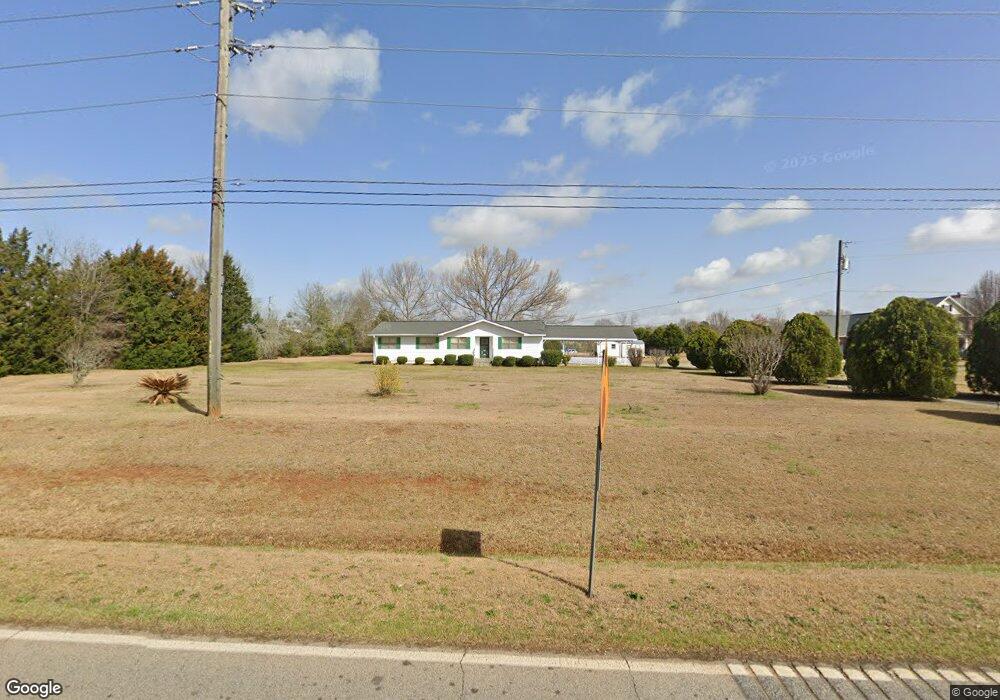
This home is located at 479 Langston Rd, Perry, GA 31069 and is currently estimated at $230,942, approximately $160 per square foot. 479 Langston Rd is a home located in Houston County with nearby schools including Langston Road Elementary School, Mossy Creek Middle School, and Perry High School.
Ownership History
Date
Name
Owned For
Owner Type
Purchase Details
Closed on
Dec 26, 1993
Sold by
Simmons Willie J and Sarah Jean*
Bought by
Simmons Sarah Jean
Current Estimated Value
Purchase Details
Closed on
Dec 13, 1991
Sold by
Williams Earley R and Bernice H*
Bought by
Simmons Willie J and Sarah Jean*
Purchase Details
Closed on
Dec 21, 1983
Sold by
Johnson Richard A
Bought by
Williams Earley R and Bernice H*
Create a Home Valuation Report for This Property
The Home Valuation Report is an in-depth analysis detailing your home's value as well as a comparison with similar homes in the area
Home Values in the Area
Average Home Value in this Area
Purchase History
| Date | Buyer | Sale Price | Title Company |
|---|---|---|---|
| Simmons Sarah Jean | -- | -- | |
| Simmons Willie J | $55,100 | -- | |
| Williams Earley R | -- | -- |
Source: Public Records
Tax History
| Year | Tax Paid | Tax Assessment Tax Assessment Total Assessment is a certain percentage of the fair market value that is determined by local assessors to be the total taxable value of land and additions on the property. | Land | Improvement |
|---|---|---|---|---|
| 2025 | $1,373 | $74,200 | $29,720 | $44,480 |
| 2024 | $1,440 | $69,280 | $29,720 | $39,560 |
| 2023 | $1,194 | $58,480 | $27,160 | $31,320 |
| 2022 | $1,109 | $54,960 | $27,160 | $27,800 |
| 2021 | $791 | $41,640 | $15,760 | $25,880 |
| 2020 | $755 | $40,040 | $13,880 | $26,160 |
| 2019 | $755 | $40,040 | $13,880 | $26,160 |
| 2018 | $755 | $40,040 | $13,880 | $26,160 |
| 2017 | $756 | $40,040 | $13,880 | $26,160 |
| 2016 | $757 | $40,040 | $13,880 | $26,160 |
| 2015 | $757 | $40,040 | $13,880 | $26,160 |
| 2014 | -- | $40,040 | $13,880 | $26,160 |
| 2013 | -- | $40,040 | $13,880 | $26,160 |
Source: Public Records
Map
Nearby Homes
- 0 Hwy 41 & Langston Rd Unit M170042
- 0 Langston Rd Unit 16828609
- 118 Bramblewood Way
- 149 MacK Thompson Road Common
- 111 Breakwater Way
- 0 MacK Thompson Rd Unit 253661
- 127 Bramblewood Ln
- 117 Bramblewood Ln
- 119 Bramblewood Ln
- 115 Bramblewood Ln
- 210 Overton Dr
- 150 MacK Thompson Rd
- 119 Magnum Way
- 3004 Cellar Ln
- 204 Sutton Dr
- 206 Sutton Dr
- 124 Lake Lillian Dr
- 502 Arons Ct
- Trract 20A Perry Pkwy
- Tract 20-B Perry Pkwy
- 477 Langston Rd
- 2200 Us Highway 41 N
- 0 Highway 41 and Langston Rd Unit 7027097
- 2208 Us Highway 41 N
- 2203 U S 41
- 0 Hwy 41 & Langston Road Hwy Unit 141391
- 0 Langston Rd Unit 51946
- 0 Langston Rd Unit 98024
- 0 Langston Rd Unit M141357
- 0 Langston Rd Unit M144254
- 0 Langston Rd Unit M141296
- 0 Langston Rd Unit 119021
- 0 Langston Rd
- 2140 N Hwy
- 471 Langston Rd
- 459 Langston Rd
- 2210 Us Highway 41 N
- 2140 Us Highway 41 N
- 2212 Us Highway 41 N
- 2214 Us Highway 41 N
Your Personal Tour Guide
Ask me questions while you tour the home.