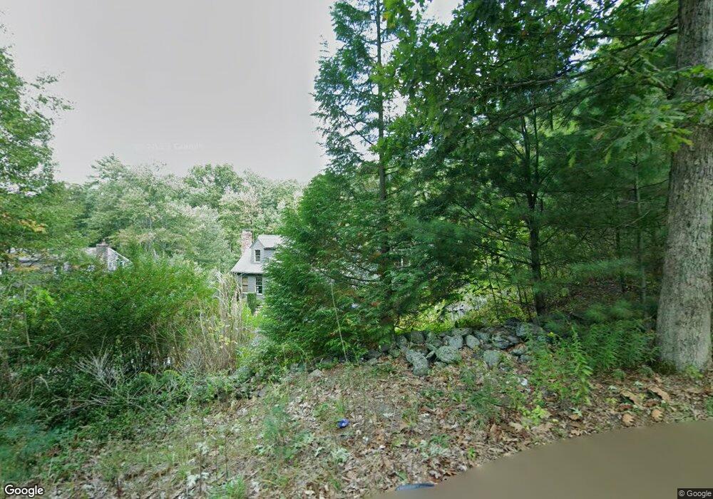
479 Page St Lunenburg, MA 01462
Estimated Value: $639,453 - $696,000
3
Beds
3
Baths
2,298
Sq Ft
$288/Sq Ft
Est. Value
About This Home
This home is located at 479 Page St, Lunenburg, MA 01462 and is currently estimated at $662,863, approximately $288 per square foot. 479 Page St is a home located in Worcester County with nearby schools including Lunenburg Primary School and Lunenburg High School.
Create a Home Valuation Report for This Property
The Home Valuation Report is an in-depth analysis detailing your home's value as well as a comparison with similar homes in the area
Home Values in the Area
Average Home Value in this Area
Tax History Compared to Growth
Tax History
| Year | Tax Paid | Tax Assessment Tax Assessment Total Assessment is a certain percentage of the fair market value that is determined by local assessors to be the total taxable value of land and additions on the property. | Land | Improvement |
|---|---|---|---|---|
| 2025 | $7,332 | $510,600 | $157,600 | $353,000 |
| 2024 | $7,091 | $502,900 | $148,800 | $354,100 |
| 2023 | $7,088 | $484,800 | $135,000 | $349,800 |
| 2022 | $6,383 | $371,300 | $112,600 | $258,700 |
| 2020 | $6,288 | $347,000 | $112,600 | $234,400 |
| 2019 | $6,140 | $328,700 | $106,200 | $222,500 |
| 2018 | $5,922 | $300,600 | $102,800 | $197,800 |
| 2017 | $5,650 | $282,800 | $98,600 | $184,200 |
| 2016 | $5,381 | $274,400 | $94,200 | $180,200 |
| 2015 | $4,871 | $265,900 | $89,800 | $176,100 |
Source: Public Records
Map
Nearby Homes
- 330 Arbor St
- 110 Burrage St
- 166 Elmwood Rd
- 11 Longwood Dr
- 1790 Massachusetts Ave Unit 25
- 1790 Massachusetts Ave Unit 22
- 878 Flat Hill Rd
- 45 Spring St
- 659 Reservoir Rd
- 828 Lancaster Ave
- 44 Hemlock Dr
- 61 Parker Rd
- 49 Parker Rd
- 35 Leominster Rd
- 372 Townsend Harbor Rd
- 9 Winter Hill Rd
- 2 Oakes Landing
- 9 Fairview Rd
- 12 Hazen Rd
- 31 School St