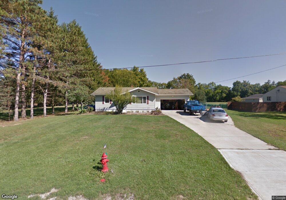
479 Pauline Dr Valley City, OH 44280
Estimated Value: $269,000 - $317,000
3
Beds
2
Baths
1,044
Sq Ft
$275/Sq Ft
Est. Value
About This Home
This home is located at 479 Pauline Dr, Valley City, OH 44280 and is currently estimated at $287,062, approximately $274 per square foot. 479 Pauline Dr is a home located in Medina County with nearby schools including Buckeye Intermediate School, Buckeye Primary School, and Buckeye Junior High School.
Ownership History
Date
Name
Owned For
Owner Type
Purchase Details
Closed on
May 29, 2009
Sold by
Atkins John M
Bought by
Dileonardo Frank
Current Estimated Value
Purchase Details
Closed on
Jul 6, 1999
Sold by
Saunders Dennis J and Saunders Antoinettem
Bought by
Atkins John M
Home Financials for this Owner
Home Financials are based on the most recent Mortgage that was taken out on this home.
Original Mortgage
$140,150
Interest Rate
7.28%
Mortgage Type
FHA
Create a Home Valuation Report for This Property
The Home Valuation Report is an in-depth analysis detailing your home's value as well as a comparison with similar homes in the area
Home Values in the Area
Average Home Value in this Area
Purchase History
| Date | Buyer | Sale Price | Title Company |
|---|---|---|---|
| Dileonardo Frank | $160,000 | -- | |
| Atkins John M | $143,500 | Affiliated Title |
Source: Public Records
Mortgage History
| Date | Status | Borrower | Loan Amount |
|---|---|---|---|
| Previous Owner | Atkins John M | $140,150 |
Source: Public Records
Tax History Compared to Growth
Tax History
| Year | Tax Paid | Tax Assessment Tax Assessment Total Assessment is a certain percentage of the fair market value that is determined by local assessors to be the total taxable value of land and additions on the property. | Land | Improvement |
|---|---|---|---|---|
| 2024 | $2,309 | $62,200 | $22,140 | $40,060 |
| 2023 | $2,309 | $62,200 | $22,140 | $40,060 |
| 2022 | $2,343 | $62,200 | $22,140 | $40,060 |
| 2021 | $2,003 | $48,600 | $17,300 | $31,300 |
| 2020 | $2,013 | $48,600 | $17,300 | $31,300 |
| 2019 | $2,014 | $48,600 | $17,300 | $31,300 |
| 2018 | $1,946 | $45,540 | $14,130 | $31,410 |
| 2017 | $1,950 | $45,540 | $14,130 | $31,410 |
| 2016 | $2,010 | $45,540 | $14,130 | $31,410 |
| 2015 | $1,928 | $42,160 | $13,080 | $29,080 |
| 2014 | $1,920 | $42,160 | $13,080 | $29,080 |
| 2013 | $1,923 | $42,160 | $13,080 | $29,080 |
Source: Public Records
Map
Nearby Homes
- 480 Bridge Pointe Ln
- 5277 Spruce Pointe Ln
- 5279 Creekside Blvd Unit T36
- 5366 Millcreek Blvd
- 5372 Millcreek Blvd
- 842 Glenrock Dr
- 878 Glenrock Dr
- 5320 Boston Rd
- 959 Overton Dr
- 4949 Orchard Dr
- 5965 Myrtle Hill Rd
- 4928 Treeline Dr
- 4910 Fallen Leaf Trail
- 464 Diamond Ct
- 4821 Grafton Rd
- 5068 Walden Ln
- 833 Substation Rd
- 841 Substation Rd
- 642 Topaz Ln
- 536 Topaz Ln Unit 90