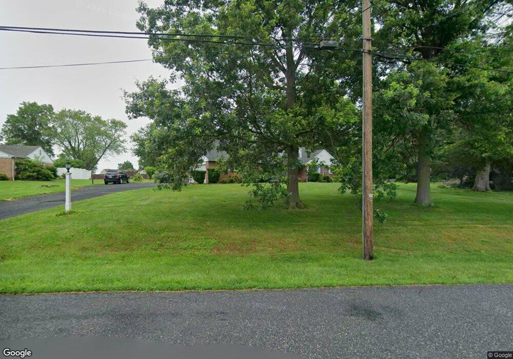
479 Smokepipe Rd Souderton, PA 18964
Estimated Value: $476,000 - $671,781
6
Beds
4
Baths
3,087
Sq Ft
$172/Sq Ft
Est. Value
About This Home
This home is located at 479 Smokepipe Rd, Souderton, PA 18964 and is currently estimated at $531,195, approximately $172 per square foot. 479 Smokepipe Rd is a home located in Montgomery County with nearby schools including Franconia Elementary School, Indian Crest Middle School, and Souderton Area Senior High School.
Ownership History
Date
Name
Owned For
Owner Type
Purchase Details
Closed on
Oct 1, 2005
Sold by
Stoneback Harvey D and Stoneback Gloria P
Bought by
Landis Brian L and Landis Krista R
Current Estimated Value
Home Financials for this Owner
Home Financials are based on the most recent Mortgage that was taken out on this home.
Original Mortgage
$285,000
Outstanding Balance
$152,737
Interest Rate
5.78%
Estimated Equity
$378,458
Create a Home Valuation Report for This Property
The Home Valuation Report is an in-depth analysis detailing your home's value as well as a comparison with similar homes in the area
Home Values in the Area
Average Home Value in this Area
Purchase History
| Date | Buyer | Sale Price | Title Company |
|---|---|---|---|
| Landis Brian L | -- | -- |
Source: Public Records
Mortgage History
| Date | Status | Borrower | Loan Amount |
|---|---|---|---|
| Open | Landis Brian L | $285,000 |
Source: Public Records
Tax History
| Year | Tax Paid | Tax Assessment Tax Assessment Total Assessment is a certain percentage of the fair market value that is determined by local assessors to be the total taxable value of land and additions on the property. | Land | Improvement |
|---|---|---|---|---|
| 2025 | $8,320 | $207,150 | $62,380 | $144,770 |
| 2024 | $8,320 | $207,150 | $62,380 | $144,770 |
| 2023 | $7,939 | $207,150 | $62,380 | $144,770 |
| 2022 | $7,696 | $207,150 | $62,380 | $144,770 |
| 2021 | $7,534 | $207,150 | $62,380 | $144,770 |
| 2020 | $7,432 | $207,150 | $62,380 | $144,770 |
| 2019 | $6,784 | $207,150 | $62,380 | $144,770 |
Source: Public Records
Map
Nearby Homes
- 478 Smokepipe Rd
- 372 High St
- 150 Thomas Dr
- 241 Diamond St
- 44 Diamond St
- 120 Packham Ct
- 250 W Hamlin Ave
- 300 Northview Ave
- 132 Bartlett Ct
- 52 Hillside Ave
- 126 N Station St
- 54 W Chestnut St
- 171 Maidenhead Ct Unit 171
- 111 Winding Way
- 626 Melvins Rd
- 208 E Broad St
- 110 Washington Ave
- 13 S 4th St Unit 19
- 428 E Broad St
- 140 N County Line Rd
- 471 Smokepipe Rd
- 0 Erie Ave Unit 7065663
- 487 Smokepipe Rd
- 252 Harleysville Pike
- 258 Harleysville Pike
- 467 Smokepipe Rd
- 246 Harleysville Pike
- 232 Harleysville Pike
- 264 Harleysville Pike
- 240 Harleysville Pike
- 356 High St
- 294 Harleysville Pike
- 463 Smokepipe Rd
- 234 Harleysville Pike
- 460 Smokepipe Rd
- 490 Smokepipe Rd
- 253 Harleysville Pike
- 235 Harleysville Pike
- 257 Harleysville Pike
- 243 Harleysville Pike
Your Personal Tour Guide
Ask me questions while you tour the home.