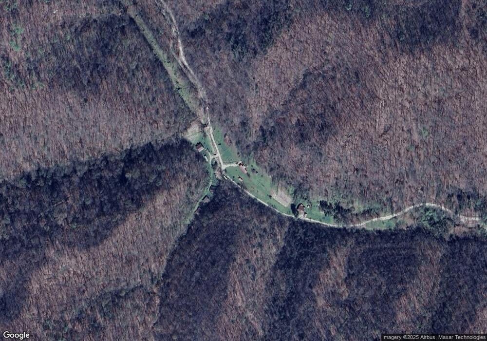
479 Stamper Fork Rd Jackson, KY 41339
Estimated Value: $89,000 - $131,000
3
Beds
1
Bath
676
Sq Ft
$173/Sq Ft
Est. Value
About This Home
This home is located at 479 Stamper Fork Rd, Jackson, KY 41339 and is currently estimated at $116,655, approximately $172 per square foot. 479 Stamper Fork Rd is a home located in Breathitt County.
Ownership History
Date
Name
Owned For
Owner Type
Purchase Details
Closed on
May 6, 2008
Sold by
Sizemore Hiram
Bought by
Gross Paula Gail
Current Estimated Value
Create a Home Valuation Report for This Property
The Home Valuation Report is an in-depth analysis detailing your home's value as well as a comparison with similar homes in the area
Purchase History
| Date | Buyer | Sale Price | Title Company |
|---|---|---|---|
| Gross Paula Gail | -- | -- |
Source: Public Records
Tax History
| Year | Tax Paid | Tax Assessment Tax Assessment Total Assessment is a certain percentage of the fair market value that is determined by local assessors to be the total taxable value of land and additions on the property. | Land | Improvement |
|---|---|---|---|---|
| 2024 | -- | $31,500 | $18,500 | $13,000 |
| 2023 | $434 | $31,500 | $0 | $0 |
| 2022 | $427 | $31,500 | $0 | $0 |
| 2021 | $427 | $31,500 | $0 | $0 |
| 2020 | $420 | $31,500 | $0 | $0 |
| 2019 | $418 | $31,500 | $0 | $0 |
| 2018 | $414 | $31,555 | $55 | $31,500 |
| 2017 | $413 | $31,555 | $55 | $31,500 |
| 2016 | $231 | $31,500 | $18,500 | $13,000 |
| 2015 | $231 | $22,339 | $0 | $0 |
| 2011 | -- | $31,400 | $18,400 | $13,000 |
Source: Public Records
Map
Nearby Homes
- 432 Joe Little Fork Rd
- 9999 Hensley Rd
- 0 Longs Creek Rd
- 535 Ashana Rd
- Turkey Creek
- 0 Breathitt Co Line Hwy 28 Unit 25508666
- 0 Puncheon Creek Road Lot Unit WP001
- 34 Green South Hollow Rd
- 00 Kennedy Dr
- 00 Jett Dr
- 6021 Kentucky 28
- 3051 Jetts Creek Rd
- 61 Armory Dr
- 101 Shucky Bean Hollow Rd
- 4662 Canoe
- 365 Quicksand Rd
- 2514 Smith Ln
- 7861 Highway 30
- 450 Shrilda Ln
- 809 Lincoln Ave
Your Personal Tour Guide
Ask me questions while you tour the home.
