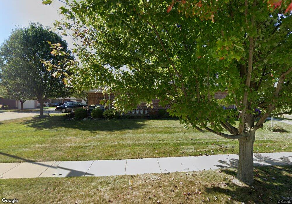
4791 Cornell St Unit 4791 Springfield, OH 45503
Estimated Value: $167,000 - $174,000
2
Beds
2
Baths
1,124
Sq Ft
$152/Sq Ft
Est. Value
About This Home
This home is located at 4791 Cornell St Unit 4791, Springfield, OH 45503 and is currently estimated at $171,405, approximately $152 per square foot. 4791 Cornell St Unit 4791 is a home located in Clark County with nearby schools including Northridge Elementary School, Kenton Ridge Middle & High School, and Emmanuel Christian Academy.
Ownership History
Date
Name
Owned For
Owner Type
Purchase Details
Closed on
Aug 17, 2006
Sold by
Hoppes Builders & Development Co
Bought by
Chestnut Bonnie L
Current Estimated Value
Home Financials for this Owner
Home Financials are based on the most recent Mortgage that was taken out on this home.
Original Mortgage
$19,500
Interest Rate
6.83%
Mortgage Type
Purchase Money Mortgage
Create a Home Valuation Report for This Property
The Home Valuation Report is an in-depth analysis detailing your home's value as well as a comparison with similar homes in the area
Home Values in the Area
Average Home Value in this Area
Purchase History
| Date | Buyer | Sale Price | Title Company |
|---|---|---|---|
| Chestnut Bonnie L | $164,900 | None Available |
Source: Public Records
Mortgage History
| Date | Status | Borrower | Loan Amount |
|---|---|---|---|
| Previous Owner | Chestnut Bonnie L | $19,500 |
Source: Public Records
Tax History
| Year | Tax Paid | Tax Assessment Tax Assessment Total Assessment is a certain percentage of the fair market value that is determined by local assessors to be the total taxable value of land and additions on the property. | Land | Improvement |
|---|---|---|---|---|
| 2025 | $1,558 | $58,580 | $9,630 | $48,950 |
| 2024 | $1,533 | $45,420 | $6,830 | $38,590 |
| 2023 | $1,533 | $45,420 | $6,830 | $38,590 |
| 2022 | $1,556 | $45,420 | $6,830 | $38,590 |
| 2021 | $1,536 | $30,670 | $5,250 | $25,420 |
| 2020 | $1,537 | $30,670 | $5,250 | $25,420 |
| 2019 | $1,566 | $30,670 | $5,250 | $25,420 |
| 2018 | $1,550 | $29,130 | $6,090 | $23,040 |
| 2017 | $1,328 | $35,252 | $6,090 | $29,162 |
| 2016 | $1,319 | $35,252 | $6,090 | $29,162 |
| 2015 | $1,557 | $36,162 | $7,000 | $29,162 |
| 2014 | $1,557 | $36,162 | $7,000 | $29,162 |
| 2013 | $1,520 | $36,162 | $7,000 | $29,162 |
Source: Public Records
Map
Nearby Homes
- 4802 Willowbrook Dr
- 1709 Thomas Dr
- 5033 Ridgewood Rd E
- 4741 Cullen Ave
- 4652 Reno Ln Unit 15
- 4577 Reno Ln Unit 2
- 4446 Ridgewood Rd E Unit 3
- 1521 Erika Dr
- 1341 Student Ave
- 4256 Midfield St Unit 9
- 4343 Burchill St
- 862 Brendle Trace Unit 20
- 5564 Ridgewood Rd E Unit 7
- 5564 Ridgewood Rd W
- 1707 Berwick Dr
- 5722 Victorian Way Unit 31
- 593 Hiser Ave
- 1836 Dunseth Ln
- 1812 Willow Lakes Dr
- 4500 Bosart Rd
- 4789 Cornell St Unit 4789
- 4793 Cornell St Unit 4793
- 4787 Cornell St
- 4785 Cornell St
- 4779 Cornell St Unit 4779
- 4779 Cornell St
- 4777 Cornell St Unit 4777
- 4777 Cornell St
- 4777 Cornell St
- 4781 Cornell St
- 4775 Cornell St Unit 4775
- 4783 Cornell St Unit 4783
- 4773 Cornell St
- 4773 Cornell St
- 4773 Cornell St Unit 4773
- 4773 Cornell St
- 4815 Cornell St
- 4771 Cornell St Unit 4771
- 4784 Cornell St Unit 4784
- 4806 Cornell St Unit 4806
Your Personal Tour Guide
Ask me questions while you tour the home.