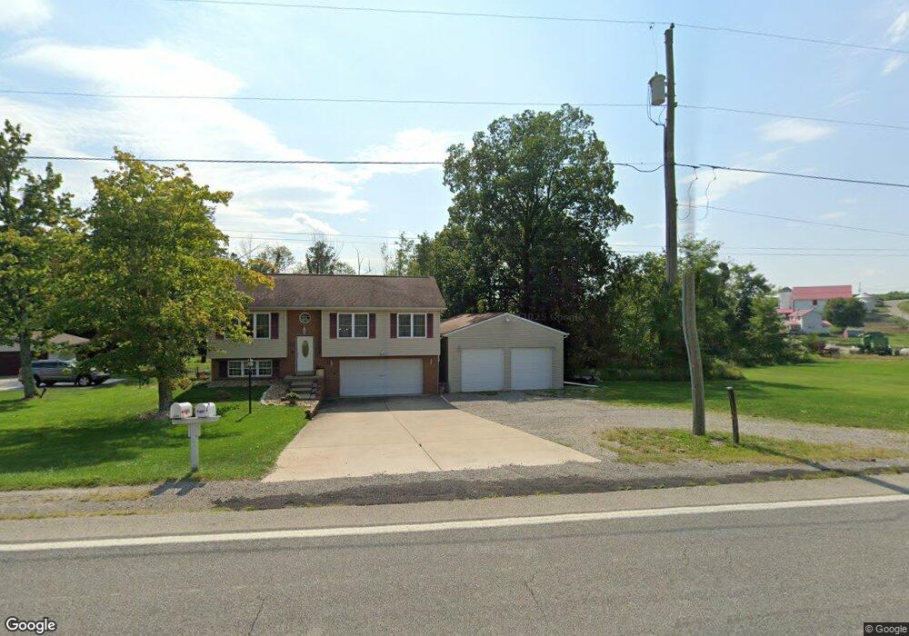
4791 State Route 819 Apollo, PA 15613
Estimated Value: $97,075 - $230,000
Studio
--
Bath
1,028
Sq Ft
$185/Sq Ft
Est. Value
About This Home
This home is located at 4791 State Route 819, Apollo, PA 15613 and is currently estimated at $190,519, approximately $185 per square foot. 4791 State Route 819 is a home located in Westmoreland County with nearby schools including Kiski Area High School.
Ownership History
Date
Name
Owned For
Owner Type
Purchase Details
Closed on
Jun 18, 2010
Sold by
Bell Raymond L and Bell Donna D
Bought by
Bartoe Jeffery D
Current Estimated Value
Home Financials for this Owner
Home Financials are based on the most recent Mortgage that was taken out on this home.
Original Mortgage
$118,400
Outstanding Balance
$78,962
Interest Rate
4.87%
Mortgage Type
FHA
Estimated Equity
$111,557
Purchase Details
Closed on
Jan 4, 2006
Sold by
Bell Debra D
Bought by
Bell Raymond L and Bell Donna D
Create a Home Valuation Report for This Property
The Home Valuation Report is an in-depth analysis detailing your home's value as well as a comparison with similar homes in the area
Home Values in the Area
Average Home Value in this Area
Purchase History
| Date | Buyer | Sale Price | Title Company |
|---|---|---|---|
| Bartoe Jeffery D | $120,000 | None Available | |
| Bell Raymond L | -- | None Available |
Source: Public Records
Mortgage History
| Date | Status | Borrower | Loan Amount |
|---|---|---|---|
| Open | Bartoe Jeffery D | $118,400 |
Source: Public Records
Tax History
| Year | Tax Paid | Tax Assessment Tax Assessment Total Assessment is a certain percentage of the fair market value that is determined by local assessors to be the total taxable value of land and additions on the property. | Land | Improvement |
|---|---|---|---|---|
| 2025 | $2,806 | $20,090 | $1,090 | $19,000 |
| 2024 | $2,650 | $20,090 | $1,090 | $19,000 |
| 2023 | $2,402 | $20,090 | $1,090 | $19,000 |
| 2022 | $2,342 | $20,090 | $1,090 | $19,000 |
| 2021 | $2,342 | $20,090 | $1,090 | $19,000 |
| 2020 | $2,336 | $20,090 | $1,090 | $19,000 |
| 2019 | $2,326 | $20,090 | $1,090 | $19,000 |
| 2018 | $2,285 | $20,090 | $1,090 | $19,000 |
| 2017 | $2,226 | $20,090 | $1,090 | $19,000 |
| 2016 | $2,008 | $20,090 | $1,090 | $19,000 |
| 2015 | $2,008 | $20,090 | $1,090 | $19,000 |
| 2014 | $1,942 | $17,930 | $1,090 | $16,840 |
Source: Public Records
Map
Nearby Homes
- 225 Kochka Dr
- 115 Truxall Rd
- 107 Moglia Ln
- 428 Meadows Dr
- 311 & 313 N 2nd St
- 623 Marco Rd
- 115 Acadia Ln
- 4416 State Route 819
- 211 Old Mill Rd
- 223 Old Mill Rd
- 4792 State Route 66
- 138 Beaver Run Rd
- 460 Beaver Run Rd
- 384 Northgate Dr Unit T
- 1738 Hancock Ave
- 380 Northgate Dr Unit E
- 380 Northgate Dr Unit D
- 127 Lily St
- 788 Old State Rd
- 314 S 5th St
- 4791 Pennsylvania 819
- 4787 State Route 819
- 756 Bell Point Rd
- 748 Bell Point Rd
- 735 Bell Point Rd
- 744 Bell Point Rd
- 740 Bell Point Rd
- 224 Moore Rd Unit T808
- 732 Bell Point Rd
- 227 Moore Rd
- 726 Lr-64021 Rd
- 230 Kochka Dr
- 230 Kochka Dr
- 722 Bell Point Rd
- 726 Bell Point Rd
- 340 Bell Point Rd
- 721 Bell Point Rd
- 221 Kochka Dr
- 221 Kochka Dr
- 716 Bell Point Rd
Your Personal Tour Guide
Ask me questions while you tour the home.