4793 Bayfields Rd Harwood, MD 20776
Harwood NeighborhoodEstimated Value: $2,979,890 - $4,302,000
--
Bed
6
Baths
7,796
Sq Ft
$442/Sq Ft
Est. Value
About This Home
This home is located at 4793 Bayfields Rd, Harwood, MD 20776 and is currently estimated at $3,447,297, approximately $442 per square foot. 4793 Bayfields Rd is a home located in Anne Arundel County with nearby schools including Lothian Elementary School, Southern Middle School, and Southern High School.
Ownership History
Date
Name
Owned For
Owner Type
Purchase Details
Closed on
May 22, 1997
Sold by
Hartman C Edward
Bought by
Nassetta Christopher J and Nassetta Madalyn P
Current Estimated Value
Purchase Details
Closed on
Apr 5, 1994
Sold by
Foxman N
Bought by
Hartman Ii C E
Home Financials for this Owner
Home Financials are based on the most recent Mortgage that was taken out on this home.
Original Mortgage
$600,000
Interest Rate
7.07%
Create a Home Valuation Report for This Property
The Home Valuation Report is an in-depth analysis detailing your home's value as well as a comparison with similar homes in the area
Home Values in the Area
Average Home Value in this Area
Purchase History
| Date | Buyer | Sale Price | Title Company |
|---|---|---|---|
| Nassetta Christopher J | $1,340,000 | -- | |
| Hartman Ii C E | $900,000 | -- |
Source: Public Records
Mortgage History
| Date | Status | Borrower | Loan Amount |
|---|---|---|---|
| Previous Owner | Hartman Ii C E | $600,000 |
Source: Public Records
Tax History Compared to Growth
Tax History
| Year | Tax Paid | Tax Assessment Tax Assessment Total Assessment is a certain percentage of the fair market value that is determined by local assessors to be the total taxable value of land and additions on the property. | Land | Improvement |
|---|---|---|---|---|
| 2025 | $32,084 | $3,091,467 | -- | -- |
| 2024 | $32,084 | $2,906,633 | $0 | $0 |
| 2023 | $29,969 | $2,721,800 | $1,498,100 | $1,223,700 |
| 2022 | $28,673 | $2,720,967 | $0 | $0 |
| 2021 | $57,328 | $2,720,133 | $0 | $0 |
| 2020 | $28,682 | $2,719,300 | $1,568,100 | $1,151,200 |
| 2019 | $28,605 | $2,709,300 | $0 | $0 |
| 2018 | $27,371 | $2,699,300 | $0 | $0 |
| 2017 | $27,634 | $2,689,300 | $0 | $0 |
| 2016 | -- | $2,688,233 | $0 | $0 |
| 2015 | -- | $2,687,200 | $0 | $0 |
| 2014 | -- | $2,686,100 | $0 | $0 |
Source: Public Records
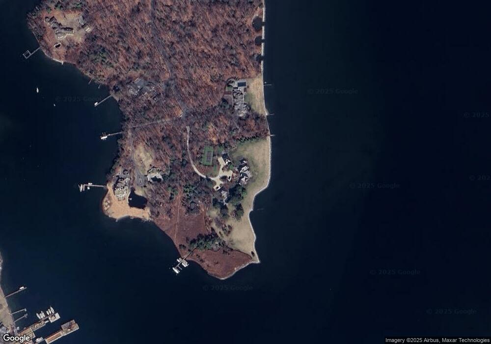
Map
Nearby Homes
- 0 Riverside Dr Unit B43 MDAA2117960
- 0 Riverside Dr Unit C4 MDAA2119968
- Lot 2 Benning Rd
- 946 Benning Rd
- 1009 Main St
- 1133 Steamboat Rd
- 6512 Shady Side Rd
- 4907 Quince St
- 6508 Shady Side Rd
- 4873 Anchors Way
- 4900 Thomas Dr
- 6440 W Shady Side Rd
- 4908 Aspen St
- 4912 Beech St
- 4992 Lerch Dr
- 4913 Chestnut St
- 1037 Biltmore Ave
- 1302 Spruce St
- 4846 Woods Wharf Rd
- 1419 Shady Rest Rd
- 4791 Bayfields Rd
- 4794 Bayfields Rd
- 4784 Bayfields Rd
- 4755 Bayfields Rd
- 4760 Bayfields Rd
- 4741 Bayfields Rd
- 2 Riverside Dr Unit C2
- 0 Riverside Dr Unit 1006969024
- 0 Riverside Dr Unit A02 MDAA2081282
- 2 Riverside Dr
- 0 Riverside Dr
- 0 Riverside Dr Unit B10 MDAA408734
- 4728 Bayfields Rd
- 916 Mulberry Ln
- 4703 Woodfield Rd
- 908 Mulberry Ln
- 1052 Benning Rd
- 4701 Woodfield Rd
- 4707 Woodfield Rd
- 1038 E Benning Rd