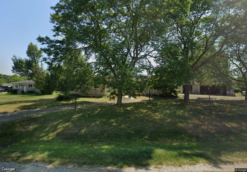
47946 Pheasant St Chesterfield, MI 48047
Estimated Value: $270,000 - $323,600
3
Beds
2
Baths
1,726
Sq Ft
$178/Sq Ft
Est. Value
About This Home
This home is located at 47946 Pheasant St, Chesterfield, MI 48047 and is currently estimated at $307,150, approximately $177 per square foot. 47946 Pheasant St is a home located in Macomb County with nearby schools including Dean A. Naldrett School, Anchor Bay Middle School South, and Anchor Bay High School.
Ownership History
Date
Name
Owned For
Owner Type
Purchase Details
Closed on
Oct 3, 2022
Sold by
Taillefer Larry G
Bought by
Taillefer Michael
Current Estimated Value
Purchase Details
Closed on
Mar 3, 2011
Sold by
Aurora Loan Services Llc
Bought by
Taillefer Larry G
Purchase Details
Closed on
Apr 2, 2010
Sold by
Toder Stokes Charlotte E
Bought by
Aurora Loan Services Llc
Purchase Details
Closed on
Apr 27, 2006
Sold by
Henry Paul W and Henry Michele L
Bought by
Toder Stokes Charlotte E
Purchase Details
Closed on
Jun 12, 1997
Sold by
Doherty D
Bought by
Henry P and Henry M
Create a Home Valuation Report for This Property
The Home Valuation Report is an in-depth analysis detailing your home's value as well as a comparison with similar homes in the area
Home Values in the Area
Average Home Value in this Area
Purchase History
| Date | Buyer | Sale Price | Title Company |
|---|---|---|---|
| Taillefer Michael | -- | -- | |
| Taillefer Larry G | $58,000 | None Available | |
| Aurora Loan Services Llc | $202,912 | None Available | |
| Toder Stokes Charlotte E | $225,000 | Title Source Inc | |
| Henry P | $150,000 | -- |
Source: Public Records
Tax History Compared to Growth
Tax History
| Year | Tax Paid | Tax Assessment Tax Assessment Total Assessment is a certain percentage of the fair market value that is determined by local assessors to be the total taxable value of land and additions on the property. | Land | Improvement |
|---|---|---|---|---|
| 2025 | $3,507 | $145,300 | $0 | $0 |
| 2024 | $1,874 | $138,100 | $0 | $0 |
| 2023 | $1,776 | $116,400 | $0 | $0 |
| 2022 | $3,002 | $108,500 | $0 | $0 |
| 2021 | $2,919 | $105,200 | $0 | $0 |
| 2020 | $1,632 | $100,500 | $0 | $0 |
| 2019 | $2,649 | $95,900 | $0 | $0 |
| 2018 | $2,648 | $87,800 | $12,200 | $75,600 |
| 2017 | $2,603 | $81,000 | $12,200 | $68,800 |
| 2016 | $2,582 | $81,000 | $0 | $0 |
| 2015 | $1,807 | $71,000 | $0 | $0 |
| 2014 | $1,807 | $69,500 | $10,300 | $59,200 |
| 2012 | -- | $0 | $0 | $0 |
Source: Public Records
Map
Nearby Homes
- 47900 Jefferson Ave
- 47978 Jefferson Ave
- 47812 Forbes Dr
- 47685 Jefferson Ave
- 29705 Alexandra Ln Unit 13
- 48093 Forbes St
- 29213 Rachid Ln
- 47935 Remington Ct
- 48041 Sugarbush Rd
- 29371 Bayside Cir N
- 48526 Jefferson Ave
- 48556 Harbor Dr
- 48590 Harbor Dr
- 47460 Sugarbush Rd
- 29126 Brooke Meadows Ct
- 48530 Sugarbush Rd Unit 45
- 29401 Wand Dr
- 50426 Jim Dr
- 47031 Jefferson Ave
- 50013 S Jimmy Ct
- 47960 Pheasant St
- 47915 Jefferson Ave
- 47970 Pheasant St
- 47905 Jefferson Ave
- 47921 Jefferson Ave
- 47929 Jefferson Ave
- 47889 Jefferson Ave
- 47941 Pheasant St
- 47953 Pheasant St
- 48935 Pheasant St
- 47980 Pheasant St
- 47961 Pheasant St
- 47937 Jefferson Ave
- 47879 Jefferson Ave
- 47869 Jefferson Ave
- 47990 Pheasant St
- 47945 Jefferson Ave
- 47981 Pheasant St
- 47991 Pheasant St
- 47953 Jefferson Ave