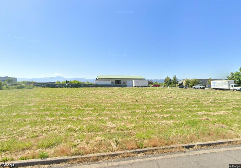
4796 Airway Dr Central Point, OR 97502
Estimated Value: $141,468
Studio
--
Bath
--
Sq Ft
20,909
Sq Ft Lot
About This Home
This home is located at 4796 Airway Dr, Central Point, OR 97502 and is currently estimated at $141,468. 4796 Airway Dr is a home located in Jackson County with nearby schools including Wilson Elementary School, Hedrick Middle School, and North Medford High School.
Ownership History
Date
Name
Owned For
Owner Type
Purchase Details
Closed on
Jun 9, 2025
Sold by
Table Rock Enterprise Llc
Bought by
Housing Authority Of Jackson County
Current Estimated Value
Purchase Details
Closed on
Jan 28, 2021
Sold by
Swanson Development Llc
Bought by
Table Rock Enterprise Llc
Purchase Details
Closed on
Jun 9, 2014
Sold by
Swanson Jerry S and Swanson Jan M
Bought by
Swanson Development Llc
Purchase Details
Closed on
Dec 15, 2003
Sold by
Airway Industrial Llc
Bought by
Swanson Jerry S and Swanson Jan M
Create a Home Valuation Report for This Property
The Home Valuation Report is an in-depth analysis detailing your home's value as well as a comparison with similar homes in the area
Purchase History
| Date | Buyer | Sale Price | Title Company |
|---|---|---|---|
| Housing Authority Of Jackson County | $167,000 | First American Title | |
| Table Rock Enterprise Llc | $119,800 | Ticor Title | |
| Swanson Development Llc | -- | Fa | |
| Swanson Development Llc | -- | None Available | |
| Swanson Jerry S | $296,000 | Lawyers Title Insurance Corp |
Source: Public Records
Tax History
| Year | Tax Paid | Tax Assessment Tax Assessment Total Assessment is a certain percentage of the fair market value that is determined by local assessors to be the total taxable value of land and additions on the property. | Land | Improvement |
|---|---|---|---|---|
| 2026 | $1,793 | -- | -- | -- |
| 2025 | $1,756 | $121,060 | $121,060 | -- |
| 2024 | $1,756 | $117,540 | $117,540 | -- |
| 2023 | $1,702 | $114,120 | $114,120 | $0 |
| 2022 | $1,661 | $114,120 | $114,120 | $0 |
| 2021 | $1,618 | $110,800 | $110,800 | $0 |
| 2020 | $1,584 | $107,580 | $107,580 | $0 |
| 2019 | $1,546 | $101,410 | $101,410 | $0 |
| 2018 | $1,507 | $98,460 | $98,460 | $0 |
| 2017 | $1,479 | $98,460 | $98,460 | $0 |
| 2016 | $1,489 | $92,820 | $92,820 | $0 |
| 2015 | $1,431 | $92,820 | $92,820 | $0 |
| 2014 | $1,406 | $87,500 | $87,500 | $0 |
Source: Public Records
Map
Nearby Homes
- 4824 Airway Dr Unit 371W06BB410
- 1151 Helicopter Way
- 1141 Helicopter Way
- 1250 Vilas Rd
- 5011 Highway 62
- 4595 Table Rock Rd
- 4399 Table Rock Rd
- 4692 Crater Lake Ave Unit 600
- 4404 Biddle Rd
- 4251 Table Rock Rd
- 201 Orchardview Cir
- 4105 Table Rock Rd
- 875 N Mountain Ave
- 4121 Table Rock Rd
- 4601 Biddle Rd Unit C
- 1816 E Vilas Rd
- 368 Live Oak Loop
- 2460 Jeremy St
- 225 Wilson Rd
- 4286 Hamrick Rd
- 4786 Airway Dr
- 4824 Airway Dr
- 4824 Airway Dr
- 4832 Airway Dr
- 782 Enterprise Dr
- 4795 Airway Dr
- 4787 Airway Dr Unit 15
- 4787 Airway Dr
- 4787 Airway Dr Unit 103
- 4825 Airway Dr
- 4825 Airway Dr
- 4779 Airway Dr Unit 14
- 4779 Airway Dr
- 802 Enterprise Dr
- 4677 Industry Dr
- 4841 Airway Dr
- 4848 Airway Dr
- 4888 Airway Dr
- 4896 Airway Dr
- 4778 Airway Dr
Your Personal Tour Guide
Ask me questions while you tour the home.