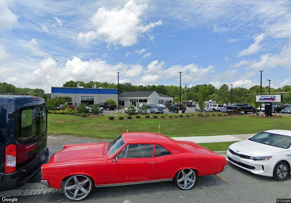
4796 Bridge Rd Suffolk, VA 23435
Nansemond Neighborhood
--
Bed
--
Bath
4,228
Sq Ft
1.04
Acres
About This Home
This home is located at 4796 Bridge Rd, Suffolk, VA 23435. 4796 Bridge Rd is a home located in Suffolk City with nearby schools including Creekside Elementary School, John Yeates Middle School, and Nansemond River High School.
Ownership History
Date
Name
Owned For
Owner Type
Purchase Details
Closed on
Sep 29, 2017
Sold by
Auto Properties Ii Llc A Maryland Limite
Bought by
Big Bridge Rd Llc A Virginia Limited Lia
Home Financials for this Owner
Home Financials are based on the most recent Mortgage that was taken out on this home.
Original Mortgage
$851,000
Outstanding Balance
$712,155
Interest Rate
3.89%
Mortgage Type
Commercial
Purchase Details
Closed on
Dec 9, 2014
Sold by
Corey Wilson Homes Llc
Bought by
Auto Properties Ii Llc
Purchase Details
Closed on
Feb 9, 2010
Sold by
Capital Finance Inc
Bought by
Commonwealth Of Va
Create a Home Valuation Report for This Property
The Home Valuation Report is an in-depth analysis detailing your home's value as well as a comparison with similar homes in the area
Home Values in the Area
Average Home Value in this Area
Purchase History
| Date | Buyer | Sale Price | Title Company |
|---|---|---|---|
| Big Bridge Rd Llc A Virginia Limited Lia | $765,000 | Stewart Title & Settlement | |
| Auto Properties Ii Llc | $600,000 | -- | |
| Commonwealth Of Va | $723,375 | -- |
Source: Public Records
Mortgage History
| Date | Status | Borrower | Loan Amount |
|---|---|---|---|
| Open | Big Bridge Rd Llc A Virginia Limited Lia | $851,000 |
Source: Public Records
Tax History Compared to Growth
Tax History
| Year | Tax Paid | Tax Assessment Tax Assessment Total Assessment is a certain percentage of the fair market value that is determined by local assessors to be the total taxable value of land and additions on the property. | Land | Improvement |
|---|---|---|---|---|
| 2024 | $7,908 | $647,200 | $357,200 | $290,000 |
| 2023 | $8,365 | $599,100 | $357,200 | $241,900 |
| 2022 | $6,530 | $599,100 | $357,200 | $241,900 |
| 2021 | $6,650 | $599,100 | $357,200 | $241,900 |
| 2020 | $6,650 | $599,100 | $357,200 | $241,900 |
| 2019 | $6,650 | $599,100 | $357,200 | $241,900 |
| 2018 | $6,542 | $600,200 | $358,100 | $242,100 |
| 2017 | $6,422 | $600,200 | $358,100 | $242,100 |
| 2016 | $6,422 | $600,200 | $358,100 | $242,100 |
| 2015 | -- | $600,200 | $358,100 | $242,100 |
| 2014 | -- | $337,700 | $189,000 | $148,700 |
Source: Public Records
Map
Nearby Homes
- 4613 Maplewood Dr
- 3404 Newport Dr
- 3408 Lynnhurst Blvd
- 3424 Brandywine Dr
- 3380 Brandywine Dr
- 6109 Old Townpoint Rd
- 3621 Calverton Way
- 5226 Moreland St
- 6232 Old Townpoint Rd
- 8110 Lee Hall Ave
- 6336 Old Townpoint Rd
- 6354 Old Townpoint Rd
- 6217 Freeman Ave
- 6231 Skeet Rd
- 7234 Arrington St
- 3440 Bernies Ct S
- 5621 Person St
- 3217 Bangor Dr
- 3549 Clover Meadows Dr
- 3113 Woodbaugh Dr