4796 Robinson Tract Rd Pulaski, VA 24301
Estimated Value: $822,347
--
Bed
--
Bath
--
Sq Ft
99.3
Acres
About This Home
This home is located at 4796 Robinson Tract Rd, Pulaski, VA 24301 and is currently estimated at $822,347. 4796 Robinson Tract Rd is a home located in Pulaski County with nearby schools including Pulaski Elementary School, Pulaski County Middle School, and Pulaski County High School.
Ownership History
Date
Name
Owned For
Owner Type
Purchase Details
Closed on
Apr 24, 2020
Sold by
Massie Scott Tucker and Massie Celeste W
Bought by
Bopp Robert Anthony and Bopp April Hall
Current Estimated Value
Home Financials for this Owner
Home Financials are based on the most recent Mortgage that was taken out on this home.
Original Mortgage
$275,000
Outstanding Balance
$244,528
Interest Rate
3.6%
Mortgage Type
Credit Line Revolving
Estimated Equity
$577,819
Create a Home Valuation Report for This Property
The Home Valuation Report is an in-depth analysis detailing your home's value as well as a comparison with similar homes in the area
Home Values in the Area
Average Home Value in this Area
Purchase History
| Date | Buyer | Sale Price | Title Company |
|---|---|---|---|
| Bopp Robert Anthony | $550,000 | Attorney |
Source: Public Records
Mortgage History
| Date | Status | Borrower | Loan Amount |
|---|---|---|---|
| Open | Bopp Robert Anthony | $275,000 |
Source: Public Records
Tax History Compared to Growth
Tax History
| Year | Tax Paid | Tax Assessment Tax Assessment Total Assessment is a certain percentage of the fair market value that is determined by local assessors to be the total taxable value of land and additions on the property. | Land | Improvement |
|---|---|---|---|---|
| 2025 | $1,956 | $506,900 | $323,400 | $183,500 |
| 2024 | $1,956 | $506,900 | $323,400 | $183,500 |
| 2023 | $1,956 | $506,900 | $323,400 | $183,500 |
| 2022 | $1,956 | $506,900 | $323,400 | $183,500 |
| 2021 | $3,751 | $506,900 | $323,400 | $183,500 |
| 2020 | $3,650 | $474,000 | $274,500 | $199,500 |
| 2019 | $3,650 | $474,000 | $274,500 | $199,500 |
| 2018 | $3,650 | $474,000 | $274,500 | $199,500 |
| 2017 | $3,034 | $474,000 | $274,500 | $199,500 |
| 2016 | $3,034 | $474,000 | $274,500 | $199,500 |
| 2015 | $3,034 | $474,000 | $274,500 | $199,500 |
| 2014 | $1,759 | $561,600 | $344,600 | $217,000 |
| 2013 | $1,759 | $561,600 | $344,600 | $217,000 |
Source: Public Records
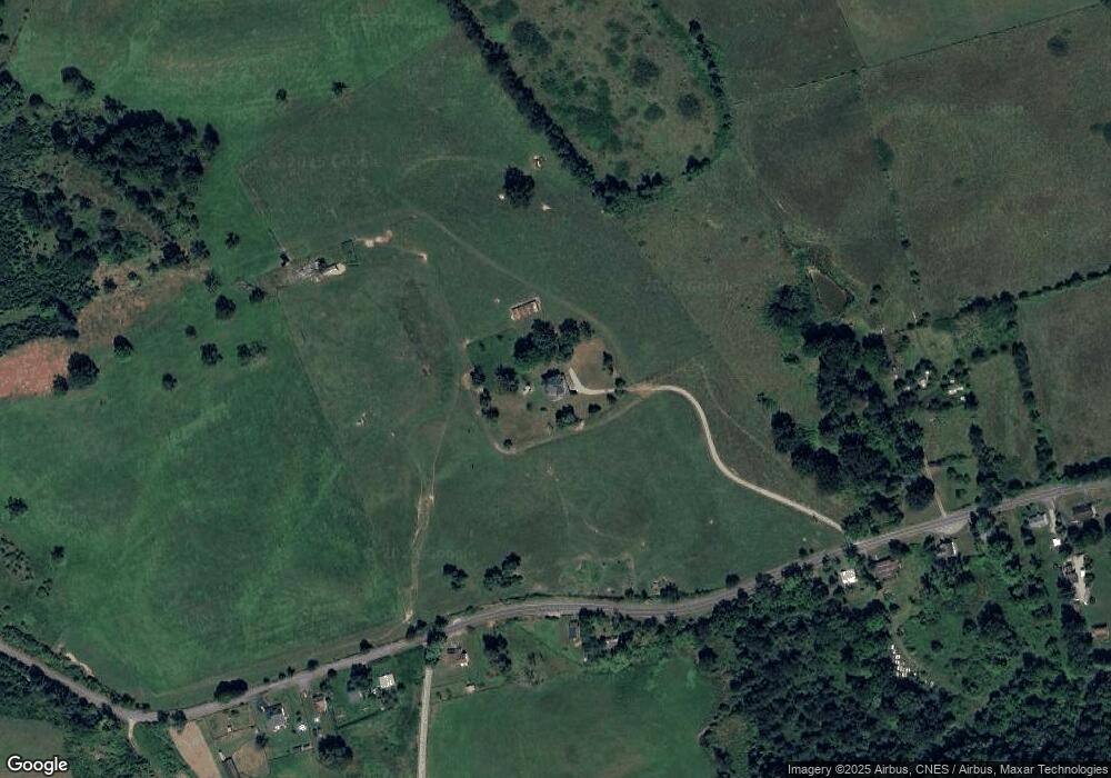
Map
Nearby Homes
- 2728 Winding Way Dr
- TBD Winding Way Dr
- 5341 Robinson Tract Rd
- TBD Hylton Village Loop
- TBD Peppers Ferry Rd
- TBD Case Knife Rd
- TBD Lee Hwy
- 4559 Thaxton Rd
- 0 Alum Spring Rd Unit LotWP001 22834267
- 0 Alum Spring Rd
- 5452 Alum Spring Rd
- Lot 9/11 Thaxton Rd
- 00 Robinson Tract Rd
- TBD Lee Hwy
- 0 Lee Hwy Unit 19484332
- 1467 Little Creek Rd
- 1407 Randolph Ave
- 2947 Haynes Rd
- 115 14th St NW
- 1961 Snider Ln
- 4829 Robinson Tract Rd
- 4863 Robinson Tract Rd
- 4797 Robinson Tract Rd
- 4766 Robinson Tract Rd
- 4881 Robinson Tract Rd
- 4793 Robinson Tract Rd
- 4893 Robinson Tract Rd
- 4779 Robinson Tract Rd
- 4911 Robinson Tract Rd
- 4773 Robinson Tract Rd
- 4765 Robinson Tract Rd
- 2520 Cox Hollow Rd
- 4761 Robinson Tract Rd
- 4761 Robinson Tract Rd
- 2508 Cox Hollow Rd
- 4751 Robinson Tract Rd
- 4722 Robinson Tract Rd
- 2516 Cox Hollow Rd
- 2512 Cox Hollow Rd
- 4721 Robinson Tract Rd