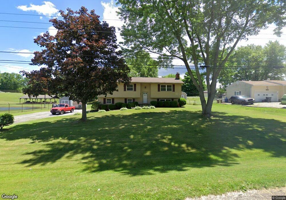
4797 Jupiter Dr Uniontown, OH 44685
Estimated Value: $240,573 - $261,000
3
Beds
2
Baths
1,236
Sq Ft
$203/Sq Ft
Est. Value
About This Home
This home is located at 4797 Jupiter Dr, Uniontown, OH 44685 and is currently estimated at $250,893, approximately $202 per square foot. 4797 Jupiter Dr is a home located in Summit County with nearby schools including Greenwood Elementary School, Green Intermediate Elementary School, and Green Primary School.
Ownership History
Date
Name
Owned For
Owner Type
Purchase Details
Closed on
Mar 3, 2003
Sold by
Mollohan Vickie L
Bought by
Sims William G and Sims Lynda J
Current Estimated Value
Home Financials for this Owner
Home Financials are based on the most recent Mortgage that was taken out on this home.
Original Mortgage
$65,000
Interest Rate
6.07%
Mortgage Type
New Conventional
Create a Home Valuation Report for This Property
The Home Valuation Report is an in-depth analysis detailing your home's value as well as a comparison with similar homes in the area
Purchase History
| Date | Buyer | Sale Price | Title Company |
|---|---|---|---|
| Sims William G | $132,500 | -- |
Source: Public Records
Mortgage History
| Date | Status | Borrower | Loan Amount |
|---|---|---|---|
| Closed | Sims William G | $65,000 |
Source: Public Records
Tax History
| Year | Tax Paid | Tax Assessment Tax Assessment Total Assessment is a certain percentage of the fair market value that is determined by local assessors to be the total taxable value of land and additions on the property. | Land | Improvement |
|---|---|---|---|---|
| 2024 | $3,192 | $68,188 | $13,024 | $55,164 |
| 2023 | $3,192 | $68,188 | $13,024 | $55,164 |
| 2022 | $2,738 | $52,521 | $10,017 | $42,504 |
| 2021 | $2,566 | $52,521 | $10,017 | $42,504 |
| 2020 | $2,516 | $52,520 | $10,020 | $42,500 |
| 2019 | $2,309 | $45,170 | $10,020 | $35,150 |
| 2018 | $2,361 | $45,170 | $10,020 | $35,150 |
| 2017 | $2,131 | $45,170 | $10,020 | $35,150 |
| 2016 | $2,120 | $38,270 | $10,020 | $28,250 |
| 2015 | $2,131 | $38,270 | $10,020 | $28,250 |
| 2014 | $2,117 | $38,270 | $10,020 | $28,250 |
| 2013 | $1,977 | $35,470 | $10,020 | $25,450 |
Source: Public Records
Map
Nearby Homes
- 4472 Broadley Cir
- 4522-4526 Camelot Cir
- 4710 Pinecrest Dr
- 4529-4533 Camelot Cir
- 4769 Cherimoya Ave
- 4 Shrakes Hotel Dr
- 6 Shrakes Hotel Dr
- 3 Shrakes Hotel Dr
- 5 Shrakes Hotel Dr
- 7 Shrakes Hotel Dr
- 4885 Will Dr
- 1264 Everbright Dr
- 1294 Cherry Ln
- 4786 Bickford Ave
- 4387 Ridge View Dr
- lot 8 Whyem Dr
- 0 S Arlington Rd Unit 4494606
- 1510 Woodland Dr
- 4646 Whyem Dr
- 4628 Whyem Dr
Your Personal Tour Guide
Ask me questions while you tour the home.