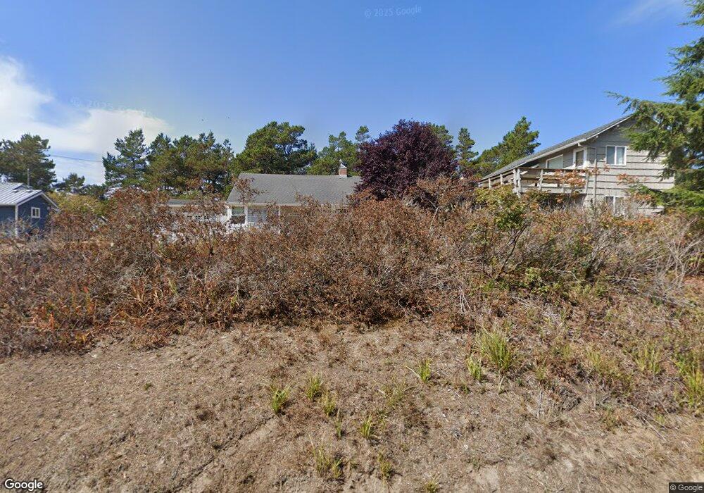
47990 Hawk Dr Neskowin, OR 97149
Estimated Value: $405,000 - $789,000
2
Beds
1
Bath
883
Sq Ft
$766/Sq Ft
Est. Value
About This Home
This home is located at 47990 Hawk Dr, Neskowin, OR 97149 and is currently estimated at $676,286, approximately $765 per square foot. 47990 Hawk Dr is a home with nearby schools including Nestucca K-8 School and Nestucca High School.
Ownership History
Date
Name
Owned For
Owner Type
Purchase Details
Closed on
May 8, 2023
Sold by
Myers Family Trust
Bought by
Deniger Laura J and May Jill M
Current Estimated Value
Purchase Details
Closed on
Jan 5, 2022
Sold by
Myers Joan M
Bought by
Myers Family Trust
Purchase Details
Closed on
Mar 27, 2013
Sold by
Gordon Mark A and Gordon Barbara B
Bought by
Hawks Beach Llc
Home Financials for this Owner
Home Financials are based on the most recent Mortgage that was taken out on this home.
Original Mortgage
$101,600
Interest Rate
3.54%
Mortgage Type
Seller Take Back
Purchase Details
Closed on
May 27, 2010
Sold by
Gordon Mark A and Gordon Barbara B
Bought by
Hawks Beach Llc
Create a Home Valuation Report for This Property
The Home Valuation Report is an in-depth analysis detailing your home's value as well as a comparison with similar homes in the area
Purchase History
| Date | Buyer | Sale Price | Title Company |
|---|---|---|---|
| Deniger Laura J | -- | None Listed On Document | |
| Myers Family Trust | -- | -- | |
| Hawks Beach Llc | -- | None Available | |
| Hawks Beach Llc | -- | None Available |
Source: Public Records
Mortgage History
| Date | Status | Borrower | Loan Amount |
|---|---|---|---|
| Previous Owner | Hawks Beach Llc | $101,600 |
Source: Public Records
Tax History
| Year | Tax Paid | Tax Assessment Tax Assessment Total Assessment is a certain percentage of the fair market value that is determined by local assessors to be the total taxable value of land and additions on the property. | Land | Improvement |
|---|---|---|---|---|
| 2025 | $4,889 | $386,530 | $249,460 | $137,070 |
| 2024 | $4,630 | $375,280 | $242,200 | $133,080 |
| 2023 | $4,641 | $364,350 | $235,150 | $129,200 |
| 2022 | $4,476 | $353,740 | $228,300 | $125,440 |
| 2021 | $4,349 | $343,440 | $221,650 | $121,790 |
| 2020 | $4,241 | $333,440 | $215,200 | $118,240 |
| 2019 | $4,152 | $323,730 | $208,930 | $114,800 |
| 2018 | $3,832 | $314,310 | $202,850 | $111,460 |
| 2017 | $3,449 | $305,160 | $196,950 | $108,210 |
| 2016 | $3,176 | $296,280 | $191,220 | $105,060 |
| 2015 | $3,283 | $287,660 | $185,660 | $102,000 |
| 2014 | $3,205 | $279,290 | $180,260 | $99,030 |
| 2013 | -- | $271,160 | $175,010 | $96,150 |
Source: Public Records
Map
Nearby Homes
- 48010 Hawk St
- 48250 Hawk St
- 48250 Breakers Blvd Unit 7
- 6600 Schoolhouse Rd
- 4850 Schoolhouse Rd
- 48988 U S 101 S
- 48988 Highway 101 S Unit 137-F
- 4800 Blk Valley View Dr Tl 4000
- 4800 Valley View Dr
- V/L 6500 Hill Crest Dr
- 0 Hilltop Ln Unit 704164730
- 0 S Fairway Rd Unit 653571953
- 0 S Fairway Rd Unit 315656510
- 46995 Beach Crest Dr
- 49800 Proposal Rock Loop
- 49400 Blk Nescove Dr Tl303
- TL 507 S Beach Rd
- TL48 Vanora
- TL46 Vanora St
- TL47 Vanora St
- 47960 Hawk Dr
- 48010 Hawk Dr
- 47940 Hawk Dr
- 4430 Mt Angel Ave
- 4435 Mt Angel Ave
- 48020 Hawk Dr
- 47920 Hawk Dr
- 4455 Forest Grove Ave
- 4435 Forest Grove Ave
- 4410 Mt Angel
- 4390 Mount Angel Ave
- TL 2000 Mount Angel Ave
- 0 Mount Angel Ave
- 48040 Hawk Dr
- 4405 Forest Grove Ave
- 47890 Hawk Dr
- 48060 Hawk Dr
- 4385 Forest Grove Ave
- 4395 Mount Angel Ave
- 4395 Mt Angel Ave
Your Personal Tour Guide
Ask me questions while you tour the home.