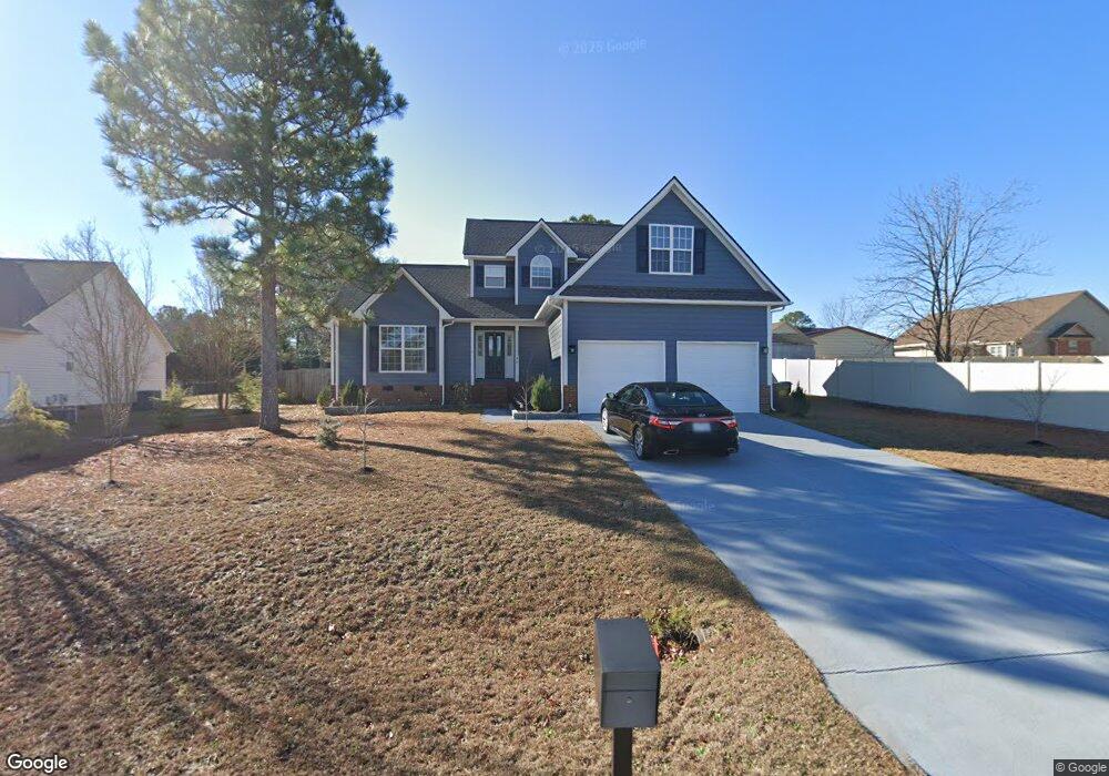
48 Advance Dr Lillington, NC 27546
Estimated Value: $284,000 - $325,000
5
Beds
--
Bath
2,060
Sq Ft
$149/Sq Ft
Est. Value
About This Home
This home is located at 48 Advance Dr, Lillington, NC 27546 and is currently estimated at $306,293, approximately $148 per square foot. 48 Advance Dr is a home located in Harnett County with nearby schools including Anderson Creek Primary School, South Harnett Elementary School, and Western Harnett Middle School.
Ownership History
Date
Name
Owned For
Owner Type
Purchase Details
Closed on
Jul 18, 2024
Sold by
Strickland Connie Mostoller and Strickland Clyde F
Bought by
Strickland Family Trust and Strickland
Current Estimated Value
Purchase Details
Closed on
Aug 29, 2007
Sold by
Foster Dale C
Bought by
Strickalnd Clyde F and Strickalnd Connie L
Home Financials for this Owner
Home Financials are based on the most recent Mortgage that was taken out on this home.
Original Mortgage
$75,000
Interest Rate
6.65%
Mortgage Type
New Conventional
Purchase Details
Closed on
Jul 24, 2007
Sold by
Forter Dale C
Bought by
Strickland Clyde E and Strickland Connie L
Home Financials for this Owner
Home Financials are based on the most recent Mortgage that was taken out on this home.
Original Mortgage
$75,000
Interest Rate
6.65%
Mortgage Type
New Conventional
Purchase Details
Closed on
Sep 15, 2004
Sold by
Foster Kimberly D
Bought by
Foster Dale C
Create a Home Valuation Report for This Property
The Home Valuation Report is an in-depth analysis detailing your home's value as well as a comparison with similar homes in the area
Home Values in the Area
Average Home Value in this Area
Purchase History
| Date | Buyer | Sale Price | Title Company |
|---|---|---|---|
| Strickland Family Trust | -- | None Listed On Document | |
| Strickalnd Clyde F | -- | None Available | |
| Strickland Clyde E | $175,000 | None Available | |
| Foster Dale C | -- | None Available |
Source: Public Records
Mortgage History
| Date | Status | Borrower | Loan Amount |
|---|---|---|---|
| Previous Owner | Strickland Clyde E | $75,000 |
Source: Public Records
Tax History
| Year | Tax Paid | Tax Assessment Tax Assessment Total Assessment is a certain percentage of the fair market value that is determined by local assessors to be the total taxable value of land and additions on the property. | Land | Improvement |
|---|---|---|---|---|
| 2025 | $1,365 | $227,657 | $0 | $0 |
| 2024 | $1,681 | $227,657 | $0 | $0 |
| 2023 | $1,681 | $227,657 | $0 | $0 |
| 2022 | $1,387 | $227,657 | $0 | $0 |
| 2021 | $1,387 | $151,420 | $0 | $0 |
| 2020 | $1,387 | $151,420 | $0 | $0 |
| 2019 | $1,372 | $151,420 | $0 | $0 |
| 2018 | $1,372 | $151,420 | $0 | $0 |
| 2017 | $1,372 | $151,420 | $0 | $0 |
| 2016 | $1,477 | $163,630 | $0 | $0 |
| 2015 | $1,477 | $163,630 | $0 | $0 |
| 2014 | $1,477 | $163,630 | $0 | $0 |
Source: Public Records
Map
Nearby Homes
Your Personal Tour Guide
Ask me questions while you tour the home.