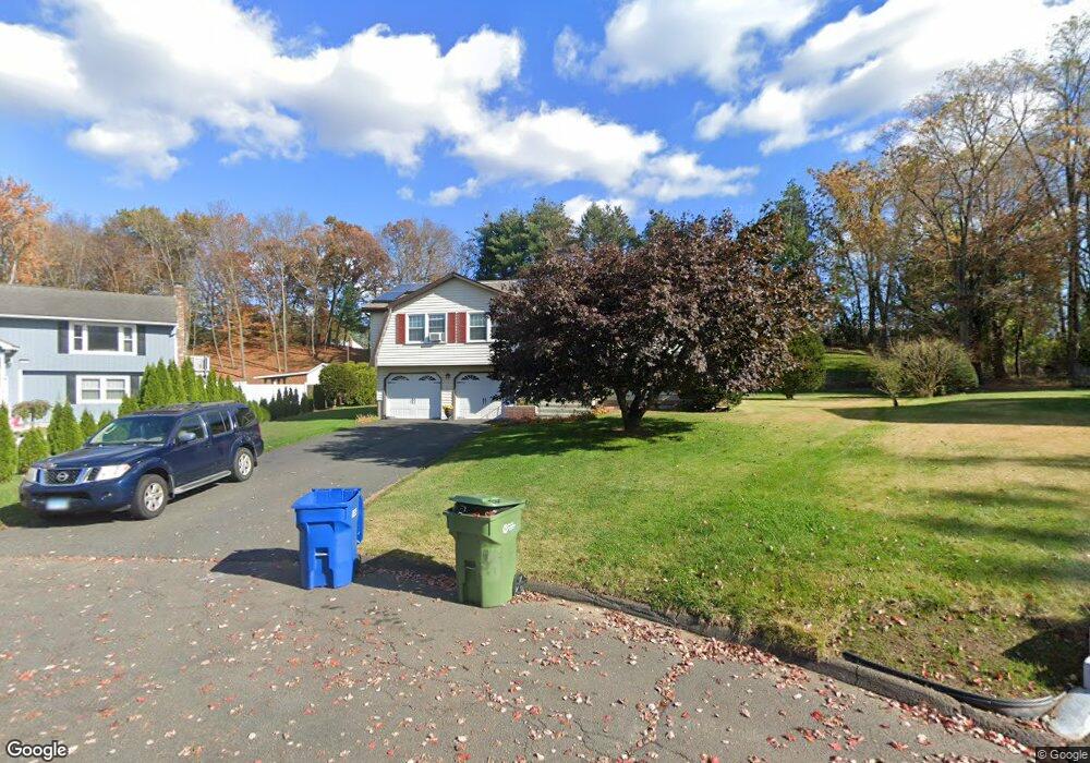
48 Andrew Ln Windsor, CT 06095
West Windsor NeighborhoodEstimated Value: $366,000 - $418,000
3
Beds
3
Baths
1,262
Sq Ft
$306/Sq Ft
Est. Value
About This Home
This home is located at 48 Andrew Ln, Windsor, CT 06095 and is currently estimated at $386,395, approximately $306 per square foot. 48 Andrew Ln is a home located in Hartford County with nearby schools including Oliver Ellsworth School, John F. Kennedy School, and Sage Park Middle School.
Ownership History
Date
Name
Owned For
Owner Type
Purchase Details
Closed on
Jun 28, 1993
Sold by
Kim Ho Sum and Kim Dum Ok
Bought by
Brown Jennifer and Watson Ronald
Current Estimated Value
Home Financials for this Owner
Home Financials are based on the most recent Mortgage that was taken out on this home.
Original Mortgage
$127,800
Interest Rate
7.37%
Mortgage Type
Purchase Money Mortgage
Create a Home Valuation Report for This Property
The Home Valuation Report is an in-depth analysis detailing your home's value as well as a comparison with similar homes in the area
Home Values in the Area
Average Home Value in this Area
Purchase History
| Date | Buyer | Sale Price | Title Company |
|---|---|---|---|
| Brown Jennifer | $142,000 | -- |
Source: Public Records
Mortgage History
| Date | Status | Borrower | Loan Amount |
|---|---|---|---|
| Closed | Brown Jennifer | $127,800 |
Source: Public Records
Tax History
| Year | Tax Paid | Tax Assessment Tax Assessment Total Assessment is a certain percentage of the fair market value that is determined by local assessors to be the total taxable value of land and additions on the property. | Land | Improvement |
|---|---|---|---|---|
| 2025 | $6,118 | $215,040 | $68,880 | $146,160 |
| 2024 | $6,520 | $215,040 | $68,880 | $146,160 |
| 2023 | $4,913 | $146,230 | $52,920 | $93,310 |
| 2022 | $4,865 | $146,230 | $52,920 | $93,310 |
| 2021 | $4,865 | $146,230 | $52,920 | $93,310 |
| 2020 | $4,842 | $146,230 | $52,920 | $93,310 |
| 2019 | $4,735 | $146,230 | $52,920 | $93,310 |
| 2018 | $4,677 | $141,890 | $52,920 | $88,970 |
| 2017 | $4,604 | $141,890 | $52,920 | $88,970 |
| 2016 | $4,472 | $141,890 | $52,920 | $88,970 |
| 2015 | $4,387 | $141,890 | $52,920 | $88,970 |
| 2014 | $4,323 | $141,890 | $52,920 | $88,970 |
Source: Public Records
Map
Nearby Homes
Your Personal Tour Guide
Ask me questions while you tour the home.