48 Apache Way Tewksbury, MA 01876
Estimated Value: $389,612 - $471,000
1
Bed
1
Bath
1,000
Sq Ft
$430/Sq Ft
Est. Value
About This Home
This home is located at 48 Apache Way, Tewksbury, MA 01876 and is currently estimated at $430,403, approximately $430 per square foot. 48 Apache Way is a home located in Middlesex County with nearby schools including Heath-Brook Elementary School.
Ownership History
Date
Name
Owned For
Owner Type
Purchase Details
Closed on
May 22, 2000
Sold by
Straub Frances C
Bought by
Candelora Janice E
Current Estimated Value
Home Financials for this Owner
Home Financials are based on the most recent Mortgage that was taken out on this home.
Original Mortgage
$106,800
Interest Rate
8.19%
Mortgage Type
Purchase Money Mortgage
Create a Home Valuation Report for This Property
The Home Valuation Report is an in-depth analysis detailing your home's value as well as a comparison with similar homes in the area
Home Values in the Area
Average Home Value in this Area
Purchase History
| Date | Buyer | Sale Price | Title Company |
|---|---|---|---|
| Candelora Janice E | $133,500 | -- |
Source: Public Records
Mortgage History
| Date | Status | Borrower | Loan Amount |
|---|---|---|---|
| Open | Candelora Janice E | $106,000 | |
| Closed | Candelora Janice E | $106,800 | |
| Closed | Candelora Janice E | $106,800 | |
| Previous Owner | Candelora Janice E | $30,000 |
Source: Public Records
Tax History Compared to Growth
Tax History
| Year | Tax Paid | Tax Assessment Tax Assessment Total Assessment is a certain percentage of the fair market value that is determined by local assessors to be the total taxable value of land and additions on the property. | Land | Improvement |
|---|---|---|---|---|
| 2025 | $4,934 | $373,200 | $0 | $373,200 |
| 2024 | $4,555 | $340,200 | $0 | $340,200 |
| 2023 | $4,375 | $310,300 | $0 | $310,300 |
| 2022 | $4,110 | $270,400 | $0 | $270,400 |
| 2021 | $4,027 | $256,200 | $0 | $256,200 |
| 2020 | $4,002 | $250,600 | $0 | $250,600 |
| 2019 | $3,494 | $220,600 | $0 | $220,600 |
| 2018 | $3,361 | $208,400 | $0 | $208,400 |
| 2017 | $3,241 | $198,700 | $0 | $198,700 |
| 2016 | $2,958 | $180,900 | $0 | $180,900 |
| 2015 | $2,655 | $162,200 | $0 | $162,200 |
| 2014 | $2,584 | $160,400 | $0 | $160,400 |
Source: Public Records
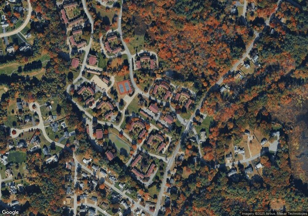
Map
Nearby Homes
- 71 Apache Way Unit 71
- 177 Apache Way Unit 177
- 127 Caddy Ct
- 107 Eagle Dr Unit 107
- 93 Fairway Dr
- 15 Pinewood Rd
- 16 Eagle Dr
- 110 Royal Crest Cir
- 22 Carleton Rd
- 14 Hinckley Rd
- 5 Kensington Way Unit 5
- 172 Patrick Rd
- 93 Vale St
- 32 Decarolis Dr
- 43 Patrick Rd
- 20 Oakland Ave
- 61 Patrick Rd
- 1418 Main St Unit 201
- 1455 Main St Unit 8
- 11 Orchard St