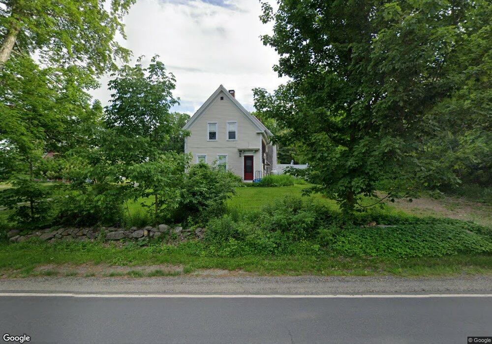
48 Barnestown Rd Camden, ME 04843
Estimated Value: $698,000 - $761,000
4
Beds
3
Baths
2,329
Sq Ft
$310/Sq Ft
Est. Value
About This Home
This home is located at 48 Barnestown Rd, Camden, ME 04843 and is currently estimated at $721,864, approximately $309 per square foot. 48 Barnestown Rd is a home located in Knox County with nearby schools including Camden-Rockport Elementary School, Camden-Rockport Middle School, and Camden Hills Regional High School.
Ownership History
Date
Name
Owned For
Owner Type
Purchase Details
Closed on
Jun 15, 2018
Sold by
Jl Robbins Trust
Bought by
Spencer Janice
Current Estimated Value
Home Financials for this Owner
Home Financials are based on the most recent Mortgage that was taken out on this home.
Original Mortgage
$135,000
Outstanding Balance
$117,066
Interest Rate
4.62%
Estimated Equity
$604,798
Create a Home Valuation Report for This Property
The Home Valuation Report is an in-depth analysis detailing your home's value as well as a comparison with similar homes in the area
Home Values in the Area
Average Home Value in this Area
Purchase History
| Date | Buyer | Sale Price | Title Company |
|---|---|---|---|
| Spencer Janice | -- | -- |
Source: Public Records
Mortgage History
| Date | Status | Borrower | Loan Amount |
|---|---|---|---|
| Open | Spencer Janice | $135,000 | |
| Closed | Spencer Janice | -- |
Source: Public Records
Tax History Compared to Growth
Tax History
| Year | Tax Paid | Tax Assessment Tax Assessment Total Assessment is a certain percentage of the fair market value that is determined by local assessors to be the total taxable value of land and additions on the property. | Land | Improvement |
|---|---|---|---|---|
| 2024 | $6,486 | $617,700 | $161,000 | $456,700 |
| 2023 | $5,618 | $407,100 | $66,000 | $341,100 |
| 2022 | $5,374 | $407,100 | $66,000 | $341,100 |
| 2021 | $5,594 | $364,400 | $70,600 | $293,800 |
| 2020 | $5,626 | $374,300 | $70,600 | $303,700 |
| 2019 | $5,433 | $364,400 | $70,600 | $293,800 |
| 2018 | $4,445 | $298,700 | $66,900 | $231,800 |
| 2017 | $4,295 | $298,700 | $66,900 | $231,800 |
| 2016 | $4,172 | $267,600 | $39,100 | $228,500 |
| 2015 | $4,049 | $267,600 | $39,100 | $228,500 |
| 2014 | $3,861 | $267,600 | $39,100 | $228,500 |
| 2013 | $3,757 | $267,600 | $39,100 | $228,500 |
Source: Public Records
Map
Nearby Homes
- 6 Rd
- 2 Bald Mountain Rd
- 424 Molyneaux Rd
- 43 Melvin Heights Rd
- 24 White Tail Dr
- 4 Ministerial Rd
- 315 Beaucaire Ave
- 91 Simonton Rd
- 76 Park St
- TBD Map 15 Lot 150 Mt Pleasant St
- Lot 25 West St
- 159 Mechanic St
- 111 Start Rd
- 80 Cobb Rd
- 161 Beaucaire Ave
- 10 Glenfield Cir
- 646 West St
- 92 Camden Rd
- 319 West St
- 180 Mistic Ave
- 42 Barnestown Rd
- 55 Barnestown Rd
- 45 Barnestown Rd
- 37 Barnestown Rd
- 64 Barnestown Rd
- 27 Barnestown Rd
- 70 Barnestown Rd
- 80 Barnstown Rd
- 80 Barnestown Rd
- 53 Brandy Brook Rd
- 54 Brandy Brook Rd
- 8 Brandy Brook Rd
- 89 Barnestown Rd
- 9 Brandy Brook Rd
- 25 Brandy Brook Rd
- 4524 Molyneaux & Barnstown
- 26 Blueberry Ln
- 576 Molyneaux Rd
- 547 Molyneaux Rd
- 103 Barnestown Rd