48 Barters Point Rd Ln Saint George, ME 04860
Estimated Value: $331,316 - $763,000
3
Beds
1
Bath
864
Sq Ft
$550/Sq Ft
Est. Value
About This Home
This home is located at 48 Barters Point Rd Ln, Saint George, ME 04860 and is currently estimated at $475,079, approximately $549 per square foot. 48 Barters Point Rd Ln is a home located in Knox County with nearby schools including Oceanside High School East.
Ownership History
Date
Name
Owned For
Owner Type
Purchase Details
Closed on
Jun 9, 2015
Sold by
Frank E Meservey Jr Ft
Bought by
Oreilly Deborah E and Oreilly James E
Current Estimated Value
Home Financials for this Owner
Home Financials are based on the most recent Mortgage that was taken out on this home.
Original Mortgage
$140,000
Interest Rate
3.62%
Mortgage Type
New Conventional
Create a Home Valuation Report for This Property
The Home Valuation Report is an in-depth analysis detailing your home's value as well as a comparison with similar homes in the area
Home Values in the Area
Average Home Value in this Area
Purchase History
| Date | Buyer | Sale Price | Title Company |
|---|---|---|---|
| Oreilly Deborah E | -- | -- |
Source: Public Records
Mortgage History
| Date | Status | Borrower | Loan Amount |
|---|---|---|---|
| Closed | Oreilly Deborah E | $140,000 |
Source: Public Records
Tax History Compared to Growth
Tax History
| Year | Tax Paid | Tax Assessment Tax Assessment Total Assessment is a certain percentage of the fair market value that is determined by local assessors to be the total taxable value of land and additions on the property. | Land | Improvement |
|---|---|---|---|---|
| 2024 | $2,325 | $196,200 | $120,000 | $76,200 |
| 2023 | $2,178 | $196,200 | $120,000 | $76,200 |
| 2022 | $1,982 | $196,200 | $120,000 | $76,200 |
| 2021 | $1,923 | $196,200 | $120,000 | $76,200 |
| 2020 | $1,884 | $196,200 | $120,000 | $76,200 |
| 2019 | $1,884 | $196,200 | $120,000 | $76,200 |
| 2018 | $1,756 | $196,200 | $120,000 | $76,200 |
| 2017 | $1,707 | $196,200 | $120,000 | $76,200 |
| 2016 | $1,648 | $196,200 | $120,000 | $76,200 |
| 2015 | $1,609 | $196,200 | $120,000 | $76,200 |
| 2014 | $1,570 | $196,200 | $120,000 | $76,200 |
| 2013 | -- | $196,200 | $120,000 | $76,200 |
Source: Public Records
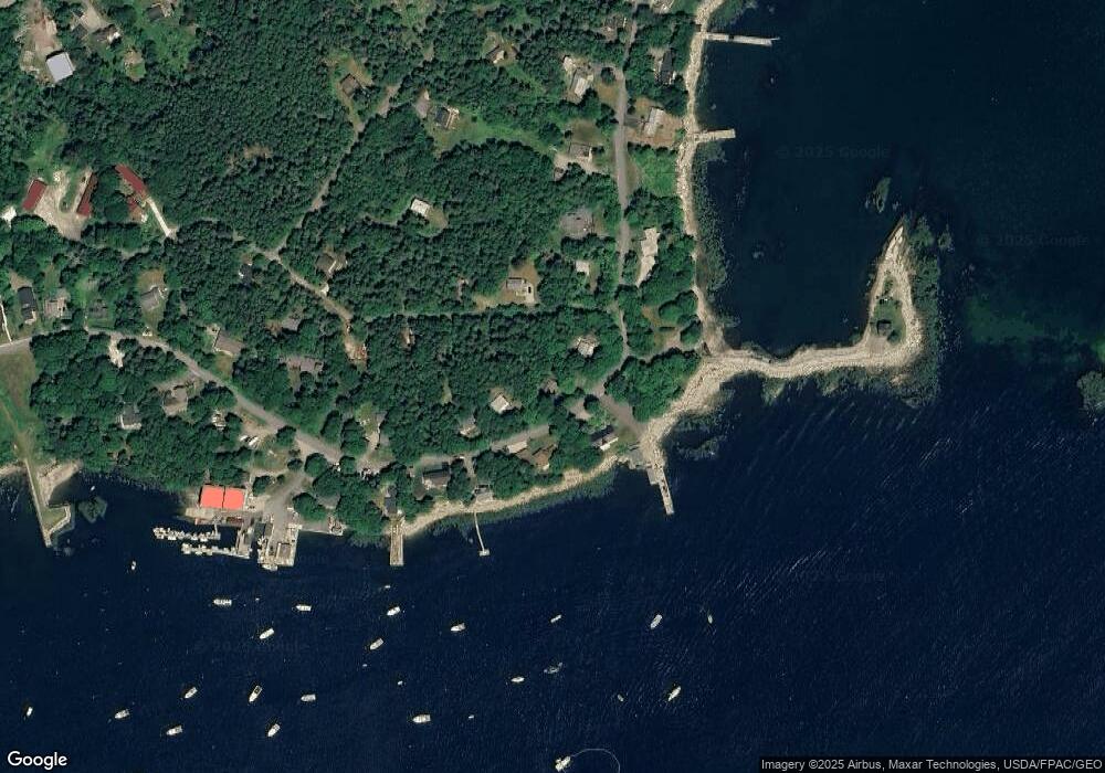
Map
Nearby Homes
- 47 Barter Point Rd
- 30 Mouse Island Rd
- 5 Watts Ave
- 65 Haskell Point Rd
- 15 Port Clyde Rd
- 174 Pink St
- 224 Wallston Rd
- 395 Port Clyde Rd
- 29 English Town Rd E
- 260 Clark Island Rd
- M217 L074 Kallio Cove Rd
- Lot73 M217 Kallio Cove Rd
- 422 Wallston Rd
- M214 L23C1 Autumn Marsh Rd
- 175 Ridge Rd
- 0 Blackberry Hill Rd
- 47 Teel Cove Rd
- 6 Glenmere Rd
- 133 Scraggle Point Rd
- Lot 55 Calf Island
- 54 Barters Point Rd Ln
- 47 Barters Point Rd Ln
- 41 Barters Point Rd Ln
- 41 Barters Point Rd
- 42 Barters Point Rd Ln
- 9 Mouse Island Rd
- 58 Spruce Ln
- 38 Barters Point Rd Ln
- 50 Spruce Ln
- 35 Barters Point Rd Ln
- 68 Barters Point Rd
- 65 Barters Point Rd Ln
- 46 Spruce Ln
- 31 Barters Point Rd Rd
- 68 Barters Point Rd Ln
- 00 Barters Point Rd
- 24 Barters Point Rd
- 00 Spruce Ln
- 25 Barters Point Rd Ln
- 25 Barter Point Rd